
Route n°43 – La Croix des Olmes
Celles-sur-Durolle
 No dogs allowed
Distance 21.3Km
Hiking route BOUCLE
Marking Brown FFC mountain bike markings
In pictures
Route description
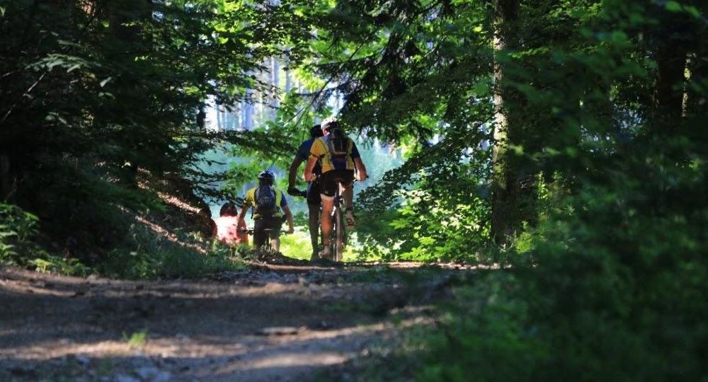
Accessible to intermediate riders, this well-balanced circuit combines rolling sections with more technical portions for a complete immersion in the nature of the Thiers mountains.
Departing from Celles-sur-Durlle, this 21.3 km, 550 m ascent begins with a short descent before a gradual ascent to the ruins of Montguerle castle. The route then alternates between ascents and descents through woods and meadows, offering a beautiful variety of landscapes.
At the halfway point, the trail passes the(…)
Opening hours
All year round daily.
Subject to favorable weather.
Additional information
To help you find your way around, the following are available from tourist offices and shops : – a topo-guide with 30 detailed circuit sheets on a 1/25000 IGN map (€20) – a travel map with all 1520km of circuits and 75 routes (€4).
Photo credits : Espace VTT FFC Massif des Bois Noirs
 Updated on 8 July 2026 by Maison du Tourisme du Livradois-Forez