
Discovering Les Martres-d’Artière
Les Martres-d’Artière
 No dogs allowed
Distance 8.6Km
Duration 2h30
Hiking route BOUCLE
Marking Yellow markings
In pictures
Route description
Start at Rue du Creux des Mets. From Riom, follow Saint-Beauzire on the D78, then Lussat on the D6. Enter the town via Rue de l’Enfer. Starting point after the church.
Guidebook with maps/step-by-step
Step 1 : Starting point near the church. Walk up the street towards the church. Turn left on rue de la croix Debret. At the intersection, turn right on rue Henri Pourrat. Near the church, turn right on rue de la Petite Fontaine. Climb the stairs to the left of the fountain. Pass the town hall and turn right into rue St-Martin. At the intersection, go straight on, slightly to the left. At Place de la Grande Fontaine, take Rue de l’Enfer.
Step 2 : Before the bridge, cross the road and follow the left-hand sidewalk to cross the bridge. At the intersection, cross the Route de Lussat and turn left up the Chemin de la Côte. Follow the grassy path to the plateau and take the 1st right. Continue straight downhill. Before the 1st house, turn right.
Step 3 : Cross the route de Lussat and go straight ahead. Continue to rue Henri Pourrat and turn left. At the crossroads, take the Chemin de la Chapelle opposite to reach the Etang des Martailles. Cross the route de Vichy.
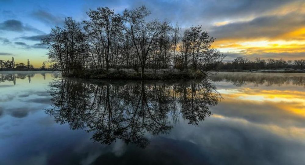
Step 4 : Continue straight ahead until you reach the pond, then turn left around it. At the 1st intersection, turn right to reach the Artière/Allier confluence. Retrace your steps and continue along the pond on the left-hand path. Once you’ve gone all the way round the pond, take the left-hand path and then the Chemin de la Chapelle to the D1093.
Next step
Step 5 : Follow the sidewalk to the left and cross the D1093. Go straight ahead on chemin des Baratins. At the next junction, turn left into rue de la Touraille. Turn left into the Bosquet housing estate. At the end of the cul-de-sac, turn left. Cross the park.
Opening hours
All year round daily.
Environment
In the country, In centre of town, Town location, Waterside
Downloadable :
Photo credits : Jean François Bussière
 Updated on 18 December 2025 by Office de Tourisme Terra Volcana, les Pays de Volvic