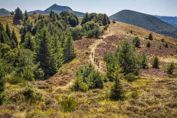
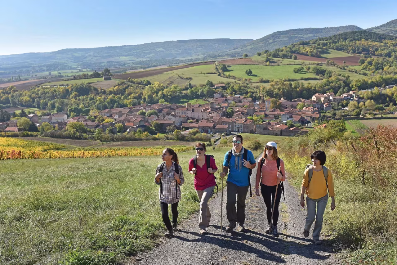
3D walks in Puy-de-Dôme

Discover a new way to plan your nature outings in the Puy-de-Dôme. Thanks to 3D visualisation, explore each itinerary as if you were there: changes in altitude, panoramic views, key passages... Everything you need to help you choose the ideal hike in the heart of the Chaîne des Puys and its emblematic volcanic landscapes.

5 results

La vallée de Chaudefour

Distance : 15.5Km

Durée : 5h00

Dénivelé : 935m

Difficulté : Très difficile

Chambon-sur-Lac

Les puys Chopine et des Gouttes

Distance : 6Km

Durée : 2h00

Dénivelé : 176m

Difficulté : Facile

Saint-Ours

Le puy de Corent

Distance : 6.5Km

Durée : 2h00

Dénivelé : 220m

Difficulté : Facile

Corent

Around Lake Aydat

Distance : 6.5Km

Durée : 1h45

Dénivelé : 105m

Difficulté : Facile

Aydat

Le puy de Montenard

Distance : 5Km

Durée : 1h30

Dénivelé : 126m

Difficulté : Facile

Saulzet-le-Froid

You will also like...