
Andesite
Volvic
 No dogs allowed
Distance 27.7Km
Duration 7h45
Hiking route BOUCLE
Marking Green markings
In pictures
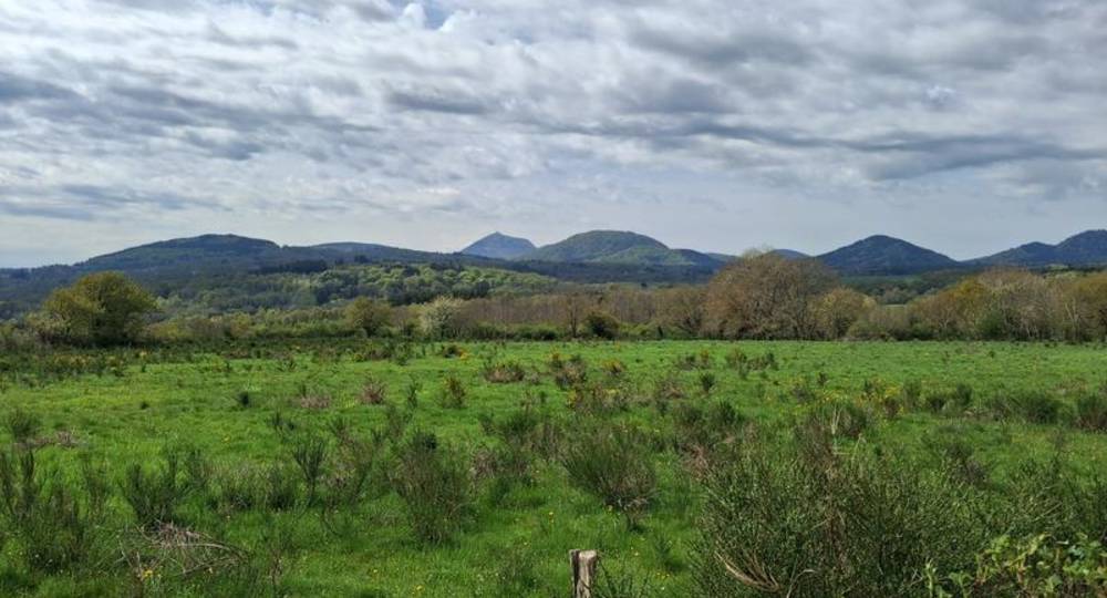
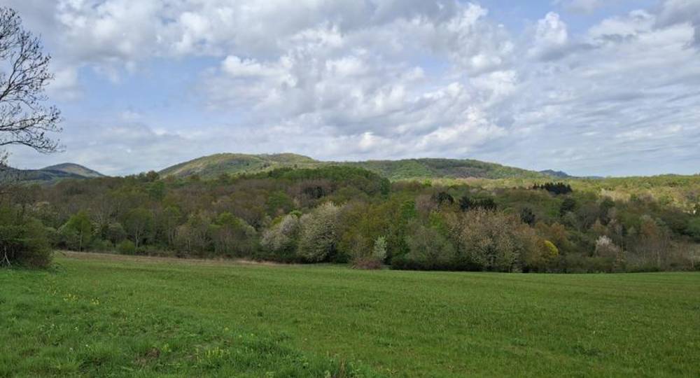
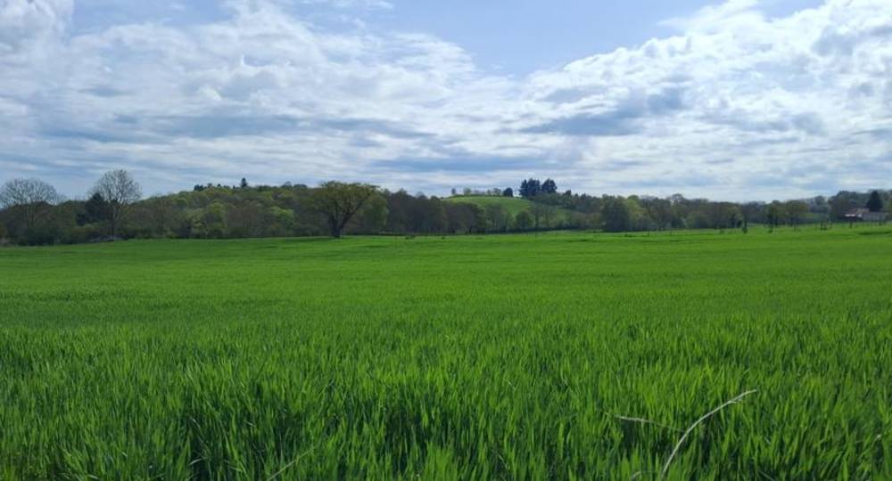
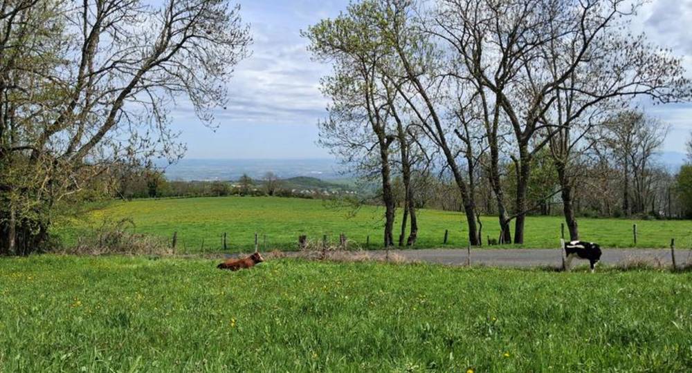
Route description
Departure TourtouleFrom Volvic, follow signs for Pontgibaud on the D986, then turn left towards Tourtoule. Continue through the village to the circular fountain, then turn left to the parking lot on the right.
Guidebook with maps/step-by-step
Step 1 : Departure from Tourtoule. At the circular fountain, turn left to reach the parking lot on the right. Continue straight ahead on Rue des Ecoles. Opposite the bus shelter, turn right. Cross the main road and take the path opposite. At the road, turn left up to the stop sign and then right. After the level crossing, turn left uphill. At the plateau, turn left along the railroad line.
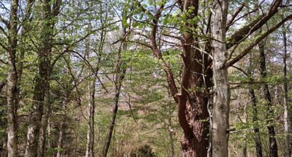
Step 2 : At the T, turn right and climb up to the road. Cross the road and take the first left into the undergrowth. At the crossroads (remarkable tree), turn right. At the next crossroads, turn left. At the next junction, turn left, then immediately right. Take the third right out of the undergrowth. At the next T, turn right, then left. Descend to Egaules.
Step 3 : At the road, turn left, then right over the crosswalk. Turn left into rue des Grands Prés. At the next T, turn right. At the T, turn right, passing the farm. Go straight on for approx. 600 m and take the 1st left. At the road, turn right. At the next intersection, cross the road and continue straight ahead. Leave a track on your left. At the road, turn right as far as the fire station. Turn left at the children’s garden (wetland on the left). At the crossroads after the gardens, turn right. Go straight on to La Poste. Follow the road to the fountain. Climb the stairs to La Salesse.
Step 4 : Follow the soccer pitch. At the Y, turn left and continue for approx. 1 km. At the T, turn left, then right at the next junction. Cross the forest and join the road.
Next step
Step 5 : Cross the road and go straight ahead. At the crow’s-foot, turn left, then right around the embankment. Follow the narrow path to the concrete troughs. Turn left uphill. At the top, turn right, then right again at the crossroads (leaving the GR on your left). Continue until you reach the GR.
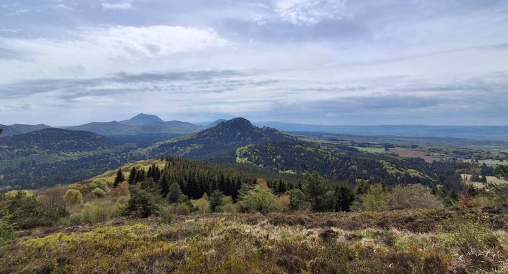
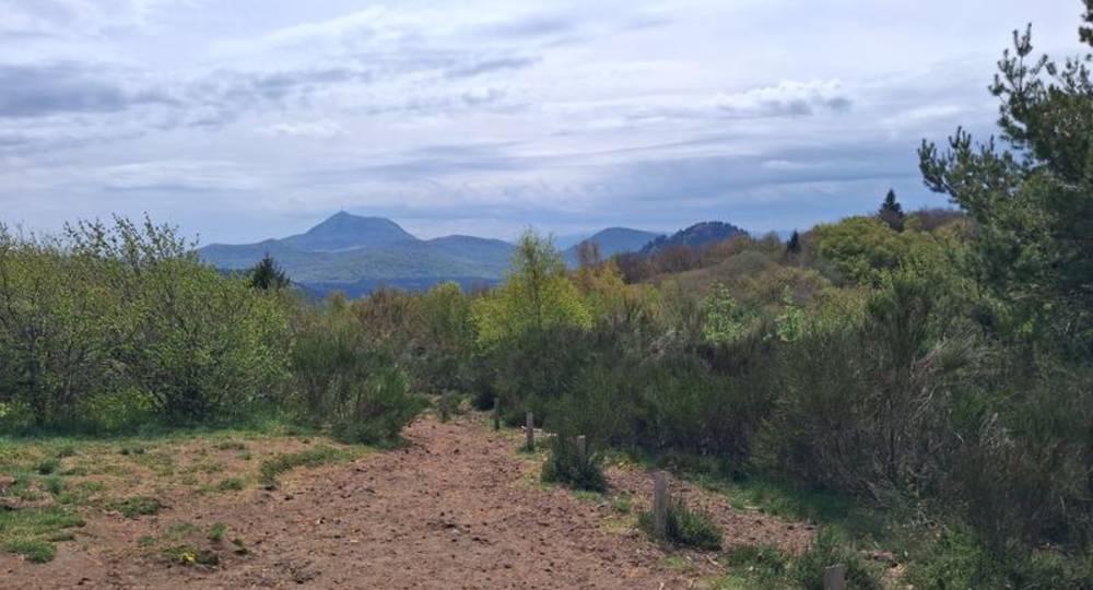
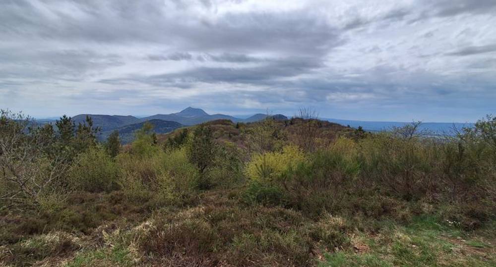
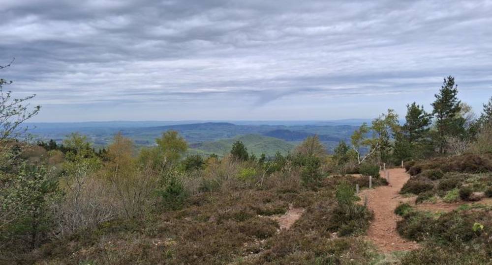
Climb over the puys de la Coquille and de Jumes (panorama). Follow the GR for about 2.3 km to the Col de la Nugère.
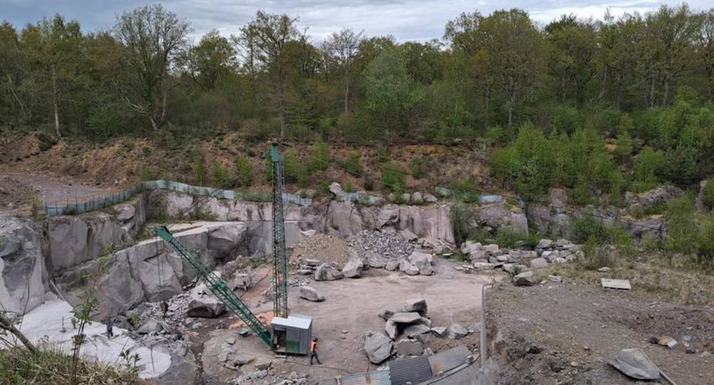
Step 6 : Cross the road, enter the undergrowth and turn left. Leave the GR on the right and continue for 50 m. At the crow’s-foot, turn right. Descend into the gully. Leave a track on the right and continue to a crossroads. Turn right and continue for approx. 1 km to the next crossroads. Continue straight ahead. After 100 m, turn right at a hairpin bend. Continue as far as the quarry. Turn right, passing the old quarry house. Turn left around the quarry, then right at the quarry entrance. At the bottom of the slope, take the first left. Reach the station and turn right.
Step 7 : Cross the railroad line and turn left, skirting the building. After 50 m,
turn right. Pass under the bridge, then turn right. Drive up the track to the first houses. Leave the hotel on your left and continue to the road. Cross the road and continue straight ahead. At the crossroads, turn
then right (fountain on left) uphill. At the top, turn left to reach Tourtoule. Turn right, then right again. Pass the transformer. Turn left at the fountain, then straight on to the starting point.
Opening hours
All year round daily.
Comfort, facilities and services
- Car park
- Free car park
Environment
In the country, Forest location, Village -2 km away
Downloadable :
Photo credits : RLV, RLV, RLV, RLV, RLV, RLV, RLV, RLV, RLV, RLV, RLV, RLV
 Updated on 2 July 2026 by Office de Tourisme Terra Volcana, les Pays de Volvic