
Through the villages
Maringues
 No dogs allowed
Distance 7Km
Duration 2h00
Hiking route BOUCLE
Marking Blue markings
In pictures


Route description
Departure from Vensat. From Maringues, follow signs for Vichy. 3.5 km further on, turn right onto the D55. Parking on the Vensat square.
Guidebook with maps/step-by-step
Step 1 : Start : From the Place de Vensat signpost, cross the crossroads (left, old dovecote) and climb to the left of the cross on Rue du Puy Mary. Follow the path up to a crow’s-foot at the foot of the Montgacon hill. Take the path to the left of the water tower to go around the mound (view of the Puys chain and the Limagne plain). In Montgacon, you can make a return trip to the summit (5 mins.). Continue to the crossroads at the end of the village.
Step 2 : Go downhill on the road (view of Livradois Forez and Bois Noirs). After 400 m, turn right onto the track and, at the end, turn right. Take the first track on the left as far as La Bardine (bread oven, wash-house). Turn right onto the road and take the first path on the right. At the fork, go left. Join a road, follow it to the left for 200 m, then turn right onto a grassy path through the fields. At the T junction, go left to join a track at the first houses in Sanat.
Step 3 : Follow it to the right and, at the crossroads, continue straight ahead. At the road, turn right to Les Fourniers (covered fountain and wash-house). Cross Place de la Prade and, at the first crossroads (Four à pain), go straight ahead to the next one.
Step 4 : Turn right into rue des Peupliers, and continue straight ahead on the road to Vensat. Cross the road, go uphill and downhill on the left (Travail à ferrer) to reach the starting point.
Opening hours
All year round daily.
Environment
Waterside, In the country, Village centre
Downloadable :
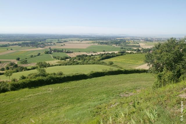
Photo credits : Plaine Limagne, Plaine Limagne, Plaine Limagne, Plaine Limagne
 Updated on 11 July 2026 by Office de Tourisme Terra Volcana, les Pays de Volvic