
At the source of the Morge
Manzat
 Dogs allowed
Distance 16.5Km
Duration 5h00
Marking Green
In pictures
Route description
The Morge rises in the heart of the Combrailles region, near the Etang de Lachamps in Manzat. Calmer as it enters the plain, the river has created small meanders favourable to alluvial forests.
Trail highlights
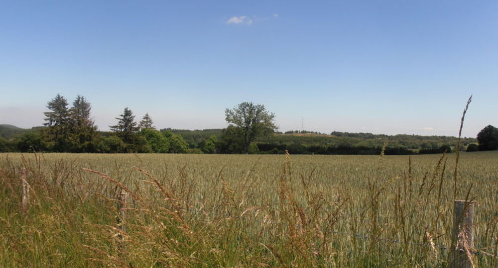
– View of the Morge valley, the puy de Blomont and the Combrailles plateau.
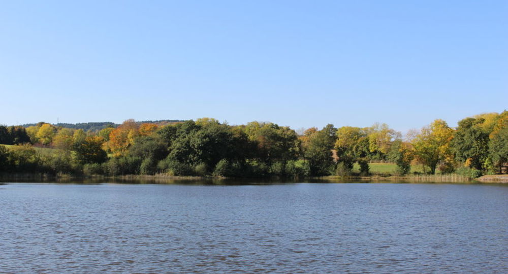
– View of the Etang de Lachamp.
– Stone cross.
– River Morge.
– Memorial cross in a private garden.
Guidebook with maps/step-by-step
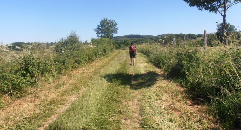
Step 1 : From the start sign, climb Rue du Château d’Eau. At the fork, turn left and climb up to the flat. At another fork, turn right to a T junction (view of the Morge valley, puy de Blomont, Combrailles plateau).
Step 2 : Climb to the left, then 30m to the right on a track between two pastures. At the junction with another large track, head downhill for 100 m, then turn left. At the D 413, continue straight ahead. At the T junction, turn right for a few meters until you reach another junction.
Step 3 : Go downhill to the left, crossing the Morge river. At the T-junction, continue right (at the first flat spot, view of the Etang de Lachamp ; information panel) to a tarmac road (stone cross).
Step 4 : Turn right into the hamlet of Laty. Take the first left, then the first right. At the end of Laty, take the left-hand track. At the crossroads, go straight ahead along the coniferous wood. Ford a stream and go uphill. Join a large track which you follow to the right for 30 m. Opposite a painted wooden cross, take the path on the left. Continue through the forest, ignoring all the paths leading up to the left, until you reach the D 418.
Next step
Step 5 : At the first house in Montbuisson, turn right down towards the Morge, then left along it and right across it. Climb up to the D 413. Go straight on ; at the farm building, turn left towards the hamlet of Les Barrats. At the small square (memorial cross in a private garden), turn left to reach the D416, which you take on the right for 300 m. Take the first track on the right. This bends left to reach Les Sardiers. Turn right at the first house in the hamlet.
At all subsequent crossroads, continue straight ahead, as far as Manzat. Drive along the Place du 14 Juillet 1789 and, 50 m before the stop sign, turn right onto a path leading to “center bourg”. Climb up the left bank of a stream. At the road, turn left. At the fountain, turn right to return to the starting point.
Proposed and managed by the Conseil départemental du Puy-de-Dôme – PDIPR.
Opening hours
From 01/01 to 31/12 daily.
Subject to favorable weather.
Comfort, facilities and services
- Pets welcome
Additional information
For your own safety, always take a bottle of water, a hat, warm clothing and footwear suitable for walking.
Depending on weather conditions, certain itineraries are not recommended in bad weather (fog) or are not practicable, or even forbidden, during the winter season.
Some sites are fragile, so stay on the marked trails. Avoid picking wild flowers and disturbing wildlife. Pick up your garbage.
Animals are not allowed on some routes.
Dogs allowed Dogs must be kept on a leash due to the presence of herds.
Environment
In the country, Forest location, Presence of livestock and guard dogs
Access
Drive to Manzat, 33km north-northwest of Clermont-Ferrand. In Manzat, climb up in front of the church, then towards the René Cassin college. Departure sign and parking lot behind the college.
Photo credits : Office de Tourisme des Combrailles, Office de Tourisme des Combrailles, Office de Tourisme des Combrailles
 Updated on 29 May 2026 by Conseil départemental du Puy-de-Dôme