
Béchet and Mount Chalusset
Châtel-Guyon
 No dogs allowed
Distance 7.6Km
Duration 2h00
Hiking route BOUCLE
Marking Blue markings
In pictures

Route description
Departure point : tourist office – From Riom, follow signs for Châtel-Guyon on the D227. Enter the town via Avenue de l’Europe. Turn right after the old railway station (La Mouniaude).
Guidebook with maps/step-by-step
Step 1 : Depart from the Tourist Office. Turn left onto rue de la Pérouse (towards the swimming pool) and turn right into the jardin de la Mouniaude opposite the school. Turn right again, cross the avenue and take the route de Riom towards the supermarket. Turn right at the second turning into chemin de Padelas. At the fork, bear left. Cross the road and continue along the crèche. At the Y, turn left. At the next fork, turn right. At the T, turn right up the hill. At the top of the climb, turn right. On the plateau, continue straight ahead at the T.
Step 2 : Go left. At the crow’s-foot, go right down the track (sign). At the Y, turn left. At the fork in the woods, go right, leaving the side paths. At the bottom, turn right, then right at the T. Leave a path on the left and another on the right. Pass the hunters’ hut. At the Y, turn left. Join a wide path and follow it to the left for 10 m, then go right up the grassy track. At the end, go right, then at the crossroads, continue straight ahead to the intersection.
Step 3 : Turn left at the hairpin bend onto the path between the houses. Turn right, then left into rue du Lac, then right into impasse du Chalusset and reach the summit. After the forest gate, keep right on the track. Descend the winding path. Above the spa park, leave the arcades on your left and go right up towards the Continental Hôtel. Take rue A. Punett, then Rue des Roches. Leaving the overhanging parking lot, go down the undergrowth path that leads back to the route de Riom, leaving the track on the left. Turn left at the supermarket to get back to the starting point.
Opening hours
All year round daily.
Comfort, facilities and services
- Car park
- Free car park
- Public WC
Environment
In the country
Downloadable :
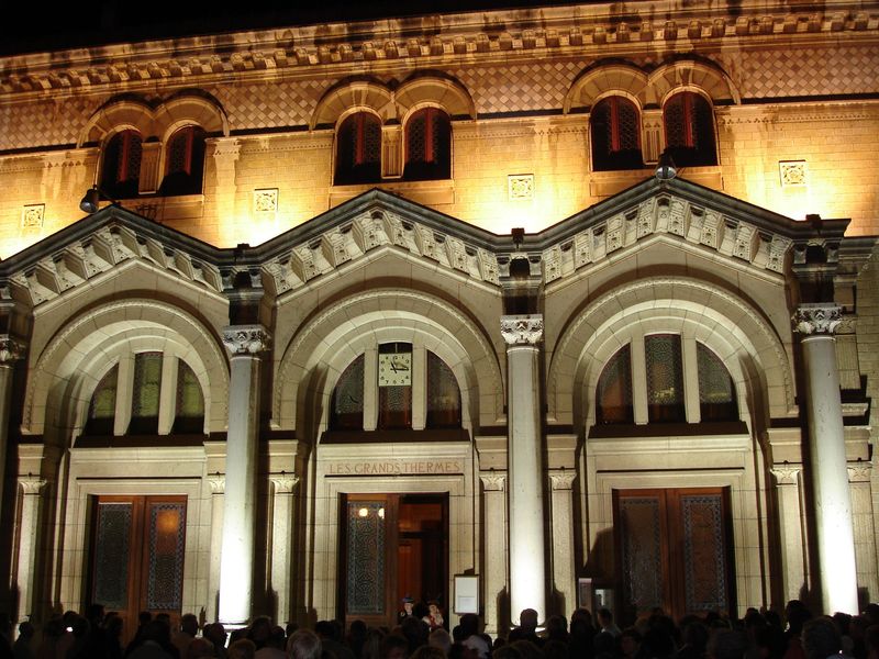
Photo credits : Pixabay
 Updated on 30 September 2026 by Office de Tourisme Terra Volcana, les Pays de Volvic