
Bertinet
Saint-Donat
 Dogs allowed
Distance 10Km
Duration 3h15
Hiking route BOUCLE
Marking Yellow
In pictures


 Visitor alert
This itinerary follows paths that are sometimes not very well marked, crossing private property almost as far as Jouvion, and after the impasse du Sac at the end of the route.
Warning : the route crosses pastures with animals. Please remain vigilant. “Modified route from Le Sac, return by road (download updated GPX track).
Route description
The Saint-Donat plateau offers some of the finest panoramic views in the region of the Sancy and Artense mountains. Glaciers have shaped a landscape of moorland, ferns and peat bogs. A must-see : the balanced rock of “La Roche Juchée”.
Trail highlights
– Fir and beech forest.
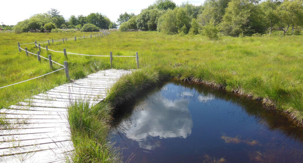
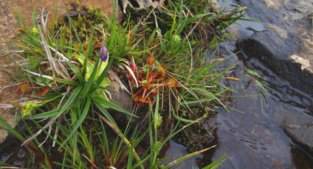
– Jouvion peat bog.
– Sensitive natural areas.
– Panorama of Puy du Sancy and Monts du Cantal.
– View of the puy du Sancy.
– Nearby : the Fontaine Salée valley (Chastreix).
Guidebook with maps/step-by-step
Step 1 : From the start sign, beside the church, follow the D88 for 200 m ; take the path on the left between the houses and follow a low-walled path. Cross a stream and a fence. Go straight on for 50 m into a pasture, then turn left through a hedge of trees (alders). Go straight up into an uncultivated field (ferns). On the level, continue straight ahead into the woods, then turn right and climb down to a stepladder.
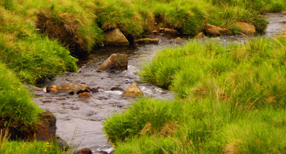
Step 2 : Cross the stepladder and continue straight ahead. Cross a stream and continue left (recent plantation) to a chicane against a fence. Turn right then, after a few metres, turn left, following a fence on your right. Pass a chicane, then a stream, and go straight up into a meadow. Cross a stepladder and continue uphill, following a right-hand fence. Cross the meadow, bending slightly to the right to reach the edge of a forest at the high point. Descend to the right at the edge of the forest, cross a stepladder and enter the forest on a wide path. Pass a stream, then another, and follow a low wall to the edge of a meadow. Further on, the path diverges from the meadow, then turns left and overhangs it. Climb to the right, cross a stepladder and, after 20 m, turn left onto a grassy path alongside a hedge. Cross the hedge and keep left until you reach a road.
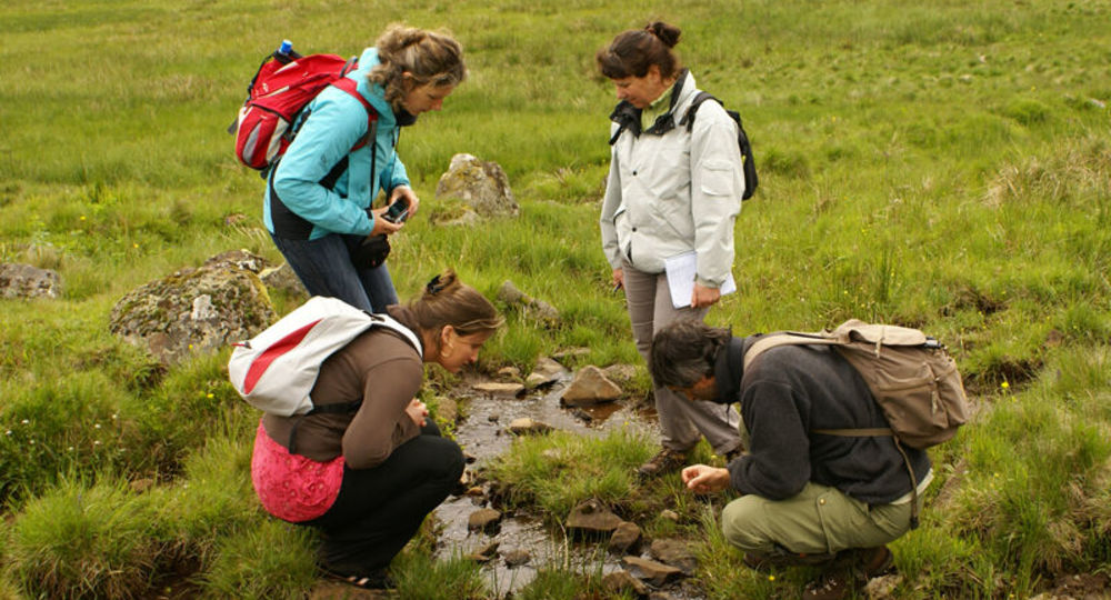
Step 3 : Turn left for 30 m and then right (ENS tourbière de Jouvion), following the fence and taking the long footbridge over the peat bog. Continue right to the next wetland (information on ENS fauna, flora and restoration). Cross the stream, go up to the right, continue on the path between low walls (two stepladders), then follow a small road to the right for 300 m. At the main road, turn right and, 100 m further on, left towards Fontlade. Continue straight ahead until you reach a road (Bertinet farm below).
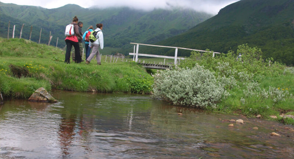
Step 4 : Turn left (panoramic view of the Sancy, Cézallier and Cantal mountains) for 1.5 km, then right onto the D88. After the bridge, turn left into impasse du Sac and after 20 m, cross the stepladder to the right. Go straight ahead and follow the fence on your left. Cross a stepladder and head for the large rock opposite. Climb to the right up to the summit rock outcrops, then descend at an angle to the left towards a clump of conifers. At the path, turn right, go down to the stream, cross it and climb back up, pulling to the right. After the rocks, cross the meadow towards a house. At the road, turn right. At the crossroads, turn left and return to the starting point.
Proposed and managed by the Conseil départemental du Puy-de-Dôme – PDIPR.
Opening hours
From 01/01 to 31/12 daily.
Subject to favorable weather.
Comfort, facilities and services
- Pets welcome
Additional information
For your own safety, always take a bottle of water, a hat, warm clothing and footwear suitable for walking.
Depending on weather conditions, certain itineraries are not recommended in bad weather (fog) or are not practicable, or even forbidden, during the winter season.
Some sites are fragile, so stay on the marked trails. Avoid picking wild flowers and disturbing wildlife. Pick up your garbage.
Animals are not allowed on some routes.
Dogs allowed Dogs must be kept on a leash due to the presence of herds.
Environment
In the country, Forest location, Presence of livestock and guard dogs
Access
From Besse-et-Saint-Anastaise (45 km south-west of Clermont-Ferrand), follow the D978 then the D203 through Picherande. Drive 3 km and turn left onto the D25 to St-Donat. Parking in front of the church.
Downloadable :
Photo credits : Conseil départemental du Puy-de-Dôme, Conseil départemental du Puy-de-Dôme, Conseil départemental du Puy-de-Dôme, Conseil départemental du Puy-de-Dôme, Conseil départemental du Puy-de-Dôme, Conseil départemental du Puy-de-Dôme – E. TEXIER, Conseil départemental du Puy-de-Dôme, Conseil départemental du Puy-de-Dôme, Conseil départemental du Puy-de-Dôme
 Updated on 29 May 2026 by Conseil départemental du Puy-de-Dôme