Stage 2 : St-Gal-sur-Sioule / St Pardoux : 20 km – 6h30
Start : At the end of the track, turn right onto the asphalt road. In the main street of Le Bourg, turn right, then immediately left (old oil mill). At “Chaux”, follow signs for “GAEC”, until you reach a(…)
Stage 2 : St-Gal-sur-Sioule / St Pardoux : 20 km – 6h30
Start : At the end of the track, turn right onto the asphalt road. In the main street of Le Bourg, turn right, then immediately left (old oil mill). At “Chaux”, follow signs for “GAEC”, until you reach a crow’s-foot (cross).
1 – Follow the left-hand road for 500 m, then take the path rising to the right until you reach the D15, continue to the right for 350 m, then continue to the right until you reach ”Machal”. At the entrance to the hamlet, turn left around the farm and follow the dirt track, ignoring the left and right paths,
In this hamlet, take the road to the right for 100 m, then go straight ahead on a dirt track. At the first crossroads, turn right (panoramic view). At the hamlet of Outre, cross the road and continue straight ahead on the dirt track as far as the Marcillat church.
2 – Continue on the main road and 300m after the village exit sign, at the cross, take the track on the left. Go straight down to the bottom of the valley, cross a stream and continue straight ahead. Cross another stream and climb up to the D15 road.
3 – Cross the road, turn right and take the Rue de la Forge on the left. Go through the village of Mathas. At the D50, go to the main crossroads 30 m ahead on the left.
4 – Go straight ahead on chemin de Landouin. Turn left at the fork, then right at the crossroads. Continue along this track, leaving a path on your right. Pass the Fontaine d’Isserteau, climb up to cross the village and continue to the D50.
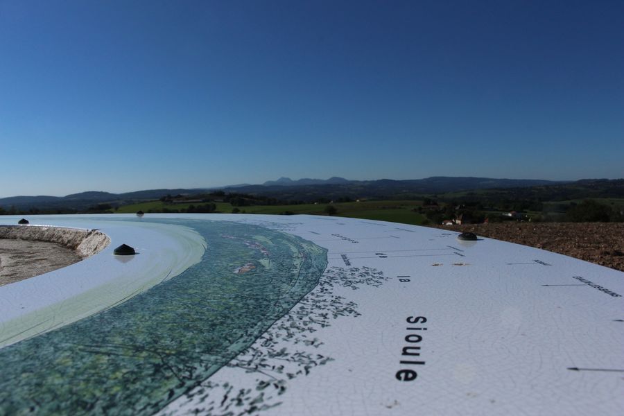
5 – Go straight ahead on the dirt track. At the crossroads, take the middle track, then fork left towards the “Table d’orientation” (360° view). Follow the track around a field to a T-junction, then turn left. At the road, turn right to reach the Saint Pardoux church.
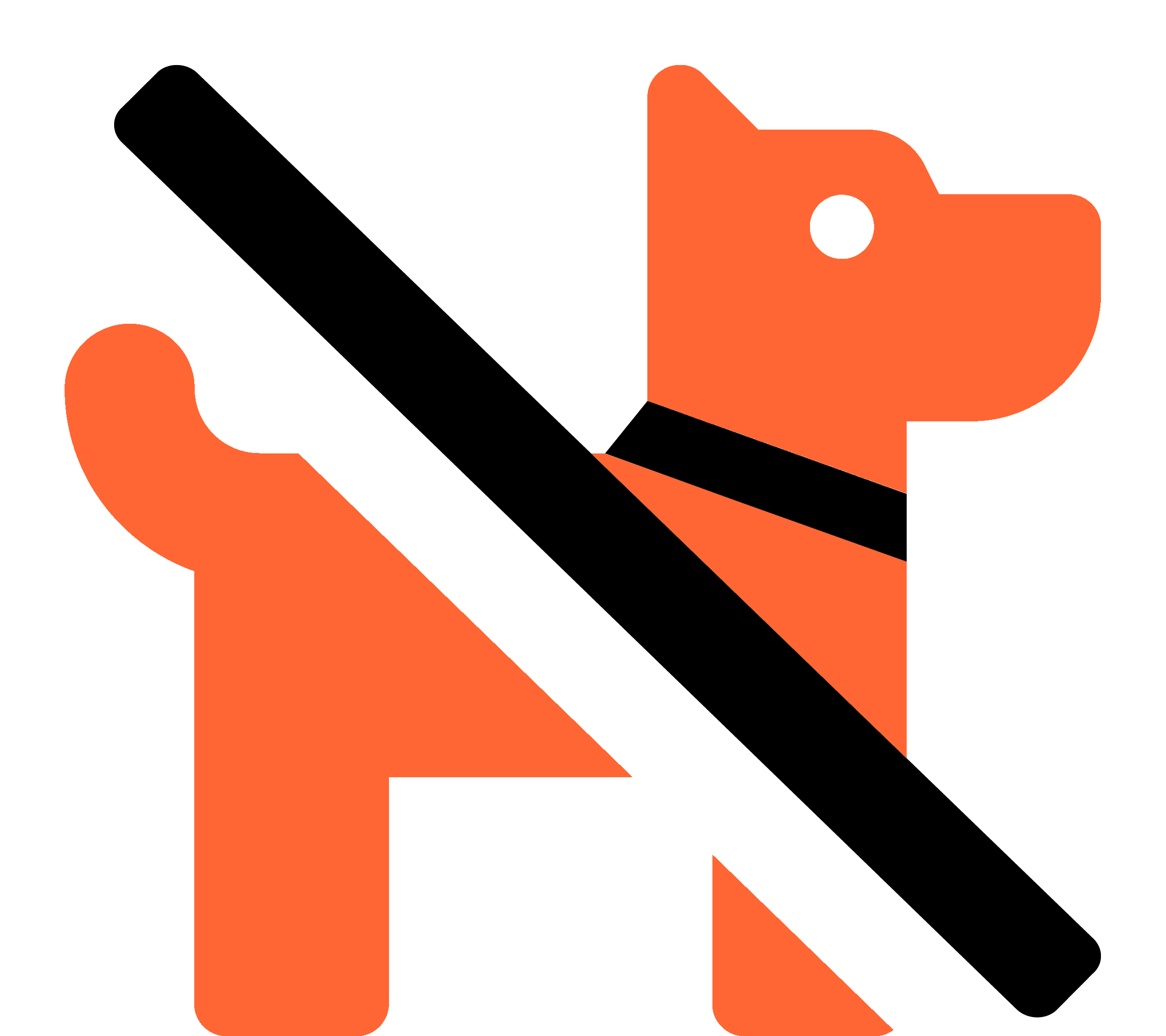 No dogs allowed