
Pardines’s lime and Perrier’s caves
Perrier
 Dogs allowed
Distance 11Km
Duration 3h30
Hiking route BOUCLE
Marking Yellow
In pictures
Route description
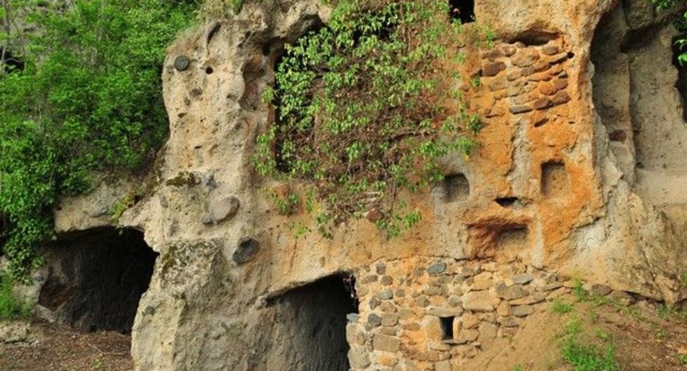
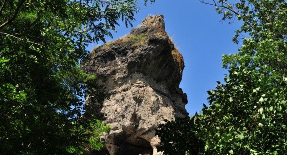
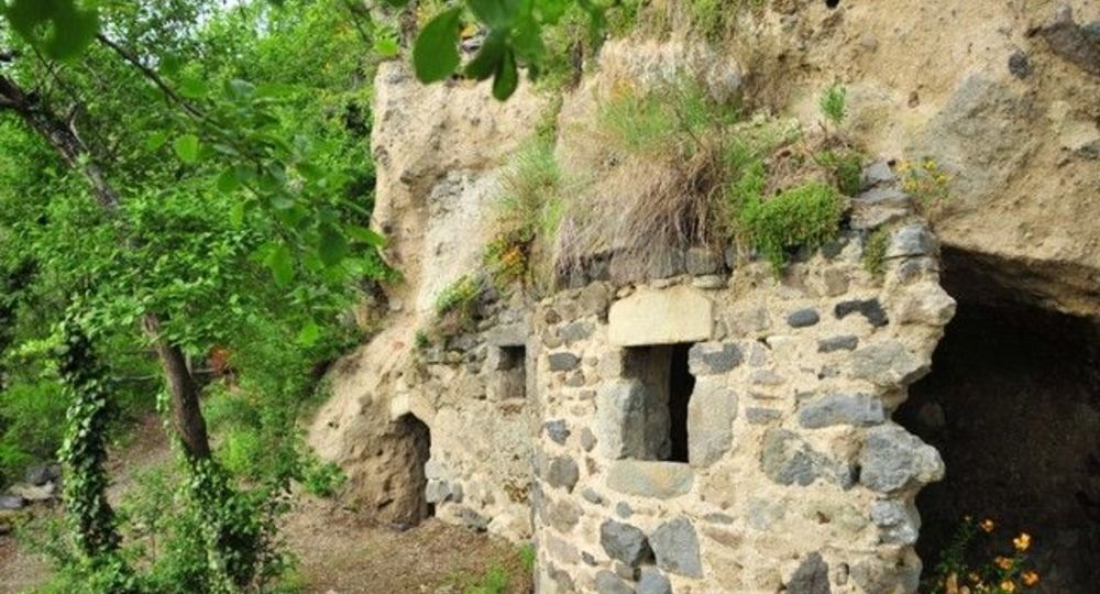
A walk on a remarkable geological site where erosion has left us spectacular shapes including fairy chimneys and offered cave dwellings to the first occupants of the site (prehistoric). One of the most spectacular sites in Auvergne.
Starting point – From the starting sign, head towards the bridge, cross the Couze Pavin, turn right at the iron cross and then turn right again to the Couze. Take the footbridge, go opposite, cross the main street and go up rue du Coudert. Cross the square (PP1 : ferryboat and(…)
Trail highlights
– Ferry and cross.
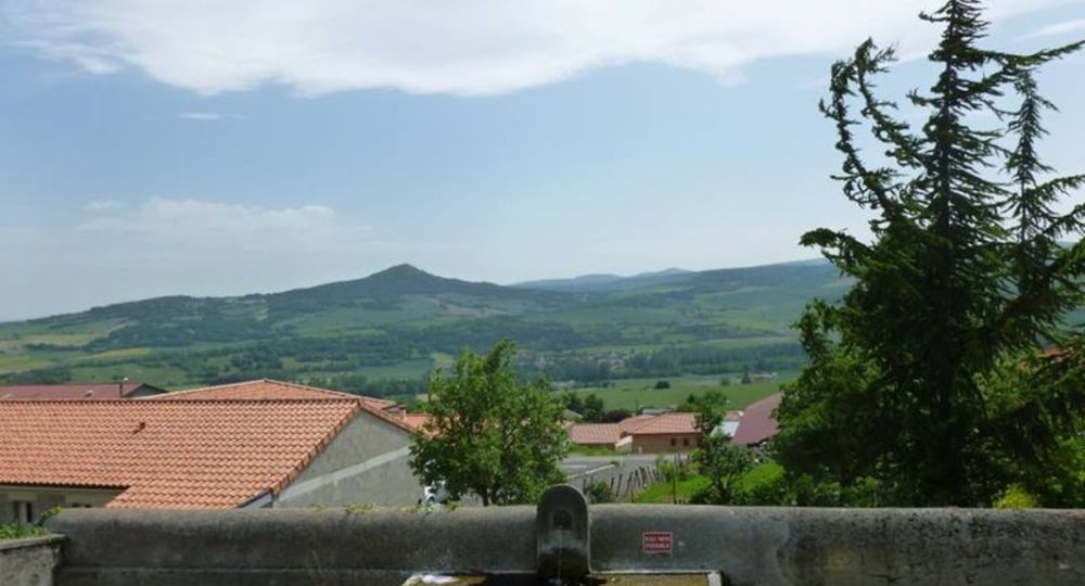
– View of the villages in the Couze-Pavin valley.
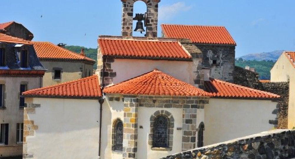
– Pardines : Romanesque church.
– Panoramic view of the Sancy massif, the Puy mountain range and the Gergovie plateau.
– Boissac castle.
– Perrier caves.
– Small heritage sites : cross, sculpture and communal oven.
Guidebook with maps/step-by-step
Step 1 : From the start sign, head for the bridge, cross the Couze Pavin, turn right at the iron cross, then right again as far as the Couze. Take the footbridge, go straight ahead, cross the main street and go up Rue du Coudert. Cross the square (PP1 : ferry and cross), continue along rue du Coudert and turn left into chemin des Triavaux. At the intersection, turn right (outcrops of coloured sediment and erosive fairy chimney shapes). Continue to the second track on the left.
Step 2 : Take this path (PV1 : view of the villages in the Couze Pavin valley). Go straight on to the village of Pardines. Cross it via rue de la Loubeyre, then place du Maréchal Ferrand and rue des Lavandières to the church (PP2 : Romanesque church).
Step 3 : Turn right up rue de la Chaux and pass the quarry on the right. Continue to the crossroads and turn left towards Boissac. Cross a crossroads and go down to the château (PP3 : château).
Step 4 : Turn right up a tarmac track, go straight on to the road, cross it and continue to the T-junction. Turn right, then left after 500 m. Leave a track on your left and continue to an intersection.
Next step
Step 5 : Turn left along the edge of the plateau (PV2 : wide panorama). Ignore the track on the left at the cross, and continue to the crossroads.
Step 6 : Take the right-hand path downhill. After a few twists and turns, skirt the site of Les Grottes (PP4 : village des Roches). In chemin des Grottes, turn left (PP5 : four banal and shoeing loom), then right into rue des Grottes, cross the main street and reach the parking lot under the church.
Proposed and managed by the Conseil départemental du Puy-de-Dôme – PDIPR.
Opening hours
From 01/01 to 31/12 daily.
Subject to favorable weather.
Comfort, facilities and services
- Pets welcome
Additional information
For your own safety, always take a bottle of water, a hat, warm clothing and footwear suitable for walking.
Depending on weather conditions, certain itineraries are not recommended in bad weather (fog) or are not practicable, or even forbidden, during the winter season.
Some sites are fragile, so stay on the marked trails. Avoid picking wild flowers and disturbing wildlife. Pick up your garbage.
Animals are not allowed on some routes.
Dogs allowed Dogs must be kept on a leash due to the presence of herds.
Environment
Mountain view, Troglodyte site, Presence of livestock and guard dogs
Access
In Perrier, on the D996 from Issoire or Champeix.
Downloadable :
Photo credits : Conseil départemental du Puy-de-Dôme, Conseil départemental du Puy-de-Dôme, Conseil départemental du Puy-de-Dôme – N. Dutranoy, Conseil départemental du Puy-de-Dôme – N. Dutranoy, Conseil départemental du Puy-de-Dôme
 Updated on 29 May 2026 by Conseil départemental du Puy-de-Dôme