
Chez Sagoueix
Teilhet
 Dogs allowed
Distance 11.5Km
Duration 3h30
Hiking route BOUCLE
Marking Yellow
In pictures
Route description
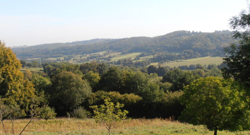
This route winds its way through woodland and meadows in the plateau and dale landscapes characteristic of the Combrailles region. There are lovely views over the Saint-Eloy-les-Mines coalfield, the Chaîne des Puys and the Sancy.
Trail highlights
– Panorama from the Banne d’Ordanche to the Bois Noirs.
– Views over Saint-Eloy-les-Mines and the Bouble valley
Guidebook with maps/step-by-step
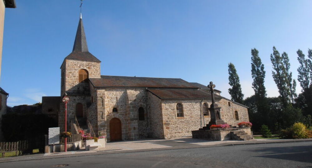
Step 1 : From the town hall, walk past the cemetery and continue along the tarmac road to the bottom of the valley. Go straight ahead and, at the first farm in La Rodde, turn left. At the next crossroads in the hamlet, turn right onto a large farm track leading down to a fork.
Step 2 : Turn right at the edge of the forest. Take the road to the left, then cross the D110 and follow the road opposite to Maison Rouge, crossing the railroad line.
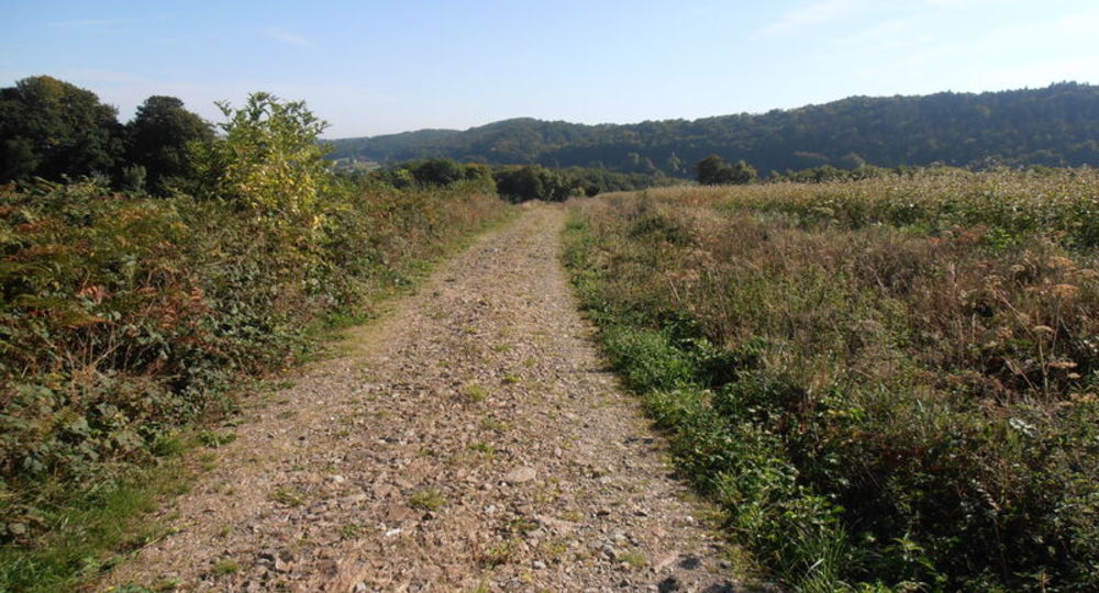
Step 3 : Continue along the asphalt road to Chez Sagouix. In the hamlet, turn right twice. At a fork in the road, turn right and follow a wide track for 600 m. Turn left onto a damp grassy path. At the end of the wood, continue straight ahead until you reach a crossroads in a clearing.
Step 4 : Turn left and, after 100 m, at a fork (“Cote 735 m”), turn left onto a wide track. At a fork in the road, continue along the ridgeline (at 100 m, viewpoint no.1 : panorama from Banne d’Ordanche to Bois Noirs). A little further down, after a large bend, at a new house, take the road to the right (viewpoint no. 2 : view of Saint-Eloy-les-Mines and the Bouble valley). At Mazerolles, cross the disused railroad line and then the road.
Next step
Step 5 : Go straight ahead on the tarmac road, past a farm building, and continue on the track until you reach a crossroads. Turn right. At the next junction, turn left to rejoin the path you followed on the outward journey, cross La Rodde and return to the start.
Proposed and managed by the Conseil départemental du Puy-de-Dôme – PDIPR.
Opening hours
All year round daily.
Subject to favorable weather.
Comfort, facilities and services
- Pets welcome
Additional information
For your own safety, always take a bottle of water, a hat, warm clothing and footwear suitable for walking.
Depending on weather conditions, certain itineraries are not recommended in bad weather (fog) or are not practicable, or even forbidden, during the winter season.
Some sites are fragile, so stay on the marked trails. Avoid picking wild flowers and disturbing wildlife. Pick up your garbage.
Animals are not allowed on some routes.
Dogs allowed Dogs must be kept on a leash due to the presence of herds.
Environment
Presence of livestock and guard dogs
Access
From Menat (56 km north of Clermont-Ferrand) on the D2144, follow the D18 to Teilhet.
Parking and start sign by the town hall.
Photo credits : Office de Tourisme des Combrailles, Office de Tourisme des Combrailles, Office de Tourisme des Combrailles
 Updated on 29 May 2026 by Conseil départemental du Puy-de-Dôme