
Circuit d’Orcival au Guéry – Volcanoes and architecture (cyclo loop n°12)
Rochefort-Montagne
 No dogs allowed
Distance 75Km
Duration 3h45
Hiking route BOUCLE
Marking Green
In pictures
Route description
This route takes you through the Sancy Massif and part of the Combrailles…
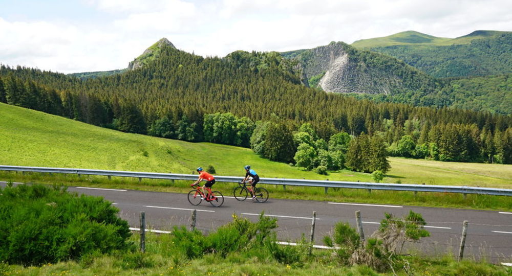
You’ll set off from Rochefort-Montagne along a winding road between the Tuilière and Sanadoire rocks, the remains of the cone of the same volcano.
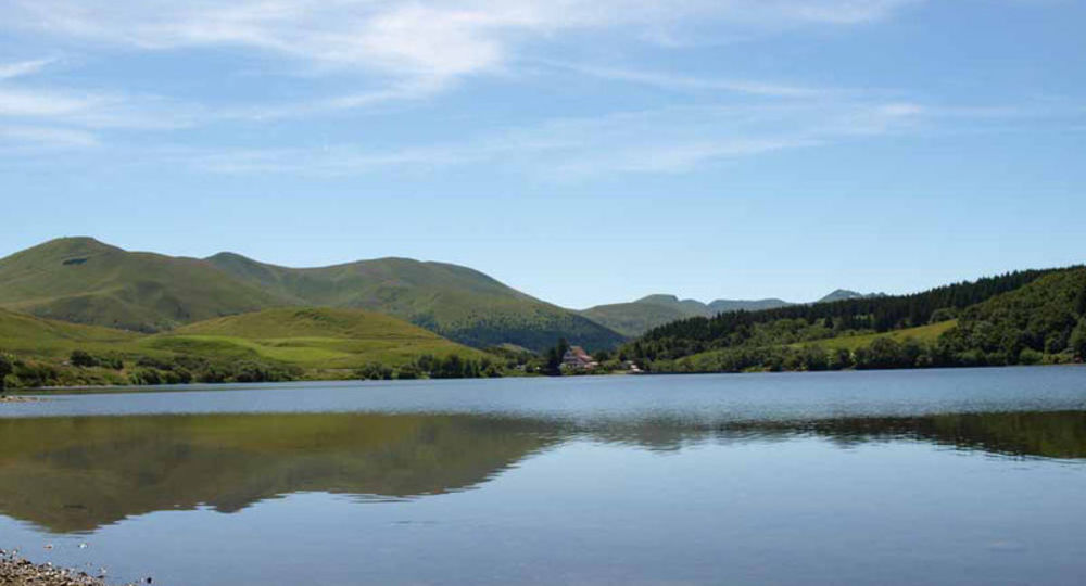
You continue towards the Col du Guéry (1264 m) and can take a break on the banks of the Lac du Guéry to observe a(…)
Trail highlights
– Rochefort-Montagne.
– The Tuilière and Sanadoire rocks.
– The Guéry pass.
– The Lac du Guéry.
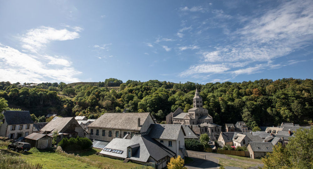
– Orcival and its Romanesque church.
– Cordes castle.
Guidebook with maps/step-by-step
Step 1 : You’ll set off from Rochefort-Montagne along a winding road between the Tuilière and Sanadoire rocks, remnants of the cone of a single volcano.
Step 2 : You continue towards the Col du Guéry (1264 m) and can stop off at the edge of the Lac du Guéry to observe a most remarkable natural setting.
Step 3 : Continue on to Orcival, a town on the Romanesque art route, with its Romanesque basilica nestling in the Sioulot valley.
Near Orcival, make a detour to visit the Château de Cordes, with its flowerbeds designed by Le Nôtre.
Step 4 : The rest of the route takes you to Saint-Bonnet-près-Orcival, Saint-Pierre-Roche, Cisternes-la-Forêt and Heume-l’Église before reaching Rochefort-Montagne.
Approx. 3 h 45 min. at an average speed of 20 km/h.
Opening hours
All year round daily.
Additional information
For your own safety, check that your bike is in good working order (tires/brakes) and take the necessary repair kit, take a refill (water and food), encourage a little development and pedal smoothly.
Environment
Lake view, Mountain view, Mountain location, Lake -5km away
Downloadable :
Photo credits : Office de tourisme Auvergne VolcanSancy, M.Mussard / Auvergne VolcanSancy, Conseil départemental du Puy-de-Dôme
 Updated on 31 March 2025 by Conseil départemental du Puy-de-Dôme