![]()
Circuit des Combrailles – Around the lake at Les Fades-Besserve (cyclo loop n°1)
Les Ancizes-Comps
 No dogs allowed
Distance 47Km
Duration 3h30
Hiking route BOUCLE
Marking Green
In pictures
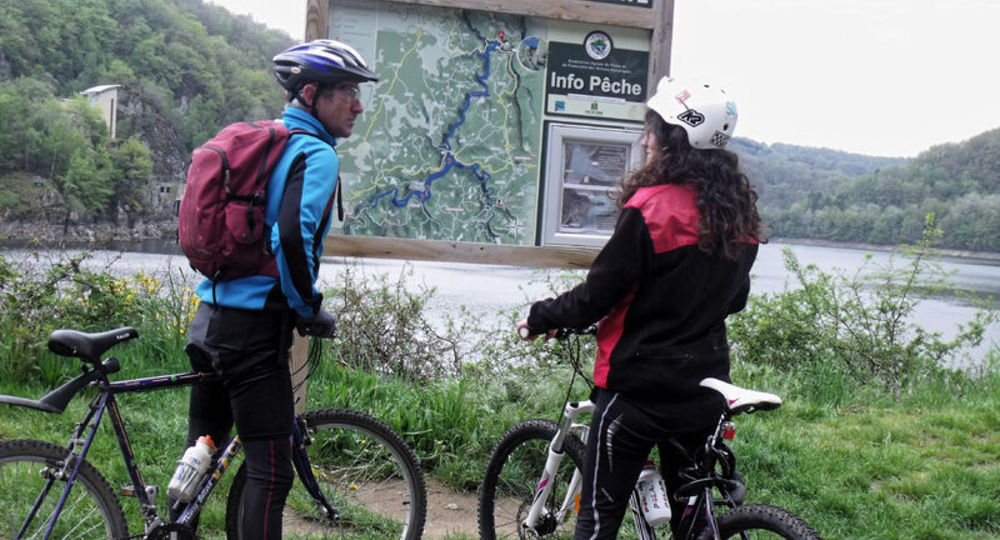
Route description
The Combrailles stretch across a vast granite plateau where water is everywhere.
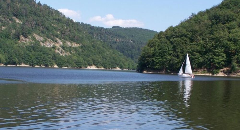
This 47 km trail around the Fades-Besserve reservoir (400 ha) is all about water, the river Sioule flowing through deep gorges and winding meanders.
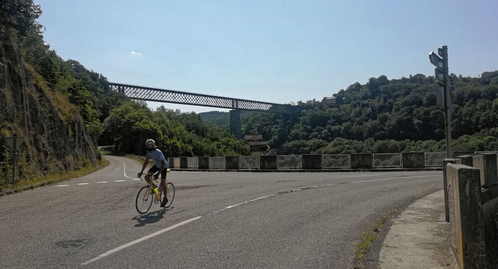
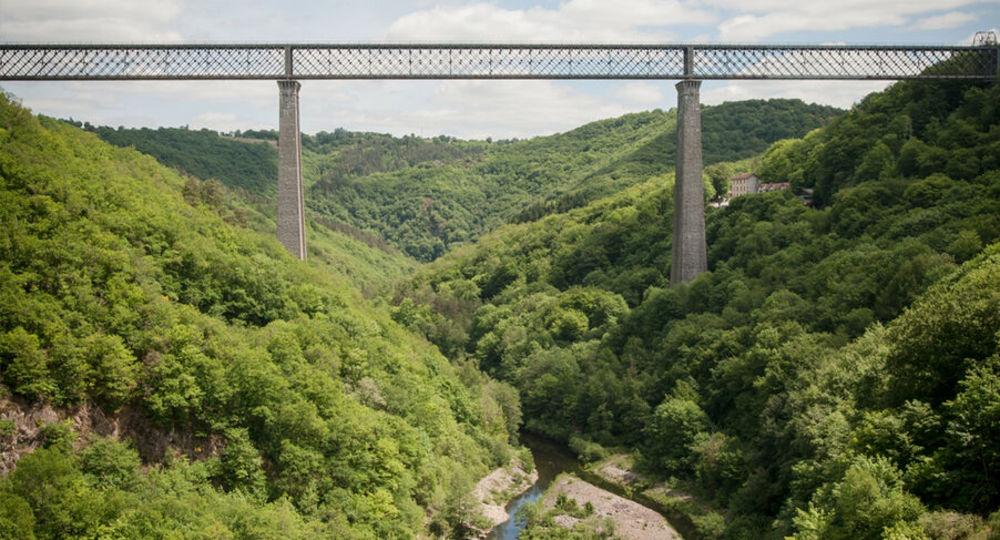
From Les Ancizes, you’ll cross the reservoir to Les Fades, where you’ll see the highest railway viaduct in Europe, rising 133 m above the Sioule.
Trail highlights
– The Sioule river.
– The Fades dam and viaduct.
– The Sioule valley, where the Fades-Besserve lake (400 hectares) is located, has 15 kilometres of banks between the renowned sites of the Chartreuse de Port-Sainte-Marie and the Fades viaduct.
/* col-6_sm-12 */ ?>
Opening hours
All year round daily.
Additional information
For your own safety, check that your bike is in good working order (tires/brakes) and take the necessary repair kit, take a refill (water and food), encourage a little development and pedal smoothly.
Environment
Lake view, Mountain view
Downloadable :
Photo credits : OT Combrailles, Conseil départemental du Puy-de-Dôme, Conseil départemental du Puy-de-Dôme, OT Combrailles