
Heritage trail
Luzillat
 No dogs allowed
Distance 9Km
Duration 2h30
Hiking route BOUCLE
Marking Yellow markings
In pictures


Route description
Start at Rue des Gascons – Montgacon. From Aigueperse, follow Thuret and Maringues on the D12, then Montgacon on the D55. Start near the municipal building.
Guidebook with maps/step-by-step
Step 1 : Start at Rue des Gascons in Montgacon. Opposite the start sign, take the left-hand path alongside the farm and go downhill (view of the Limagne plain). Take the road to the right, then turn left into Rue des Coutans. Cross Villard to the crossroads (old well on the right).
Step 2 : Go straight ahead and climb up. At the crow’s-foot, turn right (cross, picnic area), then downhill on the main path (ignoring the side paths), to a crossroads 200 m from the houses of a hamlet. Climb to the left. On the flat (view of the Madeleine, Forez and Livradois mountains). At the first crossroads, go right (wash-house dating from 1875) and join the road in Vendègre.
Step 3 : Turn right and, at the D55/D94 junction (bread oven, cross), follow the D94 towards Luzillat. Go through Les Garmins (pigeon lofts on right and left) and turn right onto the small road. After 300 m, fork left onto a track, then right. Cross a road at Villeret and turn left. At the road, continue on the track opposite and turn left down to the road in La Barbine (bread oven, wash-house, cross).
Step 4 : Turn right and take the first track on the right. At the fork in the road, keep right and take the crossroads to the left. At the crossroads, go up to the right, pass under the water tower (view of the Chaîne des Puys and Limagne) and go right to go around the hill and back to the starting point.
Opening hours
All year round daily.
Environment
In the country, Village centre
Downloadable :
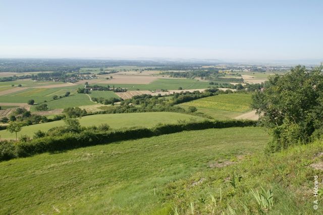
Photo credits : Plaine Limagne, Plaine Limagne, Plaine Limagne
 Updated on 18 December 2025 by Office de Tourisme Terra Volcana, les Pays de Volvic