
Ambène flow
Enval
 Dogs allowed
Distance 17.6Km
Duration 8h00
Hiking route ALLER_RETOUR
Marking beacon with white background and brown hiker
In pictures


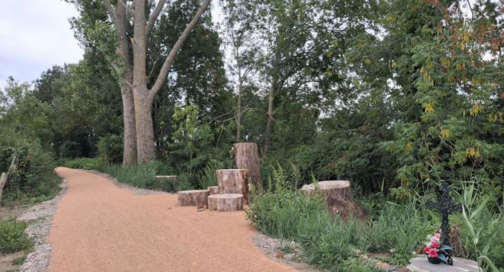
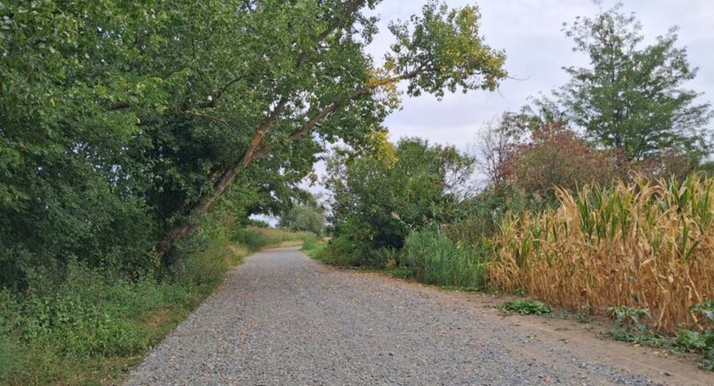
Route description
A shared, low-impact trail that runs along the Ambène River through the towns of Enval, Mozac, Riom, Clerlande, and Ennezat.
The Ambène (whose name comes from the Gallic word amba, meaning little river) rises on a granite plateau at an altitude of around 800 m, at the foot of the Roche-de-Sauterre (977 m) in the commune of Manzat. The river is 30.32 kilometers long. A tributary of the Bédat, it(…)
Guidebook with maps/step-by-step
Step 1 : Start from the Gorges d’Enval parking lot, heading towards the village along the route départementale 15.
Step 2 : Turn left down the slope after the guardrail, passing the Maison Maupassant. Continue along rue des Gorges to place Marcel Morge.
Step 3 : At the end of the parking spaces, take the path along the river below the road, cross Avenue du Stade, go over the wooden footbridge, cross the gardens, turn right, reach the bridge on Rue des Graviers and take the path along the Ambène as far as the gate with the chain.
Step 4 : Turn right, then left at the next junction, straight ahead until you reach the level crossing and pedestrian crossing (CAUTION : do not cross the road), turn left and go up to the roundabout to the north. Cross the D446 at the roundabout, then take the path on the right. Go back down to the level crossing, cross the railroad and turn left (twice). Continue along the railroad, past the conservatory orchard and follow the Ambène corridor to rue Louis Aragon after the ESAT. Continue to avenue Jean Jaurès (busy road + bar-restaurant).
Next step
Step 5 : Cross avenue Jean Jaurès, past the Maison de la Nature et de l’Environnement (former Carmel). Cross avenue Louis Dalmas, along the sports complex parking lot. Cross avenue Léo Lagrange (watch out for traffic), cross Parc de l’Abbaye.
Step 6 : After the wooden gate, turn left, then immediately right into the narrow lane. Continue along the Ambène. Turn right at the parking spaces. Cross the bridge and turn left. Cross the footbridge, pass the lock and follow the path to the next bridge on the left. Pass under the railroad line. When you reach the road, turn left.
Step 7 : At the florist’s square, keep to the right, cross in the direction of the hospital, walk past it and turn right. On the bridge over the river, turn left towards the vegetable gardens and running track. Pass Parc Dumoulin, then turn right, then left, towards the SNCF station. At the station parking lot, turn right and walk under the railroad tracks.
Step 8 : Walk up the central alley of the parking lot to rue de l’Ambène. Turn right, along the parking lot with the photovoltaic panels. Take rue Pierre Favard up the hill. When you reach the D224, turn left. At the parking spaces, turn right and follow the sandy path to the portes de Riom roundabout.
Step 9 : At the roundabout, turn left at the restaurant. At the fitness center, turn right, go under the ring-road bridge and at the level crossing, cross the railroad line and continue straight ahead. Watch out for the anti-vehicle device. Follow the lane, pass under the freeway bridge, leaving the old Moulin de Pessat on your left, and continue to the departmental road. Turn right, go over the level crossing, change lanes, go over the lower left-hand side to join the track below, still heading in the same direction. At the bridge, turn left onto the prepared path. Continue past the farm to the sports complex.
Opening hours
All year round daily.
Comfort, facilities and services
- Parking nearby
- Pets welcome
Dogs allowed on a leash
Environment
Riverside, Waterside
Photo credits : RLV, RLV, RLV, RLV
 Updated on 5 August 2026 by Office de Tourisme Terra Volcana, les Pays de Volvic