
From Charbonnières to Facemeunier
Charbonnières-les-Varennes
 No dogs allowed
Distance 6.8Km
Hiking route BOUCLE
Marking Yellow markings
In pictures
Route description
Departure point : Salle Desaix – From Riom, take the D446 towards Enval, then the D138. On leaving Enval, go straight on towards Centre Clémentel. In Charbonnières, after the cemetery, park on the left.
Guidebook with maps/step-by-step
Step 1 : Start at Salle Desaix. With your back to the hall, walk along the stream. At the crossroads, turn right. Pass the river, then the Cross, and turn left at the next crossroads, then left again at the next one.
Step 2 : At Facemeunier, drive along the children’s play area, then turn right. Pass Félix’s workshop. At the T-junction, turn right, then left at the next junction (panoramic view of the puy de Montaclier and the Limagne plain).
Step 3 : At the crossroads, turn right onto the GR 441. On the straight, leave the GR and turn left, then right.
Step 4 : At the châlet à la Védrine, turn right towards the Saint-Priest cross. At the cross, turn left downhill to Charbonnières-les-Varennes.
Next step
Step 5 : After the bridge, turn right immediately along the river to Moulin d’Edmond. Follow the path up towards the town center. Turn right towards the Romanesque church and continue as far as the Salle Desaix.
Opening hours
All year round daily.
Comfort, facilities and services
- Play area
Environment
Riverside, Close to GR footpath, Waterside, In the country
Downloadable :
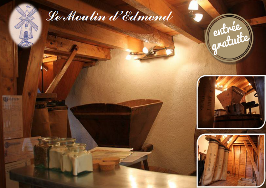
Photo credits : Pixabay
 Updated on 18 December 2025 by Office de Tourisme Terra Volcana, les Pays de Volvic