
Between Allier and puy Saint-Romain
Saint-Maurice
 Dogs allowed
Distance 10Km
Duration 2h00
Hiking route BOUCLE
Marking Yellow
In pictures
Route description
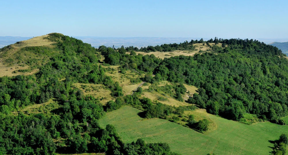
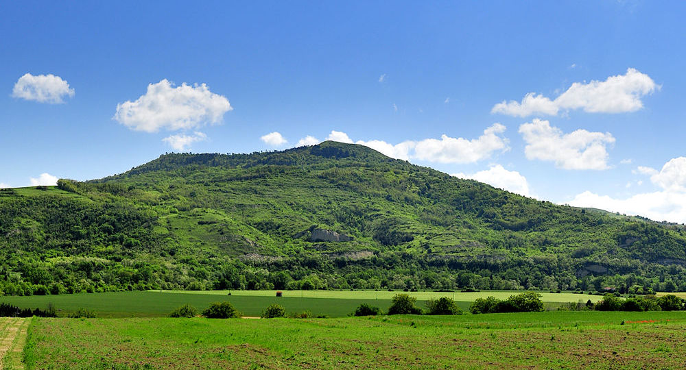
Culminating at 781 meters, the puy Saint-Romain is the highest point on the banks of the Limagne, offering superb 360° views. It’s also a famous historical site, with a priory and chapel surrounded by a field of Merovingian burials.
Trail highlights
– Puy Saint-Romain.
– 360° viewpoint with orientation table.
Guidebook with maps/step-by-step
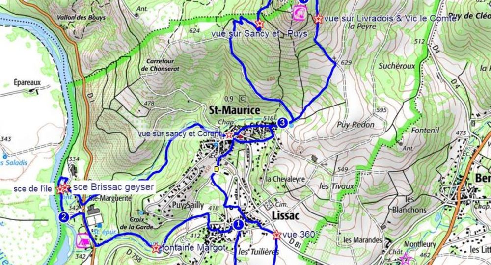
Step 1 : Turn left into “Rue du Four”, then “Rue de la Plagne” and immediately right into “Rue Vieille”. At the road, cross over to Chemin des Chanvres. At the end, turn left and, at the crossroads, go down the track opposite (“Fontaine Margot” at the bottom of the track). Continue straight ahead until you reach the road. Follow the road to the right for 250 m. At the bottling plant, cross the road and go straight on to the Allier.
Step 2 : Follow the river for approx. 300m (Source de l’Ile), then turn right onto a small path to follow the “Sentier du Geyser” (information panel). Continue along this path between fences (Source Brissac : Geyser), join a tarmac road and return to the road. Cross the road to take the path to the left of the factory. Leave the paths on the right as you climb. When you reach the village, follow the road to the right for 15 m, then fork left onto a path. At the T, turn left, then immediately right to reach the Place de la Halle (view of the Sancy). Take “Impasse des Forts”, go around the church to reach the “Grande Fontaine”. Turn left onto “Rue de Saint Romain” and follow it to a fork in the road (signposted Puy Saint Romain).
Step 3 : Go left and, at the fork, take the path on the left. At 600m, go right up a stony path. The path gradually becomes grassy (view of the Sancy and the Chaîne des Puys). Ignore a track on the left and continue into a coniferous wood. At the intersection with the “Puy Saint Romain forest” trail, turn right. At the end of the wood, turn right onto a path (right at the summit, 200m).
Step 4 : Go left downhill (view of Livradois and Vic le Comte) for 800m. At the crossroads, turn right to the village entrance (point 3). Continue straight ahead on rue Saint Romain. Turn left into “Rue de Puy Redon”, then right down the steps into “Rue de la Combe”. At the “Cédez le passage” sign, turn right onto the road. At the war memorial, take the 2nd left onto “Rue de la Place”. After the stairs, turn right. At the “Stop” sign, cross the road into “Chemin du Port” and return to the start.
Proposed and managed by the Conseil départemental du Puy-de-Dôme – PDIPR.
Opening hours
From 01/01 to 31/12 daily.
Subject to favorable weather.
Comfort, facilities and services
- Pets welcome
Additional information
For your own safety, always take a bottle of water, a hat, warm clothing and footwear suitable for walking.
Depending on weather conditions, certain itineraries are not recommended in bad weather (fog) or are not practicable, or even forbidden, during the winter season.
Some sites are fragile, so stay on the marked trails. Avoid picking wild flowers and disturbing wildlife. Pick up your garbage.
Animals are not allowed on some routes.
Dogs allowed Dogs must be kept on a leash due to the presence of herds.
Environment
In the country, Forest location, Mountain view, Presence of livestock and guard dogs
Access
Reach Saint-Maurice-ès-Allier, 23 km southeast of Clermont-Ferrand. On the D1, between Sainte-Marguerite and Longues, take the D758 towards Saint-Maurice. In Saint-Maurice, from the start sign, go down “Chemin du Port”.
Photo credits : Henri Derus, Henri Derus, Conseil départemental du Puy-de-Dôme
 Updated on 29 May 2026 by Conseil départemental du Puy-de-Dôme