
Between moat and dovecotes
Saint-Germain-Lembron
 Dogs allowed
Distance 10Km
Duration 2h45
Hiking route BOUCLE
Marking Yellow
In pictures
Route description
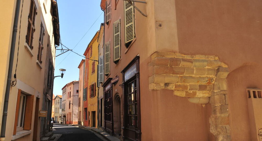
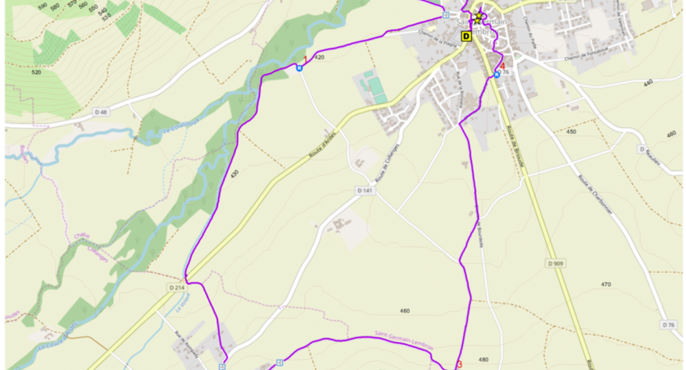
The trail follows the banks of a couze river, rising gently over the orchards of the Collanges hills. Stroll through the maze of streets in old Saint-Germain-Lembron and Collanges, discovering evidence of their medieval past.
Guidebook with maps/step-by-step
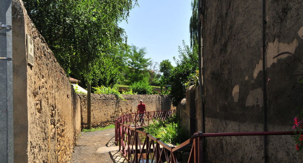
Step 1 : From the start sign, walk past the bar. At the junction of the D909 and D214, turn left into rue Antoine Porte. At the second street, turn left into rue du Vieux Moulin, then right after 50 m into chemin du Béal. Continue straight ahead between the walls and turn left at the second path, level with the gate. Continue between the walls to reach the park. Turn right through the park. At the exit, continue left between the walls. At the cemetery entrance, turn right onto the tarmac road, then right again onto the Chemin de la Plagne (PV1 : view of Chalus castle). Continue between wall and stream to intersection. Turn right, leaving the first track on the left, and continue straight on to the T-junction adjacent to the stables.
Step 2 : Turn right. At the intersection, take the leftmost path, cross the river and pass a dovecote. At the next intersection (dovecote in sight), go straight ahead on the grassy track opposite the village of Collanges ; continue until you reach the D214 road. Cross it, then 10 m further on, at the fork in the road, keep left and climb up to Collanges village. At the road (D141), turn right, then left into the village along the Grand Rue to the fork.
Step 3 : Turn left into Rue du Château, then quickly leave it to turn right into Rue du Montcelet. At the double fountain (PP1 : building and garden), turn left and follow the château grounds (PP2 : building with dome within the château grounds). At the end of the street, at the shoe loom, turn right into rue du château (PV2 : view of Bard, Pic de l’Avoiron, côtes de Boudes and Chalus) (PP3 : château de Collanges and church). Continue straight ahead, leaving the small rue de l’église on your right. At the next intersection, at the cross (PV3 : view of Nonette and Usson peaks), go straight ahead on the main road to the farm.
Step 4 : Go downhill to the left, leaving the first track to the right, then 250 m further on, continue on the right-hand track. At the next crossroads, turn left at the house. At the crossroads, turn right onto chemin de la Ronzière and climb up to the crossroads with the D909. Cross the road and continue straight ahead for 25 m to rue du Moncelet.
Next step
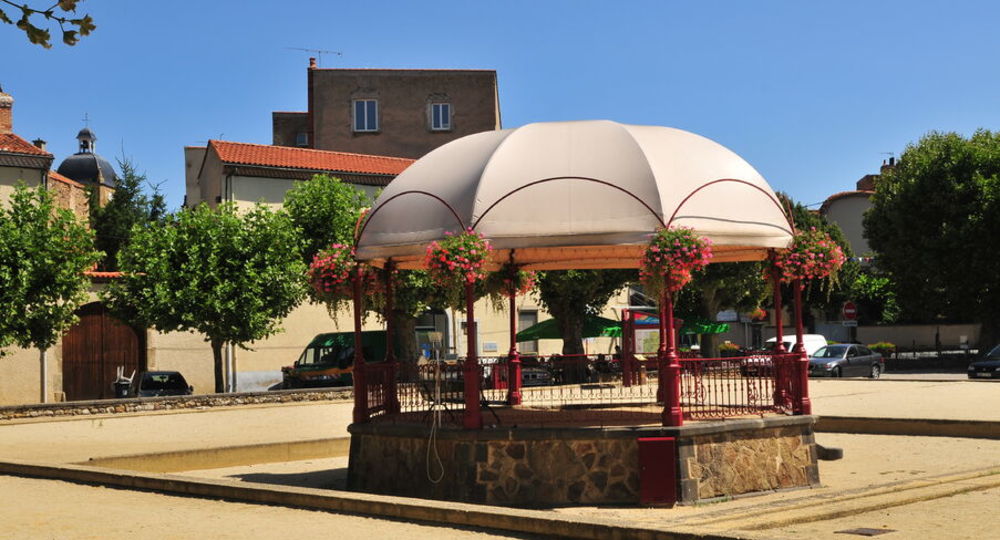
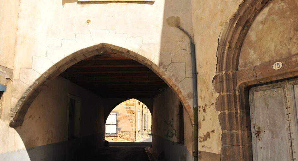
Step 5 : Turn left, then successively left into rue de la Tournelle, right into rue des Remparts, cross place du Seuil then, after a right turn, left into rue Haute des Jardiniers, and left again into place des Jardiniers (fountain). Continue right, then left to Place Saint-Jean (fountain). Take rue St Jean leading to the church, and walk around it to the right. Turn left into rue Neuve, then left into the arched alleyway (PP4 : church, town house). Go around the church to the right, then turn right (PP5 : maison du Lembron). At the D909 road, turn left to return to the starting point.
Proposed and managed by the Conseil départemental du Puy-de-Dôme – PDIPR.
Opening hours
From 01/01 to 31/12 daily.
Subject to favorable weather.
Comfort, facilities and services
- Pets welcome
Additional information
For your own safety, always take a bottle of water, a hat, warm clothing and footwear suitable for walking.
Depending on weather conditions, certain itineraries are not recommended in bad weather (fog) or are not practicable, or even forbidden, during the winter season.
Some sites are fragile, so stay on the marked trails. Avoid picking wild flowers and disturbing wildlife. Pick up your garbage.
Animals are not allowed on some routes.
Dogs allowed Pets allowed on leash only.
Environment
Mountain location
Access
How to get there : From the A75 freeway, exit 17, continue to Place du Désert in Saint-Germain-Lembron.
Downloadable :
Photo credits : PAH – Norbert Dutranoy, PAH – Norbert Dutranoy, PAH – Norbert Dutranoy, PAH – Norbert Dutranoy, Conseil départemental du Puy-de-Dôme
 Updated on 29 May 2026 by Conseil départemental du Puy-de-Dôme