
Between the Sep and Morge rivers
Saint-Hilaire-la-Croix
 Dogs allowed
Distance 14.5Km
Duration 4h00
Hiking route BOUCLE
Marking Green
In pictures
Route description
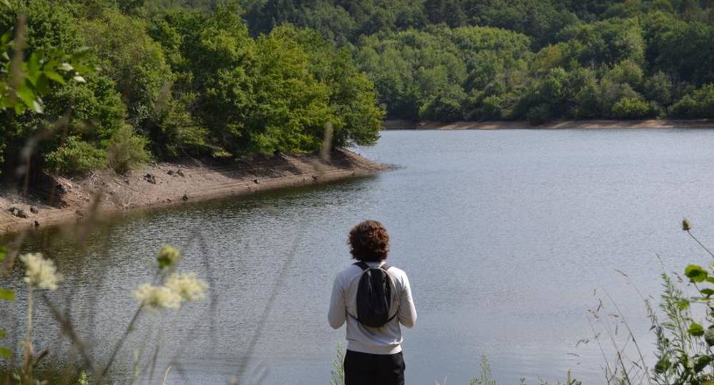
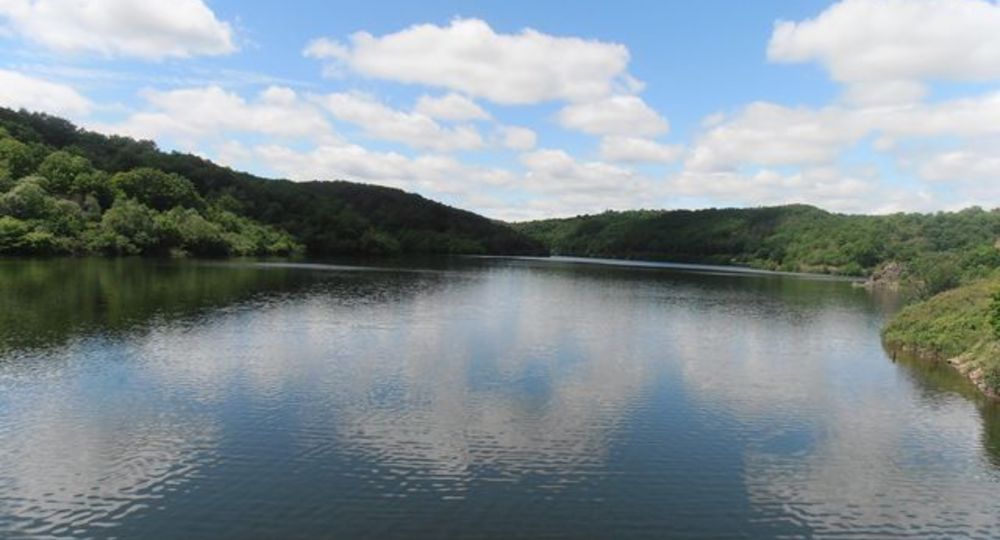
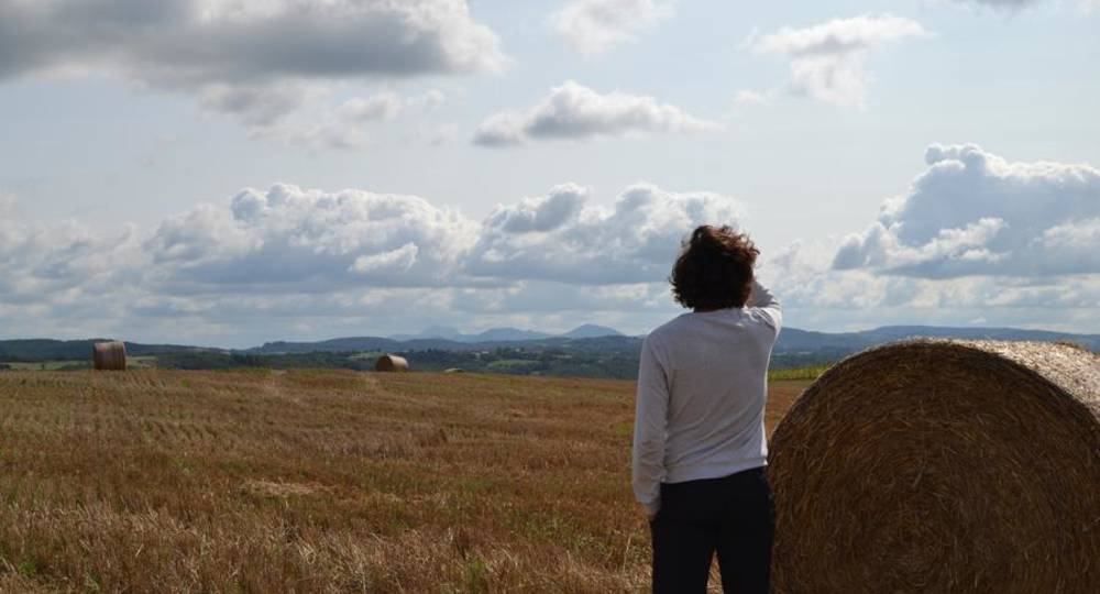
This route from Saint-Hilaire-la-Croix, with its Romanesque church and 12th-century priory, offers sweeping views over the Allier valley and the Monts de la Madeleine. Many crosses dot the route, which runs alongside the Sep dam.
Trail highlights
– 12th-century church and priory.
– Sep dam.
– River La Morge.
– Cross of Saint Priest, patron saint of Montcel (1898).
– View of the Allier valley and the Monts de la Madeleine.
– Lapierre cross (1874).
– Iron cross known as ‘de Jacques’ (1573).
Guidebook with maps/step-by-step
Step 1 : From the start sign at the entrance to the parking lot (12th-century church and priory), take the D406 road passing on the left-hand side of the “école enfantine”. Follow this road for 1 km. At the top of a hill, turn right onto a track which, after 500 m, crosses a road. Go straight ahead and downhill until you come to a crossroads with several PR roads, in sight of the reservoir. Continue on the left-hand track overhanging the reservoir, as far as the Sep dam.
Step 2 : Cross the dam and take the left-hand path (barrier) down to the river. Turn right (barrier) onto the flat track. At Moulin Josse, turn right onto the road (D122) for 150 m. Take the first track on the left, which crosses the Morge by a footbridge, climbs up into the forest and leads to the plateau. Continue straight ahead to reach the hamlet of La Tour Serviat. The path becomes a tarmac lane and leads to the D408 road.
Step 3 : Turn left, then left again at the fork (cross). After 150 m, turn right onto a track. At the T-junction, turn right, then immediately left. After the cross (cross of Saint Priest, patron saint of Montcel, 1898), the path becomes grassy and descends through meadows (with a wide view of the Allier valley and the Monts de la Madeleine) and then into the woods. Turn right onto the D408 for 400 m, then right down a track which cuts two bends in the road and joins the road in the village of Montcel. Continue straight downhill, past the town hall and church, to the crossroads below. Choose the route de Jozerand (D408). In the hamlet of Les Chanteaux, leave the road at the hairpin bend and take the path opposite. Reach the D122 at Pont de Montcel.
Step 4 : Turn left and, at the crossroads after the bridge over the Morge, go straight on. At the first intersection, 100 m ahead, turn left onto a track which you follow for 2 km. At the crossroads on the plateau, turn right onto the grassy path that leads down to the Rioux stream, follow it for 50 m, cross it (footbridge) and reach a small road. Follow this road, passing through the hamlet of La Rochette, then Les Bajaris. Continue (Lapierre cross, 1874) to Saint-Hilaire-La-Croix. At the iron cross, turn left and pass the “Jacques” cross (1573) to return to the starting point.
Proposed and managed by the Conseil départemental du Puy-de-Dôme – PDIPR.
Opening hours
All year round daily.
Subject to favorable weather.
Comfort, facilities and services
- Pets welcome
Additional information
For your own safety, always take a bottle of water, a hat, warm clothing and footwear suitable for walking.
Depending on weather conditions, certain itineraries are not recommended in bad weather (fog) or are not practicable, or even forbidden, during the winter season.
Some sites are fragile, so stay on the marked trails. Avoid picking wild flowers and disturbing wildlife. Pick up your garbage.
Animals are not allowed on some routes.
Dogs allowed Dogs must be kept on a leash due to the presence of herds.
Environment
In the country, Forest location, Presence of livestock and guard dogs
Access
On the D2144, 23 km northwest of Riom towards Montluçon, at L’Arbre de la Ronce, take the D406 to Saint-Hilaire-La-Croix. Parking (signposted) near the tree-lined square in front of the town hall and church.
Photo credits : OT Combrailles, OTC, OT Combrailles
 Updated on 29 May 2026 by Conseil départemental du Puy-de-Dôme