
Between Limagne and Combrailles
Saint-Agoulin
 No dogs allowed
Distance 12.5Km
Duration 3h45
Hiking route BOUCLE
Marking Yellow markings
In pictures



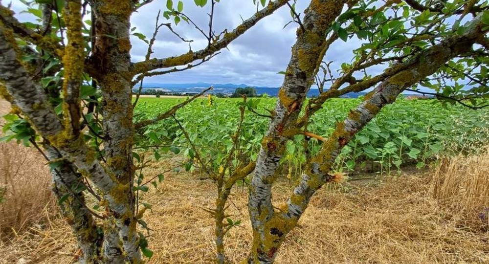
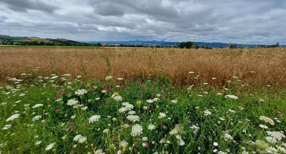
Route description
Start at “Les Girauds” green space. From Aigueperse, follow signs for Saint-Agoulin. Enter the village and turn right after the bakery. Parking lot on the left along the road.
Guidebook with maps/step-by-step
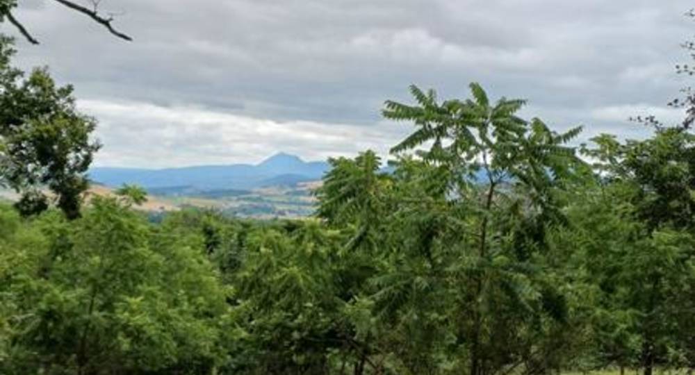
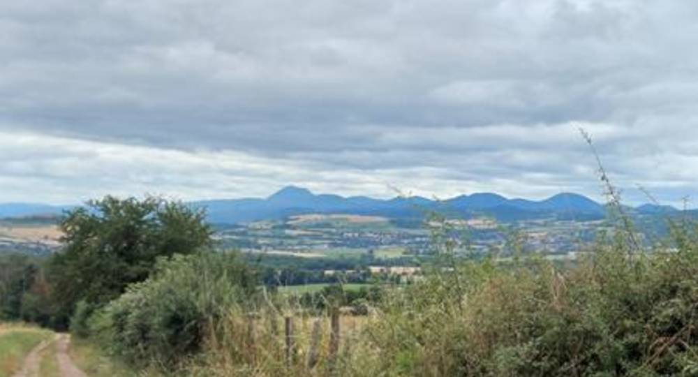
Step 1 : Start at “Les Girauds” green space. Take the path between the parking lot and a house. At the road, turn left. At the crossroads, go straight ahead on a wide track (view of the Chaîne des Puys for several kilometers). At the road, turn left, then immediately right. Follow the road for 100 m, then take the track on the left. Follow it to an intersection with a concrete water intake.
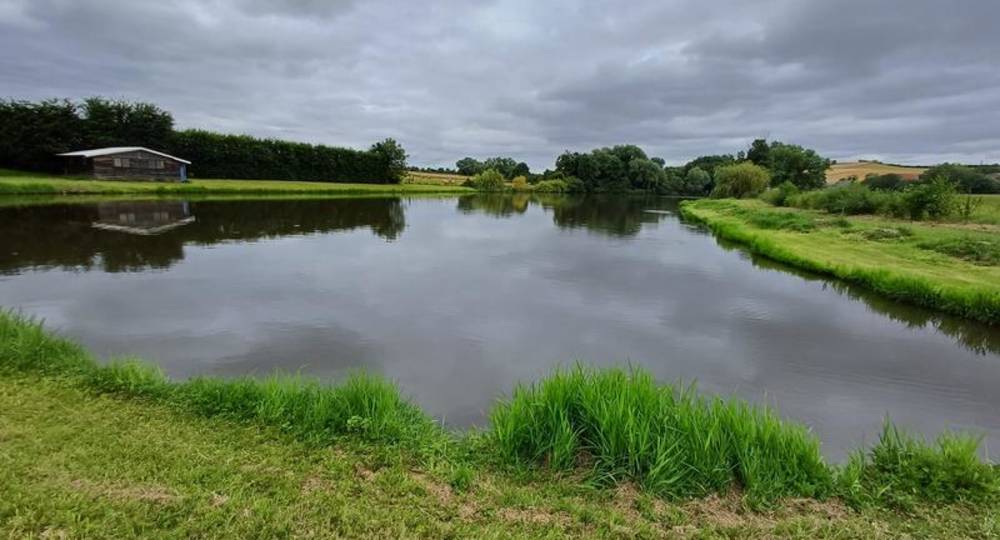
Step 2 : Take the track on the right for about 400 m (view of the Chaîne des Puys, the Sancy massif, the Livradois-Forez, the Monts de la Madeleine), then turn right onto the track leading down to the hamlet of Les Bardons. At the road, turn right. Follow it for 100 m, fork left and then immediately left. Go through a wood. At the T-junction, turn right. Go straight on at the pond. Join a tarmac road leading to the hamlet of Machal. Cross the hamlet (rue de Machal then rue du Lavoir). At the T-junction (lavoir), keep right. At the crossroads, turn left. Continue until you reach a five-way crossroads.
Step 3 : Cross the crossroads and continue along the asphalt road until you reach a main road, which you cross. At the freeway, fork right. Cross a road and go straight on for 100 m. Join a road and follow it to the right. At the “Saint-Agoulin” sign, fork left. At the last houses, go straight ahead on a dirt track. At a crossroads, turn right. Join a road and turn right. Follow the road to Saint-Agoulin and return to the starting point.
Opening hours
All year round daily.
Environment
In the country, Village centre
Downloadable :
Photo credits : Communauté de commaunes Plaine Limagne, Plaine Limagne, Communauté de commaunes Plaine Limagne, Communauté de commaunes Plaine Limagne, Communauté de commaunes Plaine Limagne, Plaine Limagne, Plaine Limagne, Plaine Limagne, Plaine Limagne, Plaine Limagne
 Updated on 12 July 2026 by Office de Tourisme Terra Volcana, les Pays de Volvic