![]()
Farges pond
Saint-Germain-près-Herment
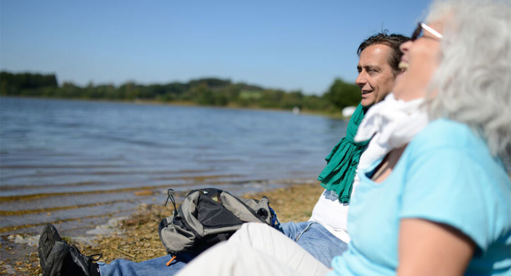
 Dogs allowed
Distance 4.5Km
Duration 1h15
Hiking route BOUCLE
Marking Blue
In pictures
Route description
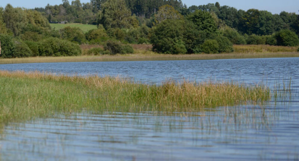
In the Combrailles region, through woods and pastures, the path leads to the banks of the pond, equipped with pontoons on stilts. Information panels trace the history of local rural life.
Trail highlights
– Panoramic view of the Etang de Farges.
– View of the Butte d’Herment.
Guidebook with maps/step-by-step
Step 1 : From the start sign at the entrance to the pond, take the path to the picnic area at the edge of the lake. Follow the shoreline to the right for 150 m, until you come to a grove of birch and conifers.
Step 2 : Climb to the right. At the road (view of Etang de Farges and Butte d’Herment), go straight ahead. Take the first track on the left. In the woods, continue on the main path until you reach a crossroads.
Step 3 : Turn left at right-angles. Ignore the paths on the right and follow the main road. At the road, turn left. After 300 m, take the first track on the left, then 100 m further on, turn right onto the wooden footbridge beside the pond. After the restaurant, cross the dike and take the road back to the starting point.
Proposed and managed by the Conseil départemental du Puy-de-Dôme – PDIPR.
/* col-6_sm-12 */ ?>
Opening hours
All year round daily.
Subject to favorable weather.
Comfort, facilities and services
- Pets welcome
Additional information
For your own safety, always take a bottle of water, a hat, warm clothing and footwear suitable for walking.
Depending on weather conditions, certain itineraries are not recommended in bad weather (fog) or are not practicable, or even forbidden, during the winter season.
Some sites are fragile, so stay on the marked trails. Avoid picking wild flowers and disturbing wildlife. Pick up your garbage.
Animals are not allowed on some routes.
Dogs allowed Dogs must be kept on a leash due to the presence of herds.
Environment
Forest location, Presence of livestock and guard dogs
Access
Join Herment, 50 km west of Clermont-Ferrand, then Farges via the D565 and D98. On leaving the village, take the first road on the right, at an acute angle. Follow this road until you reach the access road to the Farges pond on the left.
Downloadable :
Photo credits :