![]()
Philippe Pond
Saint-Gervais-d’Auvergne
 Dogs allowed
Distance 11.5Km
Duration 3h30
Hiking route BOUCLE
Marking Yellow
In pictures


Route description
From the Etang Philippe, a base for water sports and carp fishing, this walk offers magnificent views and leads along wide paths to Saint-Gervais-d’Auvergne and the 12th-15th century church of Saint-Gervais and Saint-Protais.
Trail highlights
View of the Chaîne des Puys, the Sainte-Christine plateau, the Sioule gorges, the ruins of Château Rocher, the Blot l’Église plateau, the Bourbonnais mountains and the Sancy massif.
Guidebook with maps/step-by-step
Step 1 : From the start sign in front of the campsite reception, climb up to the D987. Cross the road and take the path opposite. At the first junction (view of the Chaîne des Puys) go straight on, and at the next junction (view of the Sainte Christine plateaux) to reach a T-junction.
Step 2 : Turn right. Ignore a small road on the right and go as far as the entrance to the village of Chazelette.
Step 3 : Shortly after entering the village, turn right onto a wide path through a beech forest for 1 km. Climb towards Sainte-Linge until you reach a tarmac road just before the village.
Step 4 : Turn right (view of the Sioule gorges, Château-Rocher ruins, Blot l’Eglise plateau, Montagne Bourbonnaise, Chaîne des Puys, Sancy massif) to the D417. Follow the road to the left for 100 m, then take the first path to the right. Join a small road and continue straight ahead (view of the Chaîne des Puys) until you reach a crossroads.
Next step
Step 5 : Turn right on a wide track to Saint-Gervais d’Auvergne. Drive through the village, passing the church (fortified Romanesque). At the crossroads after the gendarmerie, turn right onto the D987 towards St-Eloy-Les-Mines, then follow the first track on the left back to the starting point.
Proposed and managed by the Conseil départemental du Puy-de-Dôme – PDIPR.
/* col-6_sm-12 */ ?>
Opening hours
All year round daily.
Subject to favorable weather.
Comfort, facilities and services
- Pets welcome
Additional information
For your own safety, always take a bottle of water, a hat, warm clothing and footwear suitable for walking.
Depending on weather conditions, certain itineraries are not recommended in bad weather (fog) or are not practicable, or even forbidden, during the winter season.
Some sites are fragile, so stay on the marked trails. Avoid picking wild flowers and disturbing wildlife. Pick up your garbage.
Animals are not allowed on some routes.
Dogs allowed Dogs must be kept on a leash due to the presence of herds.
Environment
In the country, Presence of livestock and guard dogs
Access
From Saint-Gervais-d’Auvergne (north-west of Clermont-Ferrand). Leave the village on the D987 towards Saint-Eloy-Les-Mines, and turn left onto the wide road leading to the Étang Philippe campsite. Parking lot in the immediate vicinity of the campsite and l’Étang.
Downloadable :
You might also like…
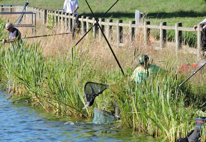
Photo credits : OT Combrailles, OT Combrailles