
The Butte de Montpensier
Montpensier
 No dogs allowed
Distance 7.5Km
Duration 2h00
Hiking route BOUCLE
Marking Blue markings
In pictures


Route description
Departure from the church. From Aigueperse north exit, follow signs for Montpensier. Parking near the church. Blue markings.
Guidebook with maps/step-by-step
Step 1 : Start : from the start sign in the church parking lot, take the D51 up to the village. Pass the town hall and continue on the D51 to a house with a dovecote.
Step 2 : Turn right up Chemin des Acacias. At the crossroads, go down Rue des Acacias for 50 m, then turn left onto Chemin de la Butte, which continues on a balcony. At the first intersection, turn left. Ignore the side paths and continue to the first house on the left.
Step 3 : Turn left onto a steep path leading to an esplanade. Go left, skirting the water tower, then right up a wide grassy path leading to the 2 orientation tables at the summit, on the south and north sides (PV1 : 2 180° panoramas). Go back down the same path and, at the water tower, turn right down the road. At the crossroads, turn right. After Place de La Forge, cross a road and continue straight ahead on Chemin du Pré Perlin to the first intersection.
Step 4 : Turn right and continue straight ahead, ignoring all side roads. Pass the Manoir Les Peyrouses, then the SNCF bridge, and continue in a straight line to the 2nd junction (PV2 : view of the Manoir de la Folie).
Next step
Step 5 : Turn right, cross a road and continue straight ahead to the first intersection. Turn right onto a road. Cross it (PP2 : wash-house and well) and join it again 20 m further on. Follow it to the right, pass under the SNCF bridge and continue on the D51 to reach the starting point.
Opening hours
All year round daily.
Environment
In the country, Village centre
Downloadable :
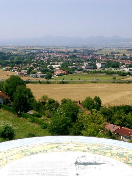
Photo credits : Plaine Limagne, Plaine Limagne, Plaine Limagne, Plaine Limagne
 Updated on 4 June 2026 by Office de Tourisme Terra Volcana, les Pays de Volvic