
The Nonette hillock – The walks of Léa and Tino
Nonette-Orsonnette
 Dogs allowed
Distance 3.1Km
Duration 1h30
Hiking route BOUCLE
Marking Butterfly
In pictures


Route description
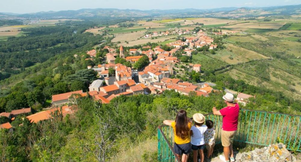
Nonette is an ancient winegrowing village of 300 inhabitants with a rich historical past. It is perched on a volcanic promontory offering 360-degree views. The summit of the mound rises to 578 m, 170 m above the Allier River.
Starting point – From the starting point, go down towards the Place de l’Église, walk along it on the left and then take the first path on the left (chemin de ronde). After passing through the gate, cross the Parc des Horts, take the footbridge. Then keep going down to(…)
Trail highlights
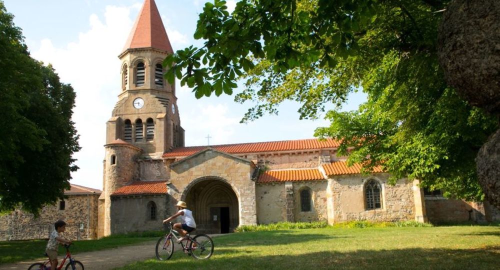
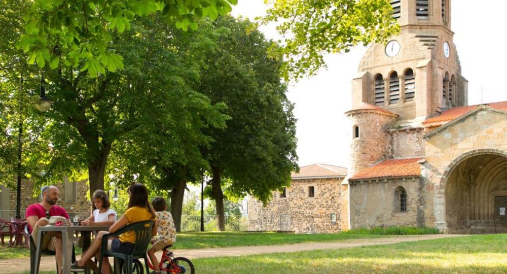
– Saint-Nicolas church.
– Parc des Horts.
– The Allier flood model.
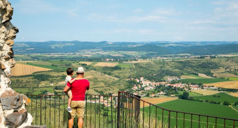
– View of the Allier valley and the Chaîne des Puys.
– Castle ruins.
– 360° view of the Cézallier, Forez, Sancy and Puys ranges.
Guidebook with maps/step-by-step
Step 1 : Follow the main road up to the entrance to Nonette and, 100m after the sign (in view of the château), pass under a porch on the left (passage du Soulard). Turn left into rue Jean de France, then right towards the hillock. At the fork in the road, turn left up towards the butte, and at the water tower, turn left up a steep slope to a red sign at the break in the slope.
Step 2 : Continue straight up the hill. Take the stairs on the right to the first terrace. Continue to the summit (two orientation tables). Climb back down, skirting the metal railings and then taking the stairs. Pass by an intermediate terrace with a third orientation table (3mn AR). Continue downhill and return to the outward path. At the break in the slope, take the path on the left and descend the first staircase, then another on the left. Pass a gate on the right, walk between the houses and descend on the left to a well on the square in front of the château.
Step 3 : Pass to the left of the church (rue de Beauregard), then turn left towards Parc des Horts. Enter the park through a metal gate, turn right and follow the itinerary. As you leave the park, take a footbridge and turn immediately left to go under it. Walk along a wall, up a flight of steps and continue straight ahead on a grassy path (view of the neck, volcanic organs and Pakowski Bridge). Leave a path on the right and climb towards the “Allier floods” model (view of Ysson peak). Continue to the road and turn right to return to the starting point.
Proposed and managed by the Conseil départemental du Puy-de-Dôme – PDIPR.
Opening hours
From 01/01 to 31/12 daily.
Subject to favorable weather.
Comfort, facilities and services
- Pets welcome
Additional information
For your own safety, always take a bottle of water, a hat, warm clothing and footwear suitable for walking.
Depending on weather conditions, certain itineraries are not recommended in bad weather (fog) or are not practicable, or even forbidden, during the winter season.
Some sites are fragile, so stay on the marked trails. Avoid picking wild flowers and disturbing wildlife. Pick up your garbage.
Animals are not allowed on some routes.
Dogs allowed Dogs must be kept on a leash due to the presence of herds.
Environment
Mountain view, Presence of livestock and guard dogs
Access
On A75, take exit 17, then left on D214, direction Auzat sur Allier/Nonette. Turn left towards Nonette (D123). After the Pakowski bridge over the Allier, turn left towards Nonette (D722). Start sign on right at parking lot adjacent to picnic area, just before Nonette.
Downloadable :
Photo credits : CD63/Laurence Barruel, CD63/Laurence Barruel, CD63/Laurence Barruel, CD63/Laurence Barruel, CD63/Laurence Barruel, CD63/Laurence Barruel, CD63/Laurence Barruel, Conseil départemental du Puy-de-Dôme
 Updated on 29 May 2026 by Conseil départemental du Puy-de-Dôme