
La Chaubasse
Saint-Floret
 Dogs allowed
Distance 10.5Km
Duration 3h15
Hiking route BOUCLE
Marking Yellow
In pictures
Route description
This plateau of summer pastures offers panoramic views of the points of the Massif Central. Its natural spaces conceal many treasures : peat bogs, lakes and waterfalls….
Starting point – From the Place du Marronnier, cross the Couze on the old bridge, (16th century Pède bridge, oratory housing a polychrome wooden virgin with a child), follow the D627 towards the church of Chastel, until the sign indicating the exit of Saint-Floret. Turn left at the cross. Go(…)
Trail highlights
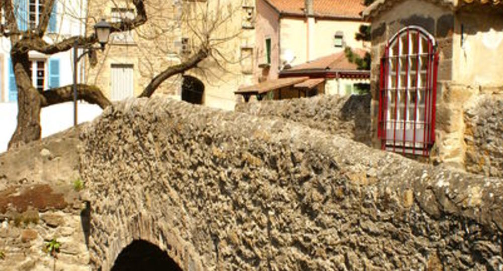
– The Couze and its 16th-century Pède bridge.
– Virgin and child in polychrome wood.
– View of the Sancy massif, Brionnet peak, Chaubasse plateau, Couze valley and villages, Issoire.
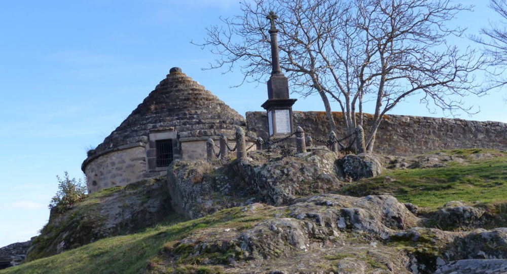
– At Le Chastel : chapel, ossuary, necropolis.
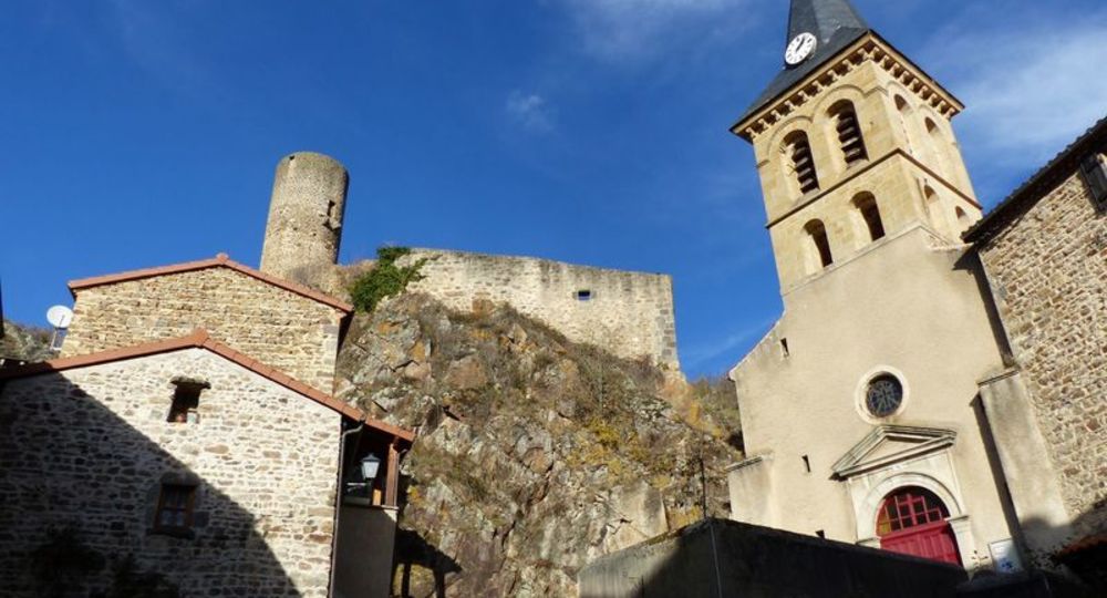
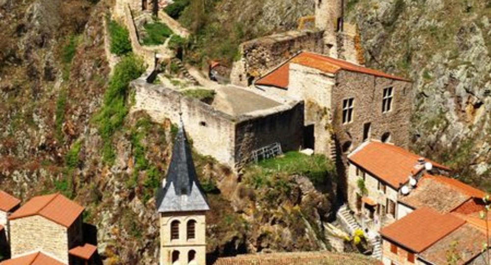
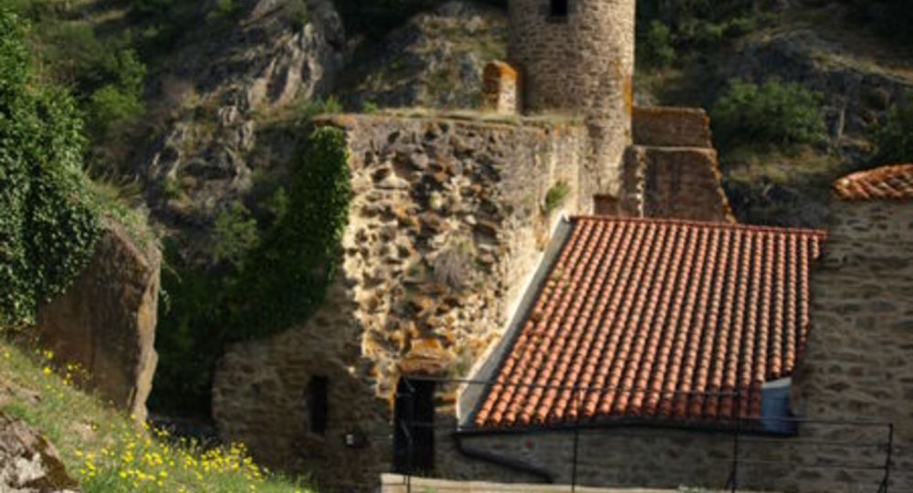
– Saint-Floret : stone cross engraved with a heart, view of the village and château.
Guidebook with maps/step-by-step
Step 1 : From Place du Marronnier, cross the Couze on the old bridge (16th-century Pont de la Pède, oratory housing a polychrome wooden Virgin and Child), follow the D627 towards the Eglise du Chastel, until you see the sign for Saint-Floret. Turn left at the cross. Go up to the road, follow it to the right, then right again for 50 m.
Step 2 : Turn left onto a wide track. At the fork, climb left through the orchards. Take the road on the right, then the first track on the left. Continue straight ahead until you reach another fork in the road, at the entrance to Orphange village.
Step 3 : Leaving the three drinking troughs on your left, drive through the village. At the exit, continue straight ahead on the road (view of the Sancy and Brionnet peaks). In the village of Le Montel, turn left. After the last houses, climb between hedges to reach a wide track. Turn right for 50 m (viewpoint), then fork left onto the first path up to the Chaubasse plateau (wide panoramic view from the summit). Continue downhill on the same path (leaving behind the cross-country tracks) to the hamlet of Chazeras.
Step 4 : Turn left, passing the drinking trough and wash-house. Continue straight on up the hillside. At the fork, take the right-hand path to a T-junction.
Next step
Step 5 : Go right downhill (view of the Couze valley and its various villages, as far as Issoire), pass under the high-voltage power line and take the first track on the left to the road, which you cross.
Step 6 : Return to the Chastel site (chapel, ossuary, necropolis). Take the grassy path down to Saint-Floret, to the right of the hillock (path of the cross and, halfway down the slope, a stone cross engraved with a heart, with a view of the village and château). At the road, turn right, cross the Couze on the footbridge, and follow the road to the left to reach the starting point.
Proposed and managed by the Conseil départemental du Puy-de-Dôme – PDIPR.
Opening hours
From 01/01 to 31/12 daily.
Subject to favorable weather.
Comfort, facilities and services
- Pets welcome
Additional information
For your own safety, always take a bottle of water, a hat, warm clothing and footwear suitable for walking.
Depending on weather conditions, certain itineraries are not recommended in bad weather (fog) or are not practicable, or even forbidden, during the winter season.
Some sites are fragile, so stay on the marked trails. Avoid picking wild flowers and disturbing wildlife. Pick up your garbage.
Animals are not allowed on some routes.
Dogs allowed Dogs must be kept on a leash due to the presence of herds.
Environment
In the country, Mountain view, Presence of livestock and guard dogs
Access
In Champeix, turn left on the D28, direction Clémensat / Saint-Floret. Parking in Saint-Floret along the Couze Pavin, place du Maronnier.
Downloadable :
Photo credits : CD63 / C.Bachelerie, C Bachèlerie, A Péronnet, A Péronnet, C Bachèlerie
 Updated on 29 May 2026 by Conseil départemental du Puy-de-Dôme