
The lime and the wood of Jaby
Mareugheol
 Dogs allowed
Distance 10.5Km
Duration 3h15
Hiking route BOUCLE
Marking Yellow
In pictures


Route description
A remarkable hike for the built heritage of Mareugheol with one of the most beautiful villages in Auvergne and for the variety of landscapes and environments such as lime, streams and couzes. Nice views.
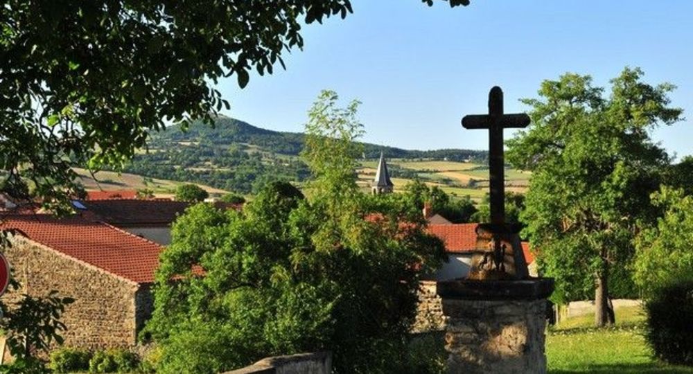
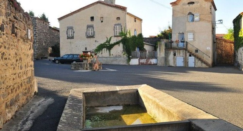
Starting point – Go down rue du Fort. Walk along the surrounding wall, cross the square between fountain and washhouse (fort, fountain and washhouse). Go left between two stone walls, go up to the second crossroads ; go left to a stone cross.
1 – Continue straight ahead (view(…)
Trail highlights
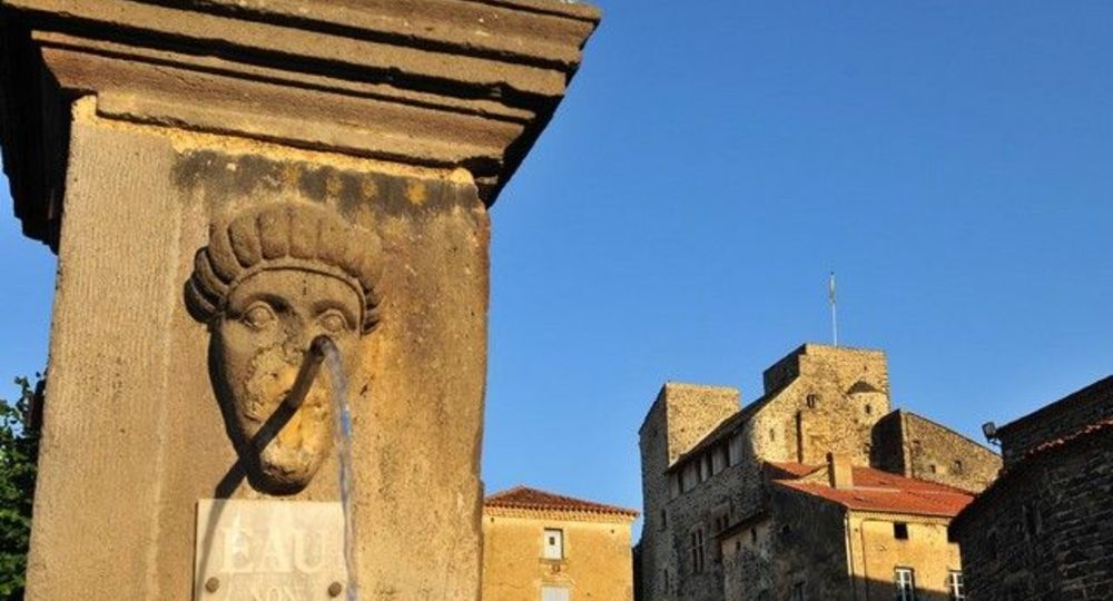
– Mareugheol : fort, fountain and washhouse.
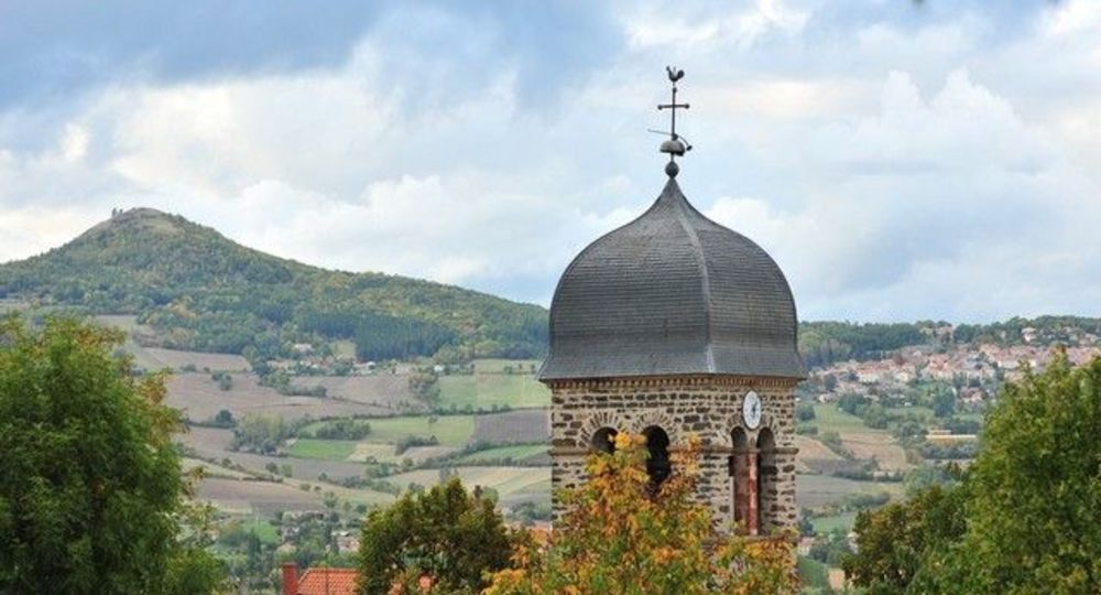
– View of the Broc lime plateau.
– Villeneuve-Lembron castle and square tower.
– Pouzeix : bread oven, laundry vat and shoe loom.
Guidebook with maps/step-by-step
Step 1 : Go down rue du Fort. Walk along the surrounding wall, crossing the square between the fountain and the wash-house (fort, fountain and wash-house). Go left between two stone walls, up to the second crossroads ; go left to a stone cross.
Step 2 : Continue straight ahead (view of the Broc lime plateau), ignoring the adjacent paths. At the entrance to the village of Villeneuve, turn left at the cross to the church (château de Villeneuve-Lembron and square tower).
Step 3 : Go up to the right. Follow the Chemin de Mousteloux to a fork. Turn right (other PR opposite), climb the low-walled path through the woods to the plateau (la chaux de Villeneuve). Turn left onto the path. After the fence, stay on the main path until it intersects with a wide track at the radio relay station.
Step 4 : Turn right (viewpoint). Continue through pastureland and hardwood coppice. Pass the water reservoir before descending to a road. Cross it and go down the Chemin du Moulin to an intersection before a building (old mill).
Next step
Step 5 : Turn right above the mill, follow the stream for 500 m, then turn right up the narrow path leading to the village of Pouzeix. Cross the village (bread oven, washing tub, shoe loom). Cross the road, pass under the high-voltage power line and continue for approx. 700 m to the intersection with a small path in the woods.
Step 6 : Turn right down the chaotic path between low stone walls. As you go downhill, turn left at the shepherd’s hut. Turn left at the fork. When you see the village below, go straight on down to Mareugheol and return to the start.
Proposed and managed by the Conseil départemental du Puy-de-Dôme – PDIPR.
Opening hours
From 01/01 to 31/12 daily.
Subject to favorable weather.
Comfort, facilities and services
- Pets welcome
Additional information
For your own safety, always take a bottle of water, a hat, warm clothing and footwear suitable for walking.
Depending on weather conditions, certain itineraries are not recommended in bad weather (fog) or are not practicable, or even forbidden, during the winter season.
Some sites are fragile, so stay on the marked trails. Avoid picking wild flowers and disturbing wildlife. Pick up your garbage.
Animals are not allowed on some routes.
Dogs allowed Dogs must be kept on a leash due to the presence of herds.
Environment
Presence of livestock and guard dogs
Access
At Issoire, south of Clermont-Ferrand, take the D32 towards Solignat, then the D717 to Mareugheol.
Downloadable :
Photo credits : N. Dutranoy Pays Issoire Val Allier Sud, N. Dutranoy Pays Issoire Val Allier Sud
 Updated on 29 May 2026 by Conseil départemental du Puy-de-Dôme