
The Red Coast
Saint-Laure
 No dogs allowed
Distance 14.9Km
Duration 4h00
Hiking route BOUCLE
Marking Green markings
In pictures
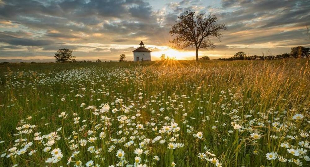
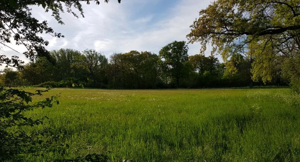
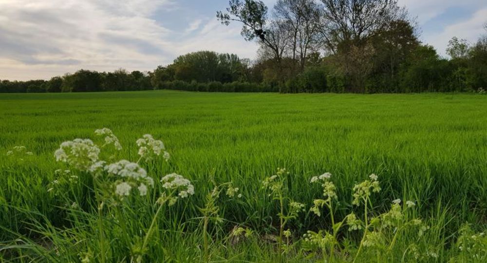
Route description
Departure from Maison de la vigne. From Riom, follow Ennezat then Saint-Laure on the D224. Start at rue du Stade, before the dovecote.
Guidebook with maps/step-by-step
Step 1 : Depart from Maison de la Vigne. Cross the D224 and join the cul-de-sac opposite. Continue along the stream for 300 m. Cross the bridge. Turn left onto Rue Rive Haute. Pass a calvary and continue straight ahead, then take the 2nd left.
Step 2 : At the white crosses, turn left. At the next intersection, turn left, then right. Join the D224 and cross. Cross the road again
and go straight on towards La Côte Rouge. After 50 m, cross the river. Go straight ahead and take the 1st left, then left again. At the D17E, turn right towards Champeyroux for 50 m. Turn left on rue des Moulins. Follow rue des Lilas.
Step 3 : At the end of the hill, turn left. At the next crossroads, turn right into the undergrowth. At the next intersection, follow Champeyroux then Le Moulin. Follow the road to a crossroads. Turn left. Go straight on until you reach Le Moulin. Follow signs for Champeyroux. Cross the footbridge to the left and follow the path through the undergrowth. At Les Rabouyons, follow signs for Villeneuve l’Abbé as far as the village.
Step 4 : Cross Place des Marronniers and turn left. Continue left, then turn left at the stop sign. Follow signs for Saint-Laure via rue des Côtés du Lac. Continue to the top of the hill and go straight on. After 300 m, go straight on, then take the path on the right. Turn left, continue for 350 m and turn left. Continue for 700 m and turn left, then straight on at the new intersection. After 250 m, turn right towards Saint-Laure. At the road, turn right and go straight on. In Saint-Laure, turn left immediately. Continue straight on and turn right to return to the starting point.
Opening hours
All year round daily.
Environment
In the country, Waterside
Downloadable :
Photo credits : Jean Francois Bussiere, Marie Delmotte, Marie Delmotte, Marie Delmotte
 Updated on 18 December 2025 by Office de Tourisme Terra Volcana, les Pays de Volvic