
La Couze and Lake Pavin
Besse-et-Saint-Anastaise
 Dogs allowed
Distance 12.5Km
Duration 3h30
Hiking route BOUCLE
Marking Yellow
In pictures
Route description
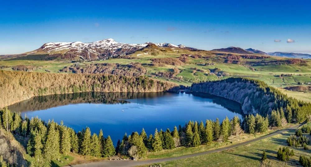
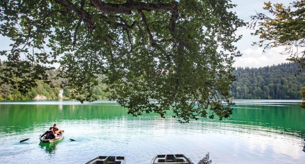
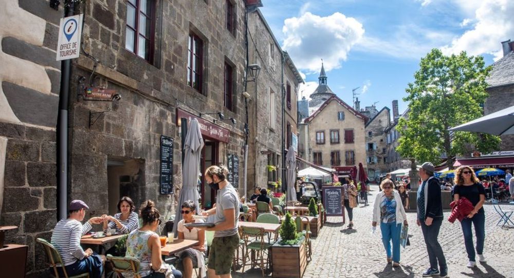
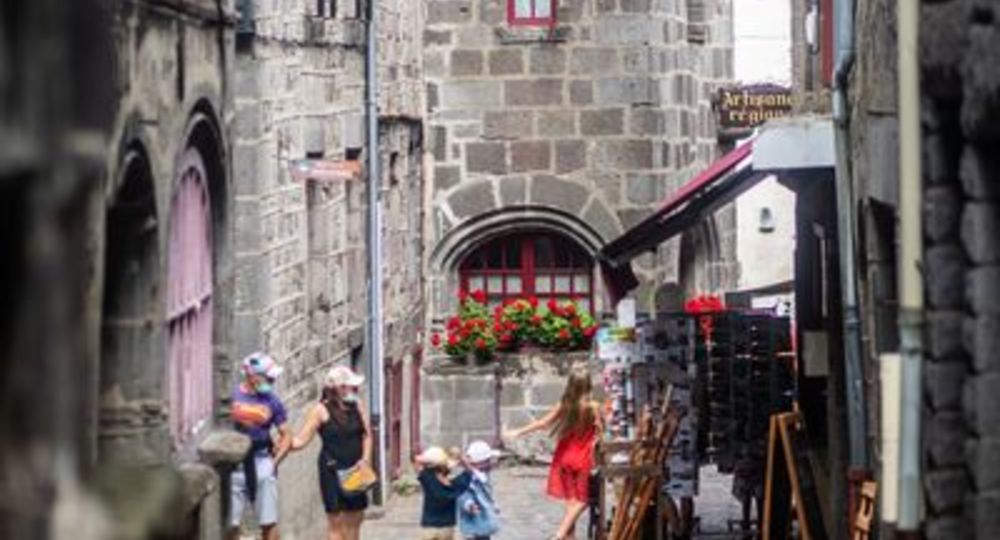
The heritage of the medieval town of Besse-en-Chandesse, rivers, lakes, forests and volcanoes all add to the charm of this beautiful circuit. The trail follows the couze Pavin and its waterfalls, and climbs to the crests where you can see Lake Pavin and many other views.
Trail highlights
– The medieval town of Besse and its belfry.
– The Goyon iron fountain.
– View of Lac Pavin and the Sancy massif.
– Nearby : another hiking trail (puy de Montchal – lac
Pavin).
Guidebook with maps/step-by-step
Step 1 : From the sign at the bottom of the parking lot, head towards the center (rue des Consuls – place A. Pipet), turn left into the Saint-Jean district, cross rue des Carrières, and at the stop sign turn left into rue de la Bessous. At the bottom, turn left until you cross the D36. Go straight ahead along the Couze Pavin as far as the fish farm, then on the path after the road between hedges and fences. Cross the Fontaine ferrugineuse Goyon river. Climb up into the forest overlooking the Couze, then follow the edge of the wood to the tarmac road.
Step 2 : After the bridge, turn left onto a path running alongside the Couze. Pass 2 fences and follow the path through pastures to the ferme des Sagnes. By the road, join the D149 to Super-Besse.
Step 3 : Cross the road, go straight ahead towards a ski store ; cross the D978, take the road opposite, one way only, as far as Le Pavin. Follow the lake to the right (joint “puy de Montchal – lac Pavin” circuit) as far as the Pierre Carrée.
Step 4 : 100 m after the Pierre Carrée, turn right up the side of the puy de Montchal. At the summit (another PR), go straight ahead and descend to the picnic area with signposting (view of the lake and Sancy massif).
Next step
Step 5 : Go towards the stele, then left across the moor to a coniferous wood. Cross between palisades and climb two stepladders. After Lac Estivadoux, take the 2nd path rising to the left as far as the road.
Step 6 : Cross the road and turn left into the forest. Continue straight ahead until you reach the end of the wood. Turn right onto the path between two fences (view of Besse), go to the road.
Step 7 : Turn left, take the 1st track on the left to the traffic circle at the entrance to Besse. Cross the D978, go to the belfry, pass under the porch. Turn left at Place Gayme, cross Place de la Pairie and Place Pipet, then left again, back to the start.
Proposed and managed by the Conseil départemental du Puy-de-Dôme – PDIPR.
Opening hours
From 01/01 to 31/12 daily.
Subject to favorable weather.
Comfort, facilities and services
- Pets welcome
Additional information
For your own safety, always take a bottle of water, a hat, warm clothing and footwear suitable for walking.
Depending on weather conditions, certain itineraries are not recommended in bad weather (fog) or are not practicable, or even forbidden, during the winter season.
Some sites are fragile, so stay on the marked trails. Avoid picking wild flowers and disturbing wildlife. Pick up your garbage.
Animals are not allowed on some routes.
Dogs allowed Dogs must be kept on a leash due to the presence of herds.
Environment
Mountain location, Presence of livestock and guard dogs
Access
In Besse-et-Saint-Anastaise, on the D978, follow signs for the Pré-Chabrat parking lot.
Photo credits : CD63/Francis Cormon, CD63/David Frobert, CD63/David Frobert, CD63/David Frobert
 Updated on 29 May 2026 by Conseil départemental du Puy-de-Dôme