
The Quartier forest
Saint-Éloy-les-Mines
 Dogs allowed
Distance 16Km
Duration 4h45
Hiking route BOUCLE
Marking Green
In pictures
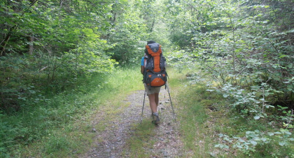
Route description
You walk alongside a lake to reach the village of Youx, from where you can overlook the Bouble valley and Saint-Éloy-les-Mines. The trail then passes by old mining towns where coal and lead were mined.
Trail highlights
– 11th century church.
– Lake.
– Forest of Quartier.
Guidebook with maps/step-by-step
Step 1 : From the start sign at Place Saint-Ménilie (11th-century church), head down Rue de la Poule-d’Eau and cross the dike ; continue along the lake-side path and climb left to the D110.
Step 2 : Cross the road and drive around the sports field below. Go straight ahead to the first track on the left. Take this and continue straight ahead. Pass two railroad tracks. At the road, at the entrance to Cité des Sapins, turn right into the woods and proceed to a clearing.
Step 3 : Climb immediately to the left (very steep slope). After the wood, turn right at the first crossroads, and continue straight ahead on the road to the Youx church. Pass it and turn left into Rue de la Pêche. Leave a track on the right at a farm, and go down to a stream. Turn right, cross the hamlet of Malvette and continue right to a crossroads.
Step 4 : Turn right and continue straight ahead, passing the Chevalot farm. Join a wide tarmac track which you follow to the D998.
Next step
Step 5 : Go straight ahead (towards Montillet), then fork right into the Quartier forest. Follow this lane for 2 km. At the crossroads, take the second turning on the left, and continue straight ahead to exit the forest. Drive around a pond, up to a farm and then a small road.
Step 6 : Go straight ahead. Leave a track on your left and go straight ahead along the edge of a wood. At the first intersection, turn right at an acute angle and, 10 m further on, follow the footpath rising to the left. Cross a small road and descend to Ladoux. At the D988, continue straight ahead past Bois Labbé. At the fork, 100 m before the mining towns, turn right. On Boulevard de la République, take impasse de la Bouble and, 20 m after the railroad tracks, fork left. Go down rue Jean-Duranthon, cross the D110 and follow the edge of the lake on the left to reach the starting point.
Proposed and managed by the Conseil départemental du Puy-de-Dôme – PDIPR.
Opening hours
All year round daily.
Subject to favorable weather.
Comfort, facilities and services
- Pets welcome
Additional information
For your own safety, always take a bottle of water, a hat, warm clothing and footwear suitable for walking.
Depending on weather conditions, certain itineraries are not recommended in bad weather (fog) or are not practicable, or even forbidden, during the winter season.
Some sites are fragile, so stay on the marked trails. Avoid picking wild flowers and disturbing wildlife. Pick up your garbage.
Animals are not allowed on some routes.
Dogs allowed Dogs must be kept on a leash due to the presence of herds.
Environment
In the country, Presence of livestock and guard dogs
Access
In Saint-Éloy-les-Mines (50 km north-west of Riom), on the D2144, which runs alongside the lake in the direction of Clermont-Ferrand, head for the old village. Parking near the church.
Photo credits : Office de Tourisme des Combrailles
 Updated on 29 May 2026 by Conseil départemental du Puy-de-Dôme