
The Stone Fichade
Champeix
 Dogs allowed
Distance 6.5Km
Duration 1h45
Hiking route BOUCLE
Marking Blue
In pictures
Route description
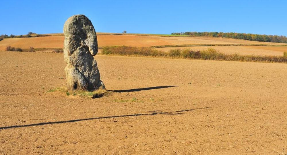
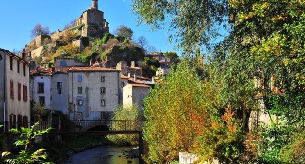
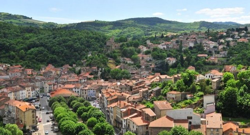
The path rises between vineyards and rocky outcrops to Aubary lime and the menhir of Pierre-Fichade, proof of a human presence of more than 4,000 years. We go down to the red tiles of Champeix and the couze Chambon.
Starting point – From the starting sign on the right of the town hall, go towards the schools. Leave the D978 on the right, cross the D28 (route de Ludesse), then the school car park. Turn right just after the post office. Take a stone path on the left. At(…)
Trail highlights
– View of Champeix and Le Marchidial.
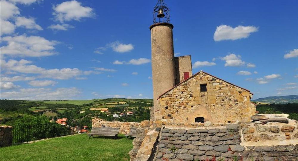
– View of the Pardines plateau, Anciat chapel (12th century), Couze-Chambon valley.
– Circular view of the Comté, Allier valley, Ysson peak and Sancy massif.
– The Pierre Fichade menhir.
Guidebook with maps/step-by-step
Step 1 : From the start sign on the right of the town hall, head towards the schools. Turn right on the D978, cross the D28 (route de Ludesse), then the school parking lot. Turn right just after the post office. Take a gravel path to the left. At the crossroads, fork right onto the road (view of Champeix and Le Marchidial). Continue past the houses to the T-junction. Turn left, climb up through the vineyards (view of the Pardines plateau, the 12th-century Anciat chapel and the Couze Chambon valley), then turn right at the next junction. At the fork, fork left. At the crossroads, go left (circular view of the Comté, Allier valley, Ysson peak and Sancy massif) as far as the fork.
Step 2 : Keep left to the next T-junction. Go downhill and, at the T-junction, turn left along the wide track to the D28.
Step 3 : Cross the road and take the first track on the left. Pass the Pierre Fichade menhir and continue straight ahead. At Beauregard, leave the right-hand track and descend into Champeix. Turn left onto “Petite rue de Beauregard”. At the D996, turn left to reach the parking lot.
Proposed and managed by the Conseil départemental du Puy-de-Dôme – PDIPR.
Opening hours
From 01/01 to 31/12 daily.
Subject to favorable weather.
Comfort, facilities and services
- Pets welcome
Additional information
For your own safety, always take a bottle of water, a hat, warm clothing and footwear suitable for walking.
Depending on weather conditions, certain itineraries are not recommended in bad weather (fog) or are not practicable, or even forbidden, during the winter season.
Some sites are fragile, so stay on the marked trails. Avoid picking wild flowers and disturbing wildlife. Pick up your garbage.
Animals are not allowed on some routes.
Dogs allowed Dogs must be kept on a leash due to the presence of herds.
Environment
In the country, Mountain view, Presence of livestock and guard dogs
Access
On the A75, take exit n°6. Take the D978 towards Besse as far as Champeix.
Downloadable :
Photo credits : N. Dutranoy PAH, N. Dutranoy PAH
 Updated on 29 May 2026 by Conseil départemental du Puy-de-Dôme