
The Resistance
Saint-Julien-la-Geneste
 Dogs allowed
Distance 14Km
Duration 3h45
Hiking route BOUCLE
Marking Yellow
In pictures
Route description
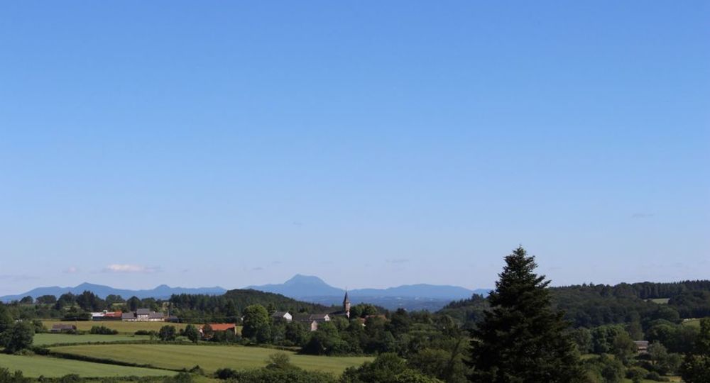
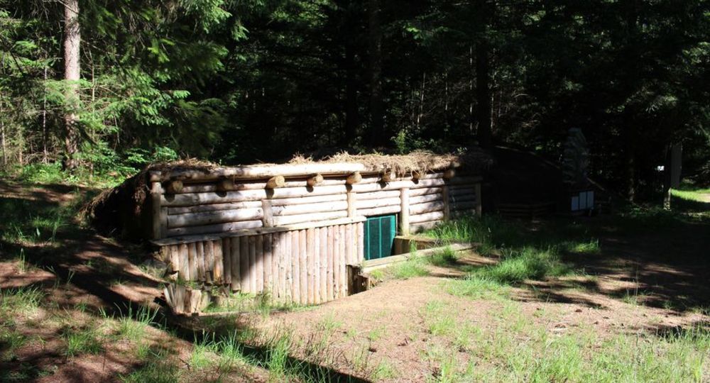
A forest tour of a key site in the French Resistance : the ‘Nestor Perret’ maquis. Leader of the Clermont-Ferrand Resistance, he was shot by the Gestapo in 1943 without having spoken. Views of the Chaîne des Puys and the Combrailles.
Trail highlights
– Viewpoints and vast panoramic views of the Combrailles and the Chaîne des Puys.
– Saint-Julien-la-Geneste church : 17th-century statue, tabernacle and high altar ; beautiful Irish yew tree in the church square.
– Off the route : Nestor-Perret maquis (commemorative stele) ; straight on after Pracos, butte de Montagar (exceptional viewpoint over the Combrailles) ; after the church on the way back, take a path on the left (signposted) to the beautiful Saint-Blaise fountain.
Guidebook with maps/step-by-step
Step 1 : From the signpost, go down the D18 and, just after the bridge, take the track on the right. As you climb the hill, turn right at the 1st track along the telephone line and continue until you reach the entrance to the hamlet. Le Bois du Mas. Turn right immediately and continue to a T-junction in the woods.
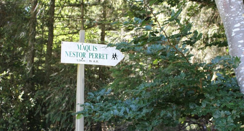
Step 2 : Go right and at the next crossroads, as you leave the wood, take the track on the left. Continue along the wood until you come to a bend in the road. Follow this road in the direction of Maquis Nestor Perret. At the hamlet of l’Etubeix, go left into the woods, still heading for the Resistance site. At the fork in the descent (off-route to the right : le site de la Résistance), continue straight ahead to a large crossroads in the Pionsat woods.
Step 3 : Turn right and continue straight ahead, ignoring the crossroads, until you reach a large clearing. Cross the clearing and take the wide track on the right. Continue straight ahead until you reach a T-junction.
Step 4 : Turn right downhill. Continue along the main path to a crossroads. Take the path on the left, between hedges, which climbs towards Pracos. At the road, turn left and enter the hamlet. At the fork in the road, turn right along a barn. After the small fir-tree wood, as you climb the hill, turn right onto a track and continue until you reach the road.
Next step
Step 5 : Turn right, and at the end of a bend, take the first small hedge-lined track on the left. At the fork in the road, turn right and follow the road to a T-junction. Turn left onto a wide track, cross the wood (as you leave the wood, you’ll see views of the Combrailles and the Chaîne des Puys). 200 m further on, turn right onto a track and follow it to the road. Turn right, cross the hamlet of Chez Pezant and go straight on. Pass by the church (17th-century statue, tabernacle, Irish yew planted by La Fayette) to reach the starting point.
Proposed and managed by the Conseil départemental du Puy-de-Dôme – PDIPR.
Opening hours
All year round daily.
Subject to favorable weather.
Comfort, facilities and services
- Pets welcome
Additional information
For your own safety, always take a bottle of water, a hat, warm clothing and footwear suitable for walking.
Depending on weather conditions, certain itineraries are not recommended in bad weather (fog) or are not practicable, or even forbidden, during the winter season.
Some sites are fragile, so stay on the marked trails. Avoid picking wild flowers and disturbing wildlife. Pick up your garbage.
Animals are not allowed on some routes.
Dogs allowed Dogs must be kept on a leash due to the presence of herds.
Environment
In the country, Forest location, Presence of livestock and guard dogs
Access
From Menat, north-east of Riom on the D2144, head for Saint-Éloy as far as La Boule, then turn left on the D987 towards St- Gervais. After Teilhet, take the D18 towards Gouttières, as far as St Julien-la-Geneste.
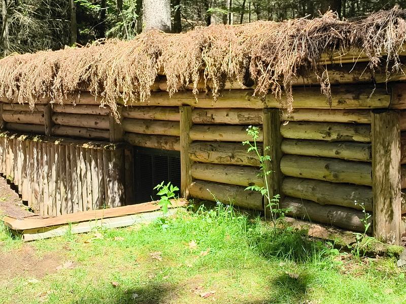
Photo credits : Office de Tourisme des Combrailles, Office de Tourisme des Combrailles, Office de Tourisme des Combrailles
 Updated on 29 May 2026 by Conseil départemental du Puy-de-Dôme