
La ronde des fruits
Domaize
 Dogs allowed
Distance 11Km
Duration 3h15
Hiking route BOUCLE
Marking Yellow
In pictures
Route description
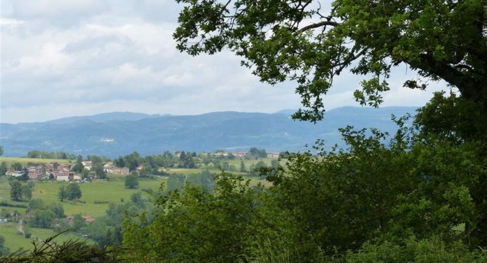
The trail’s central location offers panoramic views of the Monts du Forez, Thiers, the Dore valley, the Chaîne des Puys, the Sancy, the Château de Mauzun and the surrounding villages. The fruit trees offer delicious treats…
Trail highlights
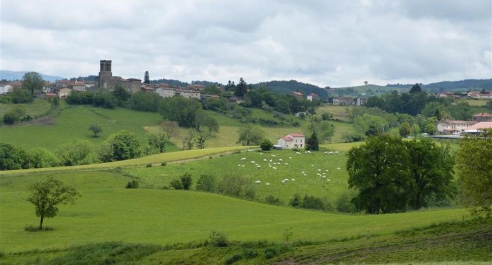
– Village of Domaize.
– View of the Forez mountains, Thiers, the Puys chain, Tours-sur-Meymont, Mauzun castle, Dore valley and Sauviat village.
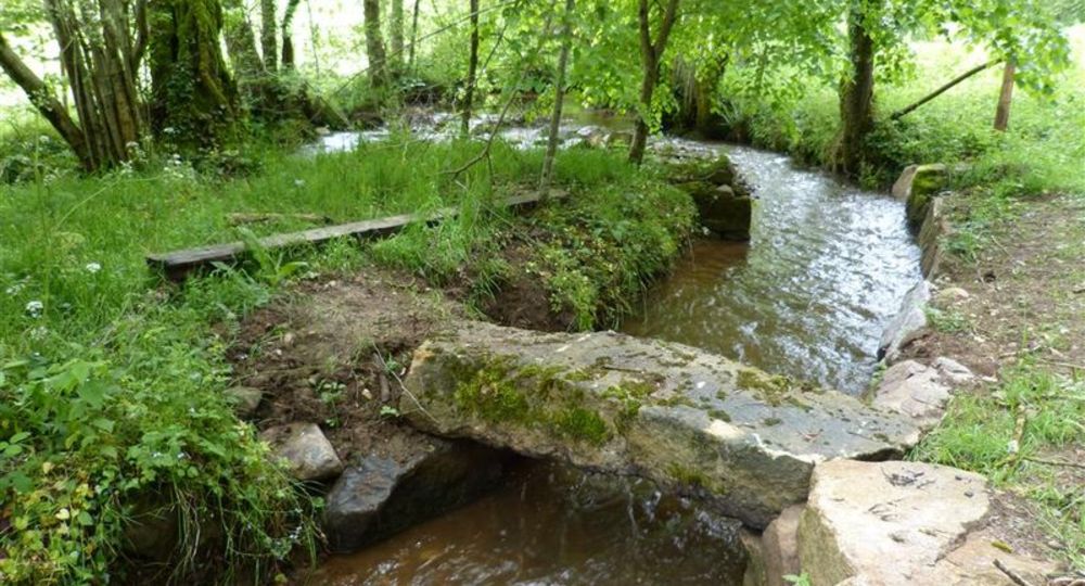
– Stream and bridge.
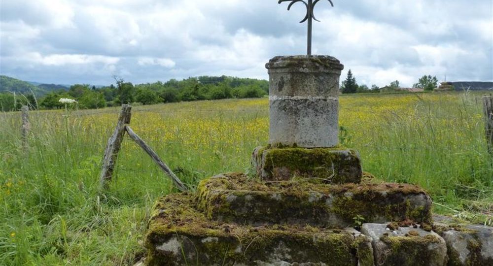
– Stone cross.
Guidebook with maps/step-by-step
Step 1 : From the salle polyvalente : take the stairs opposite (P 1), then follow the tennis courts on the right to the D65 (P 2). Cross the road to go alongside the hut and reach the crossroads of the D65 (view of the Monts du Forez, Thiers and the Chaîne des Puys). Cross the road again and head downhill towards La Recoule. Cross the stream and climb back up. Take the first track on the left.
Step 2 : At the first houses in Voilhes, take the road on the left. At the crossroads (P 3), go right down to La Bouchie. Turn right again, towards Puissochet. Turn left in the village (P 4), then down the track to the left. At the crow’s-foot, continue downhill to the right. The track climbs up to Champ ; in the middle, turn right. The road descends and, at the stream, take the left-hand track. At the crossroads, continue uphill to the left. Continue past the poultry barns (P 5) (view of the Forez mountains).
Step 3 : At the Roussis houses, turn right as far as the Redonde farm (view of Tours-sur-Meymont). Turn right just after the building. At the crossroads of four tracks, turn left up to the D65. Cross the road and take the path opposite. Higher up, on the flat, follow the track to the left for 20 m and then follow the road to the right (view of the Château de Mauzun, the Chaîne des Puys, the Sancy, the Monts du Forez and Thiers).
Step 4 : Go through Montcriol. On leaving the village (P 6) (view of the Dore valley and the village of Sauviat), go down the track. At the road, turn right. At the stream, turn left. Cross the bridge and continue along the rising path. At mid-slope, turn right. At the road (P7), follow it for 20 m, then turn immediately left to Le Fraisse. In the village of Le Fraisse, follow the tarmac road to the right.
Next step
Step 5 : Continue along a stone cross (P 8) (view of Mauzun castle, Dôme and Dore mountains, Thiers, Dore valley and Forez mountains). Turn right through the hamlet of Chez Poulon. Turn right downhill. Cross the D65 and continue towards Le Cheix ; keep left. Follow the first track on the left down to the village of Domaize. Cross the road (P9) and go down the steps. At the crossroads, turn right to return to the start.
Proposed and managed by the Conseil départemental du Puy-de-Dôme – PDIPR.
Opening hours
From 01/01 to 31/12 daily.
Subject to favorable weather.
Comfort, facilities and services
- Pets welcome
Additional information
For your own safety, always take a bottle of water, a hat, warm clothing and footwear suitable for walking.
Depending on weather conditions, certain itineraries are not recommended in bad weather (fog) or are not practicable, or even forbidden, during the winter season.
Some sites are fragile, so stay on the marked trails. Avoid picking wild flowers and disturbing wildlife. Pick up your garbage.
Animals are not allowed on some routes.
Dogs allowed Dogs must be kept on a leash due to the presence of herds.
Environment
In the country, Presence of livestock and guard dogs
Access
From Cunlhat, take the D65 for 9km towards Domaize.
Photo credits :
 Updated on 2 July 2026 by Conseil départemental du Puy-de-Dôme