
The Billeyre Valley
Valcivières
 Dogs allowed
Distance 7Km
Duration 2h00
Hiking route BOUCLE
Marking Blue
In pictures
Route description
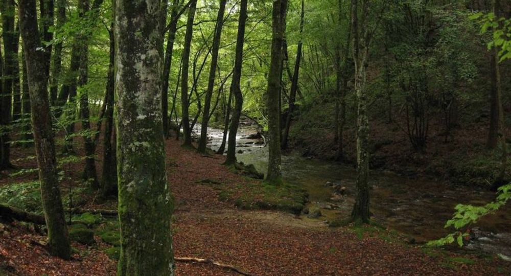
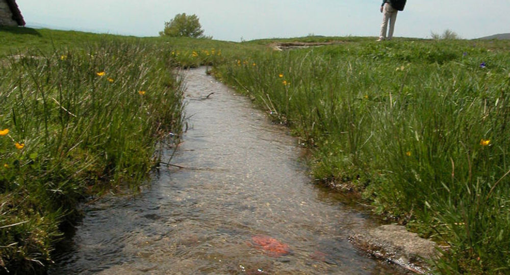
This circuit, in the foothills of the Forez crests, offers easy access to a glacial valley. Forests, fountains, pastures (we’re in an area where fourme d’Ambert cheese is produced) and the Billeyre stream punctuate this walk.
Trail highlights
– The Forez ridges.
– Forest, fountains, pastures.
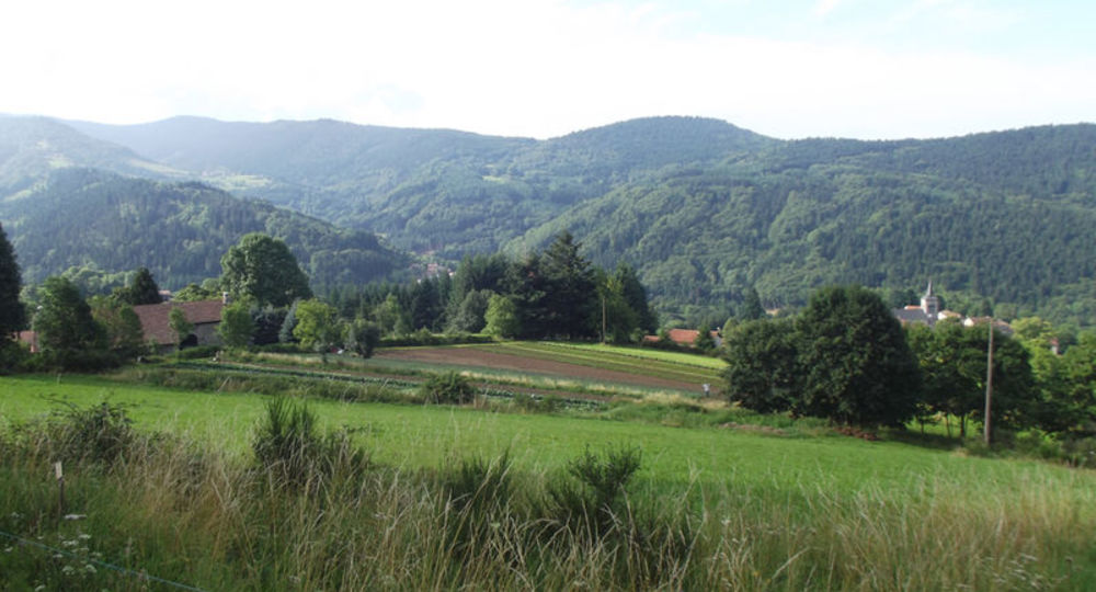
– View of Valcivières and the Ambert plain.
– View of the Col des Supeyres and the Forez mountains.
– View of the Billeyre valley.
– Billeyre stream.
– View of the Livradois mountains, Dore valley.
– Heritage : cross, jasserie and church.
Guidebook with maps/step-by-step
Step 1 : Climb the D106 towards the Col des Supeyres. Take the road rising to the right just after the town hall. 30 m further on, follow the path on the right to the D106.
Step 2 : Climb the grassy path opposite between 2 fences to reach La Moronie. At the road, keep going up on the left (left-hand view of Valcivières). At Chabreyssat, continue up a gravel path to a road. Turn right towards Les Versades (view of the Ambert plain on the right). At Les Petites Versades, continue on the road to Les Grandes Versades (view of the Col des Supeyres and the Forez mountains).
Step 3 : At the crossroads, take the track on the left (view of the Billeyre valley). Continue along this path, skirting the Diable cross. At the fork, turn right and, 100 m further on, go straight ahead. Turn right and take the footbridge over the Billeyre stream. Turn right at the first crow’s-foot and left at the next one.
Step 4 : At La Jurinie, continue uphill. Turn left as far as the reservoir (view of the Livradois mountains, the Dore valley on the right and the Forez mountains opposite) and head downhill. A few metres further on, turn right towards La Faye. Follow the road through the hamlet to La Boissadie. Go straight ahead, past the cross and along the thatched jasserie on the right. Cross the road and head down the path towards Le Puy.
Next step
Step 5 : Turn right onto the D106 and immediately left down a sunken track. In Thiolerette, at the crossroads, turn right for 10 m and go left down the road (with a view of Valcivières). Cross the two roads and go straight down to La Farge. Follow the path immediately to the right. 100 m further on, turn left. Continue uphill to the road. Turn left, enter the village and reach the church.
Proposed and managed by the Conseil départemental du Puy-de-Dôme – PDIPR.
Opening hours
From 01/01 to 31/12 daily.
Subject to favorable weather.
Comfort, facilities and services
- Pets welcome
Additional information
For your own safety, always take a bottle of water, a hat, warm clothing and footwear suitable for walking.
Depending on weather conditions, certain itineraries are not recommended in bad weather (fog) or are not practicable, or even forbidden, during the winter season.
Some sites are fragile, so stay on the marked trails. Avoid picking wild flowers and disturbing wildlife. Pick up your garbage.
Animals are not allowed on some routes.
Dogs allowed Dogs must be kept on a leash due to the presence of herds.
Environment
Forest location, Mountain location, Presence of livestock and guard dogs
Access
Direction Valcivières. Take the D106 towards the Col des Supeyres. Take the road rising to the right just after the town hall. 30 m further on, follow the path on the right to the D106.
Photo credits :
 Updated on 2 July 2026 by Conseil départemental du Puy-de-Dôme