
The Fossat valley – The Pause rocks
Job
 Dogs allowed
Distance 6.5Km
Duration 1h45
Hiking route BOUCLE
Marking Blue
In pictures
Route description
A magnificent itinerary, in the heart of the glacial valley of Le Fossat, classified as a Sensitive Natural Area, via the Rochers de la Pause and its exceptional panoramas over the Hautes-Chaumes du Forez and the mountains to the west, from the Alps to the Sancy.
Trail highlights
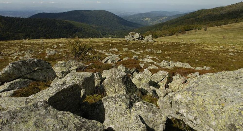
– Granitic chaos at Pré-Daval.
– View of the Fossat and Reblats valleys.
– Jasseries (high-altitude shelters in the Forez mountains).
– Peat bog.
– Heath with callunes (heather) and bilberries.
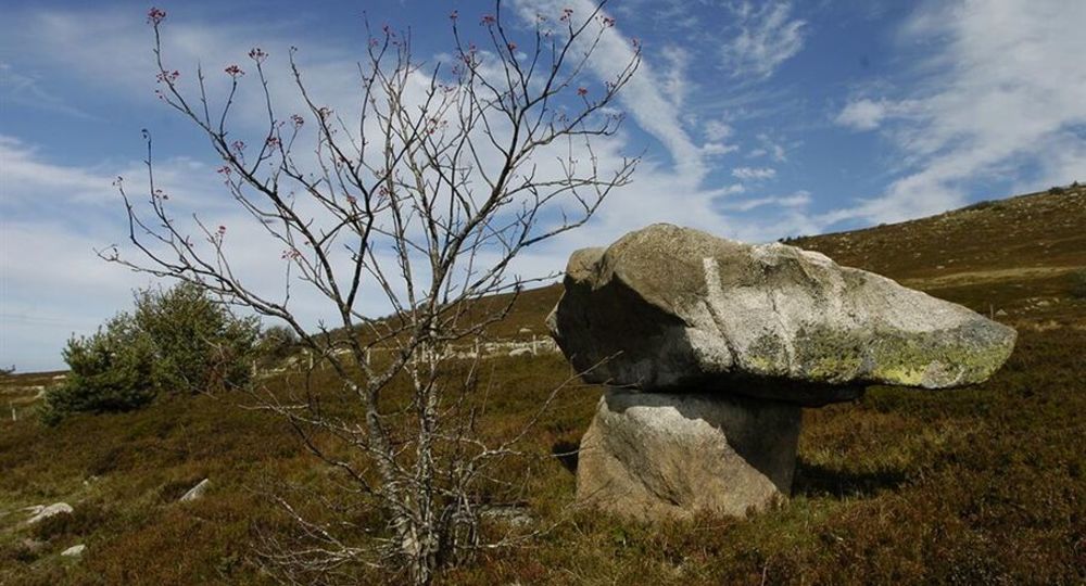
– The Pause rocks and view of Pierre-sur-Haute.
– Panoramic view of the Chaîne des Puys and the Sancy massif.
– Le Fossat valley.
Guidebook with maps/step-by-step
Step 1 : In the hairpin bend on the D255, 1 km after the Col de Chansert, at Pré-Daval (granite chaos), follow the track into the valley. At the jas du Fossat, take the path opposite along the ruisseau de Vertolaye. As you cross the stream, follow the path to the right, which climbs steeply through the undergrowth. Keep to this path, cross the stream and reach the Fossat cross (view of the Fossat and Reblats valleys).
Step 2 : Take the right-hand path along the fence. Take the stepladder to enter the park (jasseries on the left) ; go straight up to cross a second one. At the ruined jas, continue to the right ; cross a peat bog and continue into callune and bilberry moorland.
Step 3 : At the Pause rocks (view of Pierre-sur-Haute to the right), go straight down. Pass another stepladder and continue along a path to the right (view of the Chaîne des Puys and the Sancy massif to the left). At the edge of the wood, pass the stepladder and go down the forest track opposite.
Step 4 : At the end of a bend to the left, on the level, take a path to the right leading down into the forest (caution, uneven terrain). Keep to the more marked path plunging into the valley. Pass under a rocky outcrop, cross the footbridge and join the same track as before ; follow it to the left to get back to the starting point.
Proposed and managed by the Conseil départemental du Puy-de-Dôme – PDIPR.
Opening hours
From 01/01 to 31/12 daily.
Subject to favorable weather.
Comfort, facilities and services
- Pets welcome
Additional information
For your own safety, always take a bottle of water, a hat, warm clothing and footwear suitable for walking.
Depending on weather conditions, certain itineraries are not recommended in bad weather (fog) or are not practicable, or even forbidden, during the winter season.
Some sites are fragile, so stay on the marked trails. Avoid picking wild flowers and disturbing wildlife. Pick up your garbage.
Animals are not allowed on some routes.
Dogs allowed Dogs must be kept on a leash due to the presence of herds.
Environment
Forest location, Mountain location, Overview on river, Presence of livestock and guard dogs
Access
From the village of Job, turn left on the D66 (towards St-Pierre-la-Bourlhonne), then right on the D255 (towards Col du Chansert). At Col du Chansert, continue on the D255 for 1 km. At Pré-Daval, beside a granite chaos.
Photo credits : Carlos Da Costa, Carlos Da Costa
 Updated on 2 July 2026 by Conseil départemental du Puy-de-Dôme