
The Madet Valley
Égliseneuve-près-Billom
 Dogs allowed
Distance 8Km
Duration 2h30
Hiking route BOUCLE
Marking Yellow
In pictures

Route description
A bucolic atmosphere for this itinerary over meadows brimming with periwinkle in spring, alternating between cool valleys with their spinning wheels, sunny slopes and views of Montmorin castle, the Chaîne des Puys and the Puy de Sancy.
Trail highlights
– Views of the Château de Montmorin, the Chaîne des Puys and the Puy de Sancy.
– Periwinkle meadows in spring.
– Lavoir des Pierrys.
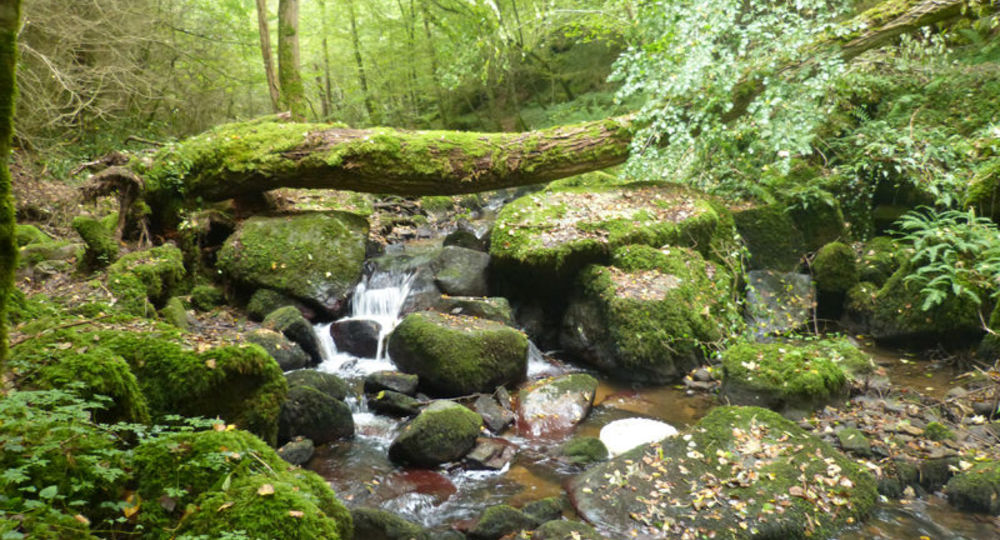
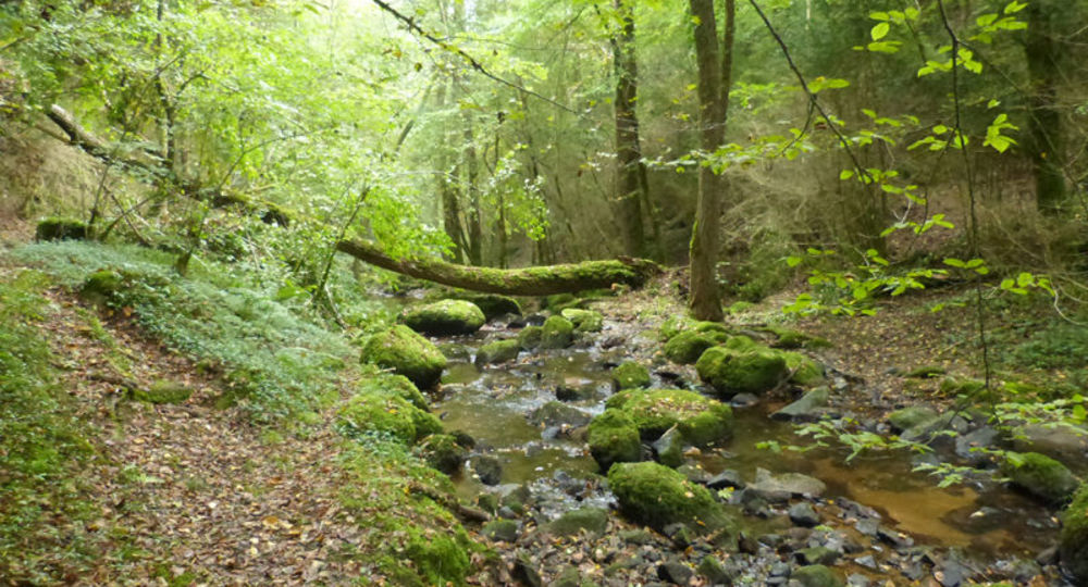
– The Madet valley and its stream.
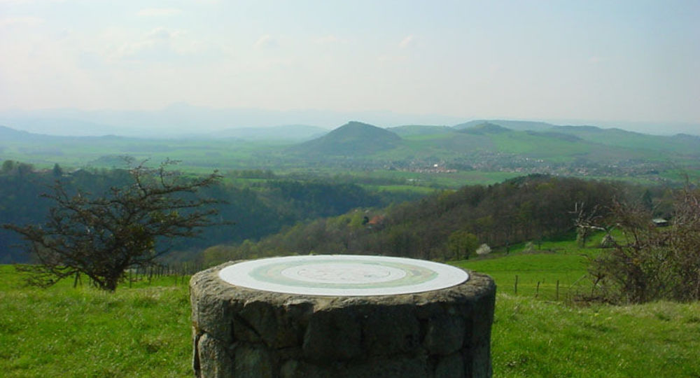
– The Butte de Méraille, with an orientation table : 360° views of the Châteaux de Ravel, Mauzun and Montmorin, the Monts Dore, Monts Dôme, Monts du Forez and Pierre-sur-Haute.
Guidebook with maps/step-by-step
Step 1 : In the valley, just before the farm, cross the bridge on the left and continue along the path that climbs to the left. At the intersection, take the path perpendicular to the right. Stay on this path all the way to Arlanges (view of Mauzun Castle). In the hamlet (winegrowers’ houses), continue along the road (views to the right of the Madet Valley, the castles of Coppel, Busséol, and Montmorin, Puy St-Romain, the Chaîne des Puys, Clermont-Ferrand, Billom, and the two Turlurons).
Step 2 : 150 m before Le Pereyret, leave the road and turn right onto a path that descends between two fences. Continue along this same path through the woods (rock shaped like a chair).
Step 3 : At the next intersection, head down to the right onto a barely visible, maintained path (log stairs : dangerous descent in wet weather). Stay on this same path all the way to the stream, then turn left.
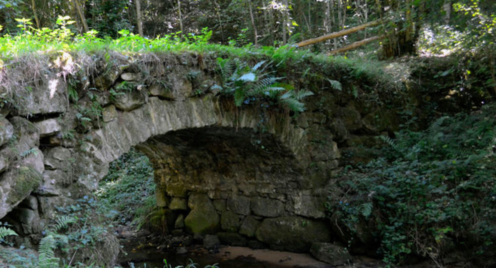
Step 4 : Cross the Madet Creek via the footbridge ; follow the path uphill to the left.
Next step
Step 5 : At the Y-junction, head down to the left toward the Madet. At the mill ruins, take the trail to the right. Climb past a rocky section, then at the Y-junction, turn left to descend back down to the river (there is a paved descent on the right, but the stairs are slippery in wet weather) and follow the stream. Below the ruined tower, at the fork, take the path—which is sometimes paved—that winds upward to the right, and stay on this same path.
Step 6 : At the first houses in Les Loubatoux, take the path on the right that goes uphill ; at the road, continue straight ahead to enter the hamlet ; turn right. Take the D 307 to the right.
Step 7 : Follow the first path on the right (view of the Chaîne des Puys and the Sancy Massif). At the intersection (view of the Madet Valley across the way), continue climbing to the left (at the top of the hill on your left : panoramic view and orientation table). Continue on the same path, then at the intersection, turn left until you reach the D 307. Take it to the right until you reach the village of Train (a wine-growing village), and continue on the same road back to the starting point.
Opening hours
From 01/01 to 31/12 daily.
Subject to favorable weather.
Comfort, facilities and services
- Pets welcome
Additional information
For your own safety, always take a bottle of water, a hat, warm clothing and footwear suitable for walking.
Depending on weather conditions, certain itineraries are not recommended in bad weather (fog) or are not practicable, or even forbidden, during the winter season.
Some sites are fragile, so stay on the marked trails. Avoid picking wild flowers and disturbing wildlife. Pick up your garbage.
Animals are not allowed on some routes.
Dogs allowed Dogs must be kept on a leash due to the presence of herds.
Environment
In the country, Forest location, Presence of livestock and guard dogs
Access
At Égliseneuve, take the D306 towards “La Jonchère”. At the crossroads, turn off the D997. Go straight on towards “Les Pierrys”. After 1 km, park
before the Pincoux and Train crossroads, in the parking lot on your left.
Photo credits :
 Updated on 2 July 2026 by Conseil départemental du Puy-de-Dôme