
The Artout circus
Anzat-le-Luguet
 No dogs allowed
Distance 7.5Km
Duration 2h45
Hiking route BOUCLE
Marking Yellow
In pictures
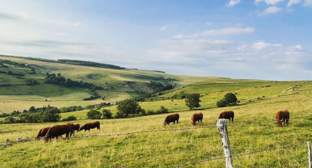
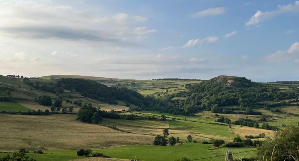
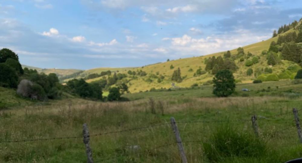
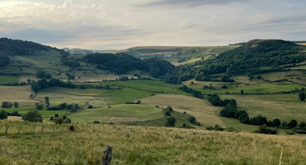
 Visitor alert
Not recommended in foggy or damp weather.
Route description
One of the most beautiful hikes in the department, winding through the glacial cirque of Artout and the sumptuous, wild and authentic landscapes of the Cézallier. Not to be missed !
Guidebook with maps/step-by-step
Step 1 : From the start sign, with your back to the chapel, find a narrow passage between a wall and a stable about 30 m to the right, at the corner of the dry-stone wall. Enter this passage and, rising between houses and gardens, reach a road. Cross the road and take the path on the left, sloping upwards towards the pastures. When you come to a crossroads, take the one opposite (view of the Artout valley). After 400 m, turn right at the plateau and follow the path to a stepladder.
Step 2 : Cross the stepladder and follow the fence to the right, until you reach another stepladder. Just after the water catchment enclosure, go around a series of wetlands from above, then rejoin the fence and cross a third stepladder (panoramic view from the Sancy to the Margeride). From the point where the fence forms a right angle, descend a steep slope to the right alongside the fence, cross a small stream and, still close to the fence, climb up to a stepladder. Cross it, turn left and walk along the fence for a few metres until you reach a faint path on the right, plunging into the forest.
Step 3 : Carefully follow this path as it winds steeply downhill (remarkable trees). At the end of the descent, take the road to the right for 100 metres. Turn left onto a path up to a stepladder. Cross the stepladder, immediately turn right and, ten metres further on, left. Reach the hamlet of Artout and continue straight ahead on the path for 400 metres until you reach an intersection.
Step 4 : Turn right onto the track which, after crossing the streams, climbs up to the road (D721). Cross the road and take the stony track opposite, which runs through Le Luguet. Continue between houses, ignoring two streets on the left. At the fork in the road, turn right and head downhill towards the chapel. At the chapel, turn right to return to the starting point.
Proposed and managed by the Conseil départemental du Puy-de-Dôme – PDIPR.
Opening hours
From 01/01 to 31/12 daily.
Subject to favorable snow and weather conditions.
Additional information
For your own safety, always take a bottle of water, a hat, warm clothing and footwear suitable for walking.
Depending on weather conditions, certain itineraries are not recommended in bad weather (fog) or are not practicable, or even forbidden, during the winter season.
Some sites are fragile, so stay on the marked trails. Avoid picking wild flowers and disturbing wildlife. Pick up your garbage.
Animals are not allowed on some routes.
Environment
In the country, Mountain view, Presence of livestock and guard dogs
Access
Reach the hamlet of Le Luguet, 76km south of Clermont-Ferrand. At Le Luguet, leave the D721 near the chapel, pass in front of it, then drive along it to reach the parking lot. The starting sign is located near the chapel, along a dry-stone wall.
Downloadable :
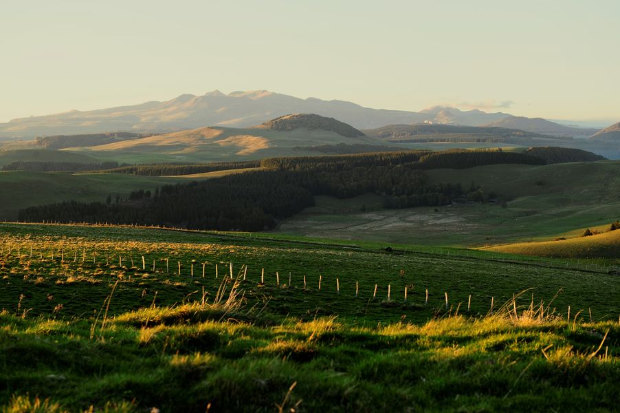
Photo credits : Marlène Gaydier, Marlène Gaydier, Marlène Gaydier, Marlène Gaydier
 Updated on 29 May 2026 by Conseil départemental du Puy-de-Dôme