
The Jasseries peddler
Valcivières
 Dogs allowed
Distance 9.5Km
Duration 3h00
Hiking route BOUCLE
Marking Yellow
In pictures

Route description
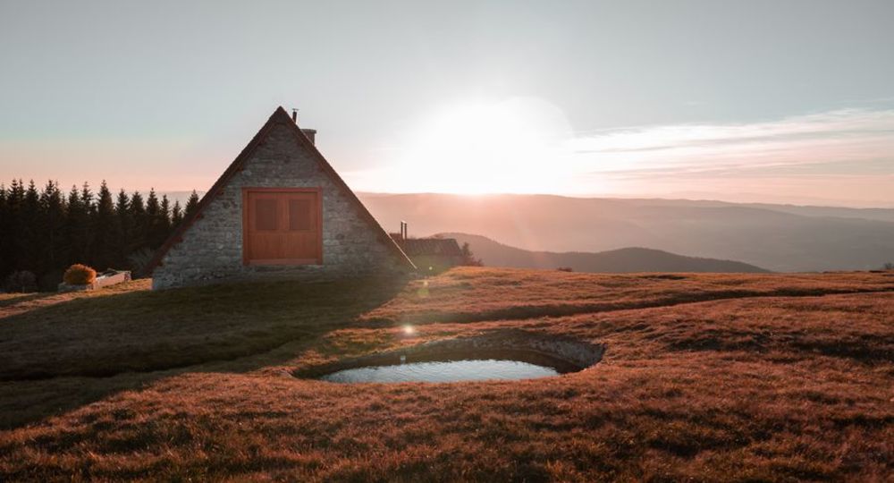
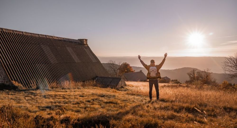
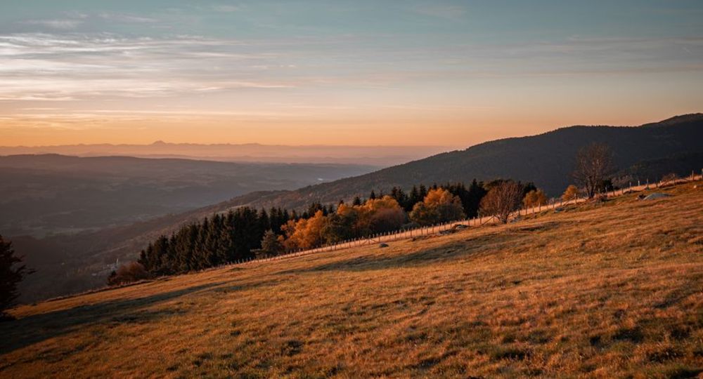
One of the most beautiful itineraries in the Livradois-Forez region. From the Col des Supeyres, the route leads over the Allebasses, covered by moorland, heather and short grass. A land of summer pastures and life in the jasseries where fourme cheese is made.
Trail highlights
– Col des Supeyres (alt. 1,366 m).
– View over the upper Ance valley, Pierre-sur-Haute and all the Auvergne mountains.
– Thatched former jasseries at Balayoux, Supeyres, Grand-Genévrier and Coq-Noir.
– The Pialoux milestone.
– Peat bogs.
– Nearby : producer of fourmes d’ambert and Richard-de-Bas museum.
Guidebook with maps/step-by-step
Step 1 : At the end of the parking lot on the way up to the pass, turn right after a pond, then immediately left onto a track which runs alongside the road (1st break). Go straight up and the track turns right. At the next two crow’s feet, take the right-hand path. At the edge of the beech grove, take the path down to the left. At the intersection, take the left-hand track down to the Supeyres jasseries (2nd break). Continue on this track.
Step 2 : At the 3rd break, the track climbs towards another jasserie. Follow the track to the renovated jasserie. Pass a pond on the right and take a grassy path leading to a new jasserie. Turn right just 20 m before it. Take a larger track to the left, leaving it 100 m ahead, and turn right onto a grassy path. It leads to a spruce wood.
Step 3 : At the Pialoux milestone, follow the edge of the spruce wood, then cut a good track. 200 m after the 4th break, go down the grassy track on the left. At the confluence of the waters, take a path on the left, before finding a more marked path on the right. It curves around a bend and skirts the Balayoux wood, then gradually moves away from it. You’ll find the 5th break.
Step 4 : At the intersection, turn right onto a track. At the second bend, go straight ahead on the grassy path (6th break). Descend to the right at the jasserie. Cross a stream and stay on the sunken track : you’ll pass behind another jasserie. Go left up to the Grand Genevrier jasseries. Cross the hamlet and reach the 7th break.
Next step
Step 5 : At the Grand Genévrier parking lot, turn left up the D106. Take a small path on the left alongside the road. Follow this for about 450 m, then turn left onto the path. Turn right onto the first grassy path. Go straight on until you reach the D106. Cross the road to take the path leading down to the right. Keep to this path until you reach the D106. Turn right up to the pass.
Proposed and managed by the Conseil départemental du Puy-de-Dôme – PDIPR.
Opening hours
From 01/01 to 31/12 daily.
Subject to favorable weather.
Comfort, facilities and services
- Pets welcome
Additional information
For your own safety, always take a bottle of water, a hat, warm clothing and footwear suitable for walking.
Depending on weather conditions, certain itineraries are not recommended in bad weather (fog) or are not practicable, or even forbidden, during the winter season.
Some sites are fragile, so stay on the marked trails. Avoid picking wild flowers and disturbing wildlife. Pick up your garbage.
Animals are not allowed on some routes.
Dogs allowed Dogs must be kept on a leash due to the presence of herds.
Environment
Mountain view, Mountain location, Presence of livestock and guard dogs
Access
Col des Supeyres (Valcivières, 20 mins from Ambert).
Photo credits : Alba photographie/ Axelle Dumas, Alba photographie/Axelle Dumas, rando_colporteur_jasseries ALBA PHOTO Axel Dumas, rando_colporteur_jasseries ALBA PHOTO Axel Dumas
 Updated on 2 July 2026 by Conseil départemental du Puy-de-Dôme