
Great Tour Between puys and couze
Champeix
 Dogs allowed
Distance 29Km
Duration 9h00
Hiking route BOUCLE
Marking Magenta

In pictures



 Visitor alert
ATTENTION – The list of accommodations is currently being updated.
Route description
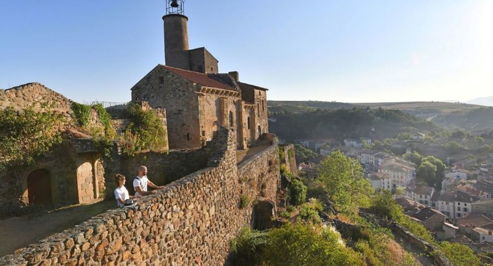
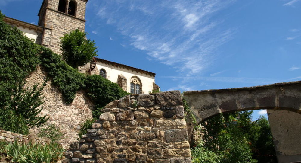
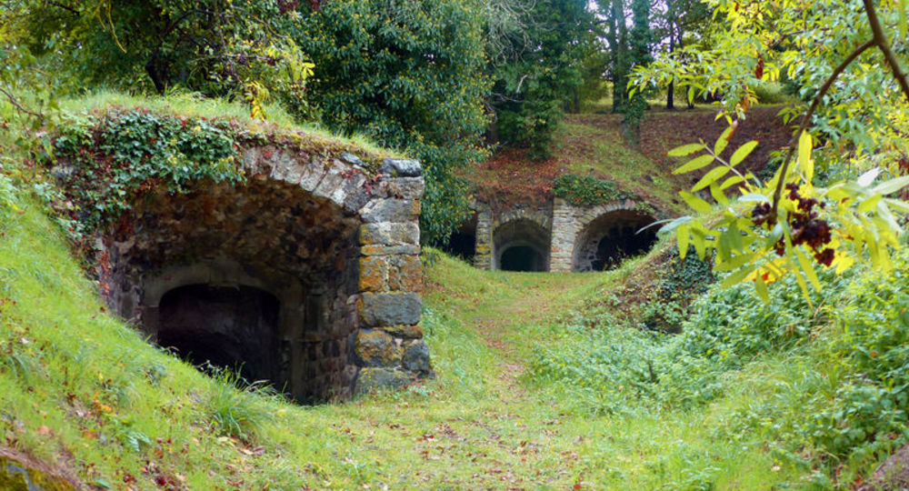
The hike begins in Champeix, a village overlooked by its Marchidial and its pretty alleys. The hiker explores the old Saint-Nectaire maturing cellars dug into the rock. This tour is punctuated by panoramic views.
Trail highlights
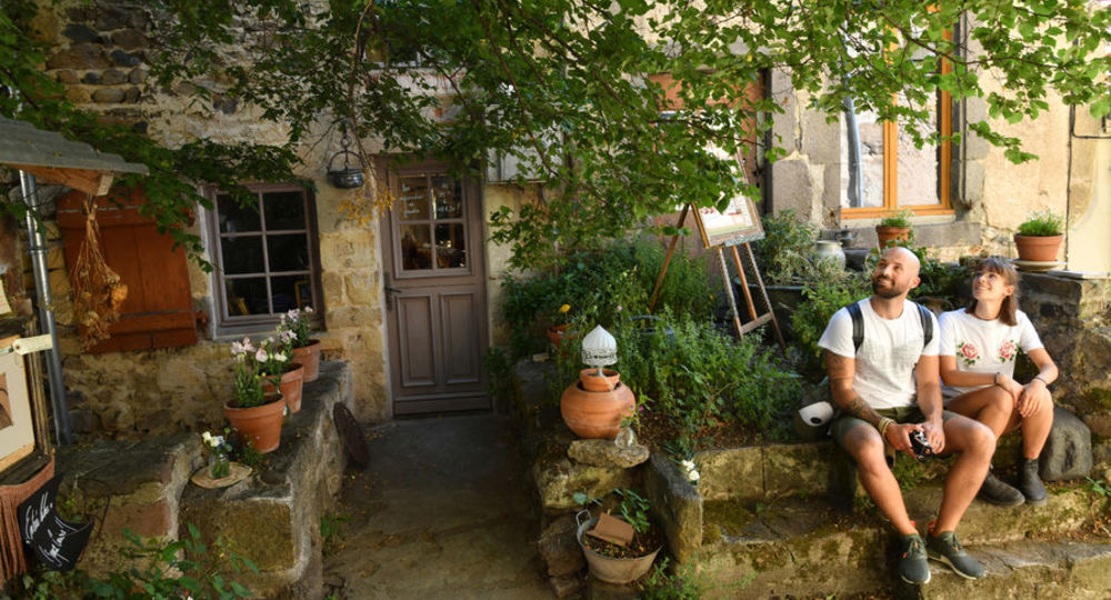
– Champeix, a village overlooked by its Marchidial and its pretty little streets.
– La couze Chambon.
– Montaigut-le-Blanc then Saint-Julien, to explore the old Saint-Nectaire cheese-ageing cellars carved out of the rock.
– View of the Rognon tower and the Sancy massif.
– Views of Cézalier, Forez and the Limagne plain.
– Landscape interspersed with rocky peaks and valleys.
Guidebook with maps/step-by-step
Step 1 : Start at Place de la Mairie in Champeix. Walk alongside the town hall and cross the street. Cross the bridge (D28) over the couze Chambon and turn right into rue des Moulins. Go up and fork left towards the château. Continue along rue de la Roche then place du Marchidial. Go straight up and turn right onto chemin de Tourouze. Turn right at the crossroads and right again at the next junction. Continue along the couze to Montaigut-le-Blanc. Turn right over the bridge and cross the D 996.
Step 2 : Turn right and after 10 m, turn left into rue du Grand Chemin, then take the steps. Turn left ; at the fork in the road, go left and turn right into chemin des Caves. Go straight ahead, join a road and follow it to the left. Leave the road at a bend to take a wide path (view of the Rognon tower and the Sancy massif). Climb up to the Chazoux war memorial.
Step 3 : Fork right onto a track leading up to the Pinière plateau and continue along the edge (panorama) as far as a gate. Continue straight ahead on a path which then veers left. Go down into the woods and then along the track to a road. Turn right, pass the Champeix junction and follow the road to the left, below the road.
Step 5 : Take this path, cross the Gourdon bridge and continue to the road. Follow it to the right and take the first track on the right. Go through the village and up to the right. On the plateau, fork right towards Puy de la Rodde (views of the Cézallier, Forez and Limagne plains). At the T-junction, turn right and, at the next one, go right down into the undergrowth. Follow a path through the pastures. At the crossroads, turn right, then left, as far as the cemetery.
Next step
Step 6 : Pass the cemetery, turn left and climb up to a road. Follow it to the left and head for the cellar site. Go straight through the village of Saint-Julien (towards Ludesse) and turn right onto rue de la Bugette. Go straight up ; at the crossroads, turn right and at the end of the hill, go right. At the fork in the road, turn right and continue until you reach a T-junction.
Step 7 : Turn left and, at the fork, go right to a road. Go straight on until you reach a fork. Turn right. At the top of the hill, take the track on the right and follow it to a fork ; go down to the right and at the crossroads, turn right, then left at the next crossroads. At the crossroads, turn left to reach a small road. Follow it to the right and, after passing between boulders, turn left onto a path to descend to the starting point.
Proposed and managed by the Conseil départemental du Puy-de-Dôme – PDIPR.
Opening hours
From 01/01 to 31/12 daily.
Subject to favorable weather.
Comfort, facilities and services
- Pets welcome
Additional information
For your own safety, always take a bottle of water, a hat, warm clothing and footwear suitable for walking.
Depending on weather conditions, certain itineraries are not recommended in bad weather (fog) or are not practicable, or even forbidden, during the winter season.
Animals accepted : dogs must be kept on a leash due to the presence of herds.
Stay on marked trails.
Respect private property.
Bring a garbage bag to dispose of picnic, snack or other waste.
Do not disturb wildlife.
Don’t pick flowers : many are protected (even those that seem very ordinary or common).
Dogs allowed Dogs must be kept on a leash due to the presence of herds.
Environment
Mountain view, Panoramic view, Presence of livestock and guard dogs
Access
From Clermont-Ferrand, take the A75 towards Issoire.
Take exit n°6 Champeix / Besse. Follow signs for Champeix.
Downloadable :
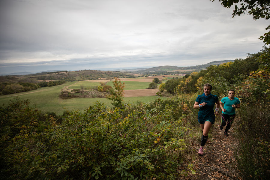
Photo credits : CD63/Joël Damase, CD63 / J. Damase, CD63 / Aurélia Peronnet, CD 63 / J. Damase, Conseil départemental du Puy-de-Dôme, Conseil départemental du Puy-de-Dôme, Conseil départemental du Puy-de-Dôme
 Updated on 29 May 2026 by Conseil départemental du Puy-de-Dôme