
Lake Servières
Orcival
 Dogs allowed
Distance 2Km
Duration 0h50
Hiking route BOUCLE
Marking Blue
In pictures

Route description
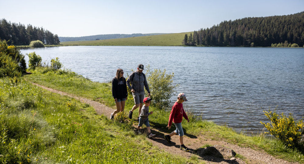
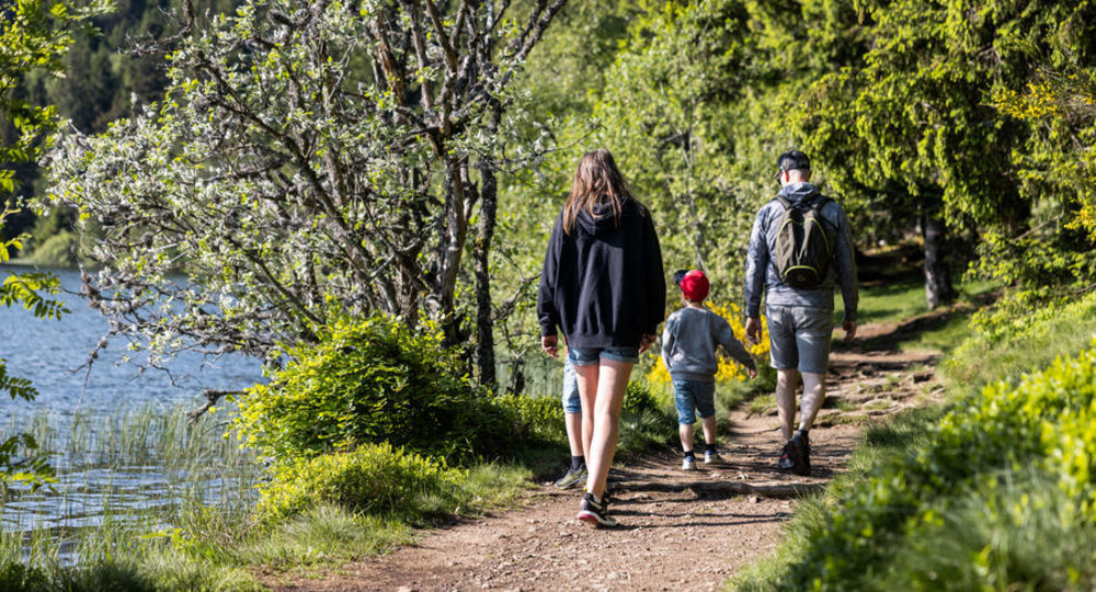
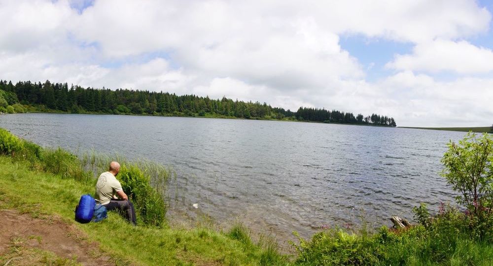
The tour of Lac de Servières, a volcanic maar at an altitude of 1,200 m, is ideal for a relaxing family break or picnic by the lake (swimming and fires prohibited). The scenery is ideal for contemplation.
Trail highlights
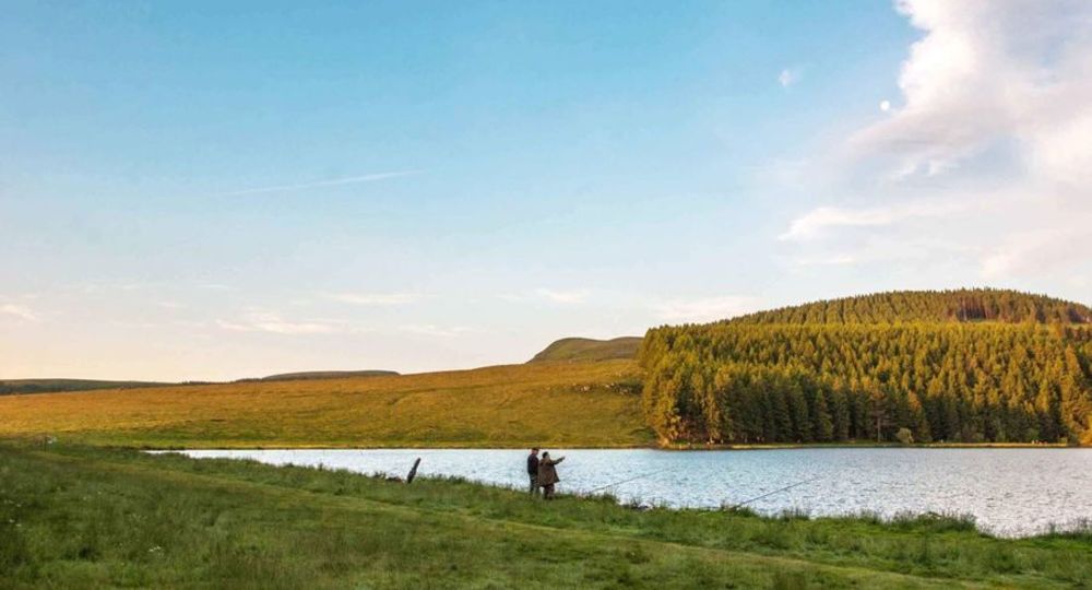
– Lac de Servières, of volcanic origin, lies at an altitude of 1,202 m, and is the mother branch of the Sioule river, which originates here. It forms a circular lake 26.5 m deep and covers 15 hectares, surrounded by spruce-pine woods and pastures. Its crystal-clear waters make it one of the department’s favorite fishing spots (volcanic crater lake).
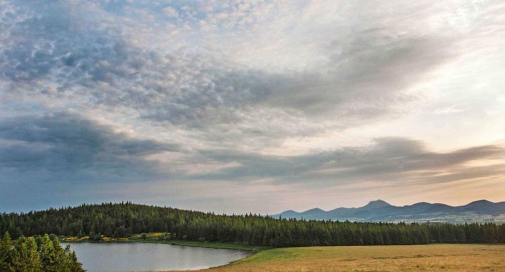
– Panoramic view of the Dore mountains.
Guidebook with maps/step-by-step
Step 1 : From the start sign, take the right-hand path.
Step 2 : At the crow’s-foot, go left. Then ignore all the left-hand paths and walk along the lake.
Step 3 : At the protection gates, leave the peat bog on the right (information panel). Continue along the lakeshore.
Step 4 : At the end of the loop, turn left and return to the start.
Proposed and managed by the Conseil départemental du Puy-de-Dôme – PDIPR.
Opening hours
From 01/01 to 31/12 daily.
Subject to favorable weather.
Comfort, facilities and services
- Pets welcome
Additional information
For your own safety, always take a bottle of water, a hat, warm clothing and footwear suitable for walking.
Depending on weather conditions, certain itineraries are not recommended in bad weather (fog) or are not practicable, or even forbidden, during the winter season.
Some sites are fragile, so stay on the marked trails. Avoid picking wild flowers and disturbing wildlife. Pick up your garbage.
Animals are not allowed on some routes.
Dogs allowed Dogs must be kept on a leash due to the presence of herds.
Environment
Mountain location, Presence of livestock and guard dogs
Access
South of Clermont-Ferrand, take the D2089 towards Bordeaux to Randanne. Turn left (D983) to the gîte d’étape du lac de Servières. Parking on the left, opposite the gîte.
Downloadable :
You might also like…
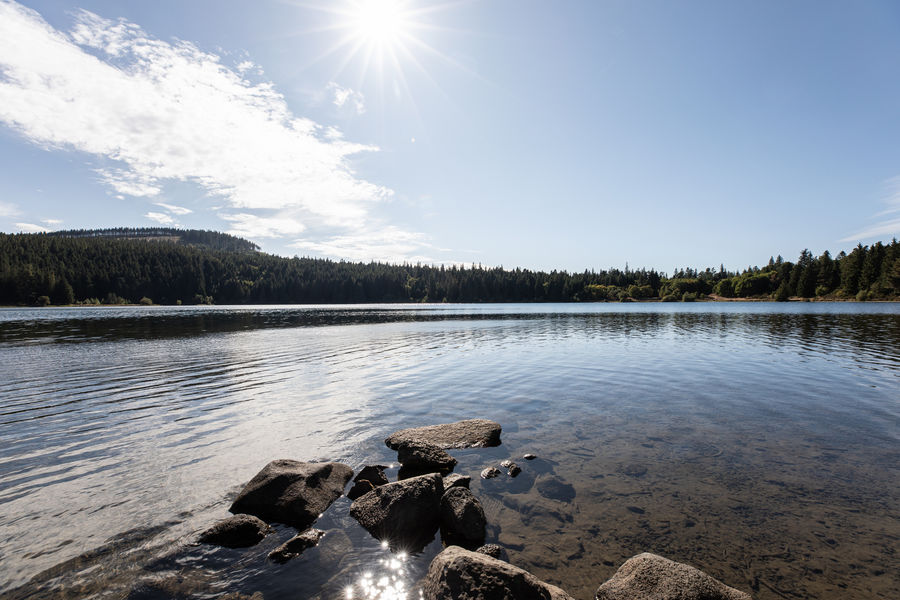
Photo credits : D.Gonthier-OT AVS, D.Gonthier-OT AVS, CD63/David Frobert, CD63/Francis Cormon, CD63/A.Péronnet, CD63/A.Péronnet
 Updated on 29 May 2026 by Conseil départemental du Puy-de-Dôme