
The Peak of Brionnet
Saurier
 Dogs allowed
Distance 9.5Km
Duration 3h00
Hiking route BOUCLE
Marking Yellow
In pictures
Route description
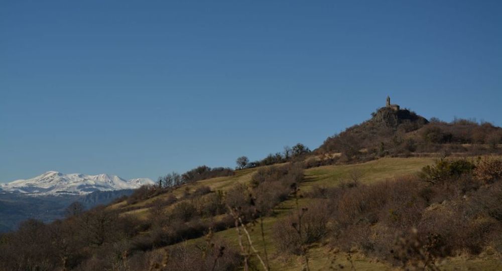
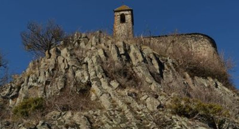
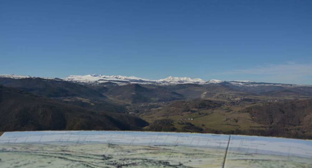
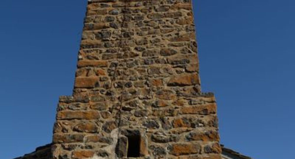
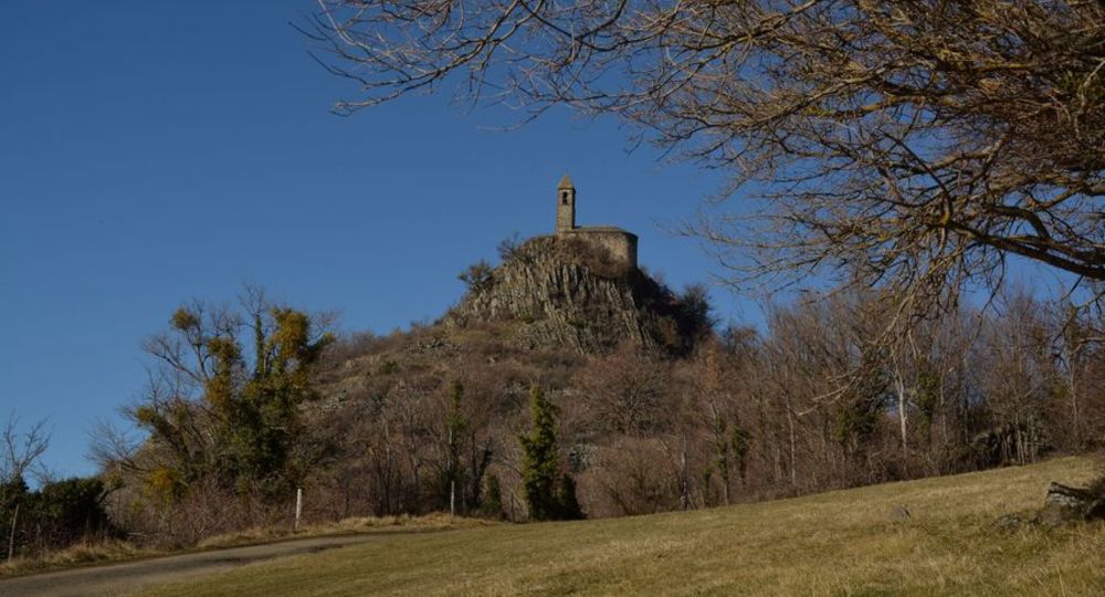
Overhanging 927 m from Saurier and Courgoul, the volcanic peak of Brionnet offers hikers a panoramic view of the couzes and massifs with an orientation table and an access to a romanesque chapel built on basalt organs.
Starting point – From the starting sign located in front of the Town Hall, go up the main street to the Place de la Porte Neuve (gate of the old fortified town). Turn left on the D146 towards Brionnet. At the exit of Saurier, in the bend, go up the(…)
Trail highlights
– Saurier : ruins of a fort (15th-century fortified castle) ; a medieval bridge (15th century) with three unequal arches, topped by a small oratory ; the Maison du Louvetier (15th and 16th centuries) ; castle (15th–18th centuries), Sainte-Radegonde Church (11th–15th centuries), Pic de Brionnet (traces of a moat, Notre-Dame-du-Mont-Carmel Chapel with a 16th-century statue of the Virgin Mary).
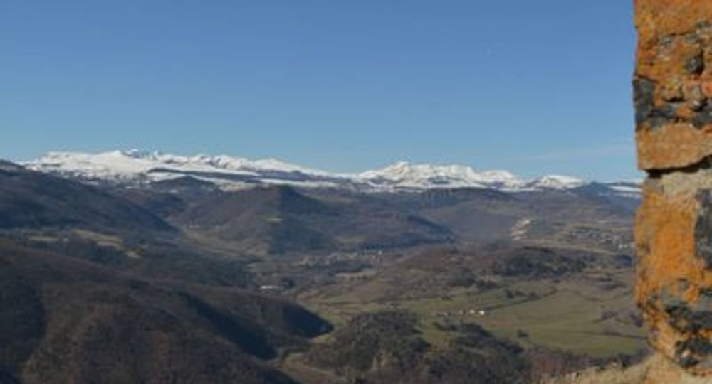
– View of the Couze Pavin Valley and the Sancy Massif.
Guidebook with maps/step-by-step
Step 1 : From the starting sign, across from City Hall, turn right and walk to the medieval bridge. Do not cross it ; instead, walk along the Couze River to the left, take Rue des Caves, then take the first street on the right. Continue to Place de l’Eglise, then Place de la Fontaine, and take Rue du Louvetier directly across the square. Pass under an archway (the gate to the old fortified town) and continue along Place de la Porte Neuve until you reach the main street. Turn right onto it, then turn left onto the D146 toward Brionnet. As you leave Saurier, at the bend, take the trail on the right up to the road.
Step 2 : Cross the road and continue on the path opposite until you reach the hamlet of Rozier.
Step 3 : Turn left, cross the hamlet (view of the Couze Pavin Valley, the village of Creste, and its ruined castle), and after 800 m, take the first path on the right up to a paved path that leads to the road.
Step 4 : Follow this road uphill, then in the village of Brionnet, take the first paved road on the right. At the top of the hamlet, turn right onto the sunken path and continue to the road. Cross the road and take the narrow path that rejoins it. Continue climbing to the pass.
Next step
Step 5 : Turn right and follow the path, then the trail, to the summit of Pic du Brionnet (Notre-Dame du Mont Carmel Chapel built on basalt columns, 360° panoramic view, orientation table).
Step 6 : Return to the pass (point 4) and descend the sunken path to the right. Pass in front of the Lagouzoux farm (view of the Sancy Massif). Continue to the road (hairpin curve).
Step 7 : Walk down the road for 80 m. Take the first path on the left below the road and turn left again 80 m further on. Reach the road and follow the path on the left to rejoin the outbound route to the D26. Cross the road and head right to return to the starting point.
Opening hours
From 01/01 to 31/12 daily.
Subject to favorable weather.
Comfort, facilities and services
- Pets welcome
Additional information
For your safety, always bring a bottle of water, a hat, warm and rain-proof clothing, and wear shoes suitable for walking.
Depending on weather conditions, some trails are not recommended in bad weather (fog) or are impassable—or even off-limits—during the winter season.
Some sites are fragile ; please stay on the marked trails. Avoid picking wildflowers and disturbing wildlife. Pick up your trash.
On certain trails, animals are not allowed.
Dogs allowed Dogs must be kept on a leash due to the presence of livestock.
Environment
Mountain view, Mountain location, Presence of livestock and guard dogs
Access
In Champeix, turn left onto the D28 toward Clémensat / Saint-Floret. In Saint-Floret, take the D26 to Saurier. Parking is on the left after the bridge over the Couze River.
Downloadable :
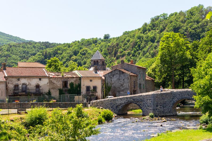
Photo credits : CD63 / C.Bachelerie, CD63 / C.Bachelerie, CD63 / C.Bachelerie, CD63 / C.Bachelerie, CD63 / C.Bachelerie, CD63 / C.Bachelerie
 Updated on 9 March 2026 by Conseil départemental du Puy-de-Dôme