
The Puy of Gourdon
Ludesse
 No dogs allowed
Distance 10Km
Duration 3h00
Hiking route BOUCLE
Marking Yellow
In pictures
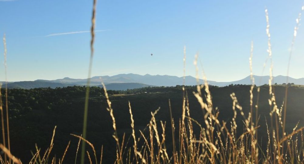
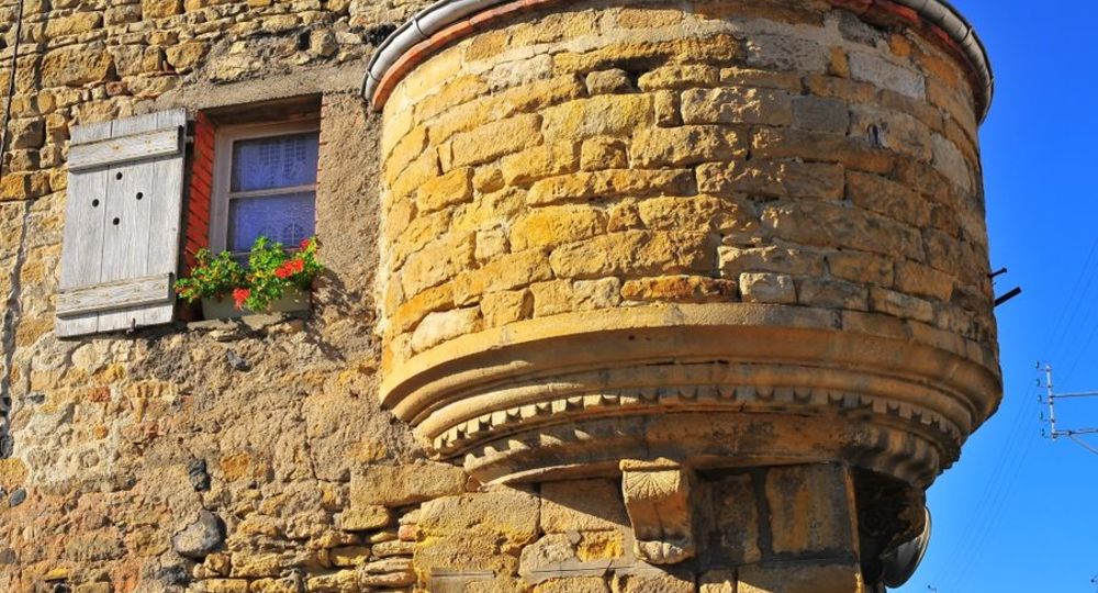
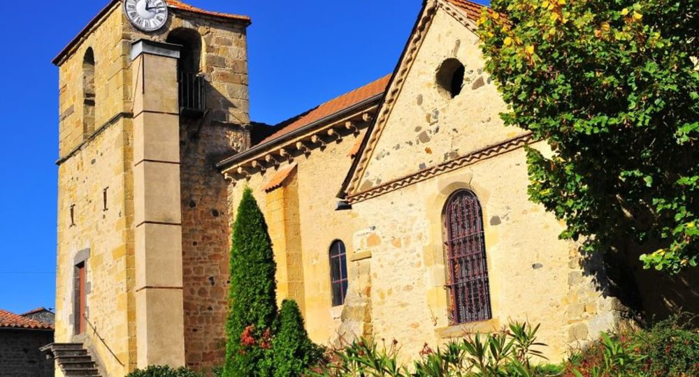
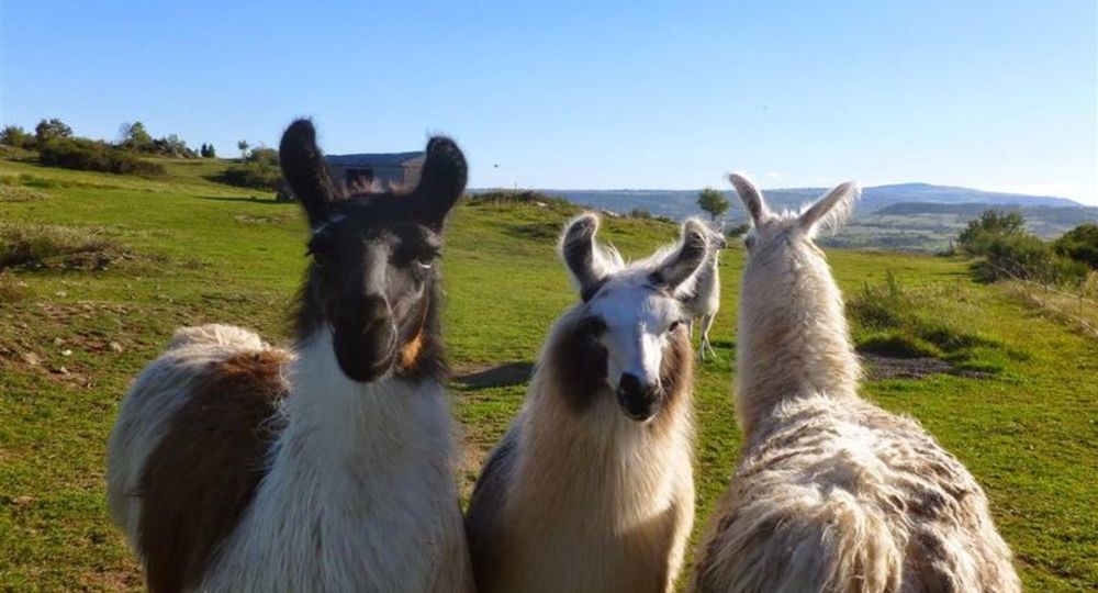
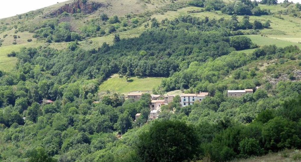
Route description
We are following the footsteps of the templars who took refuge at the Olloix commandery at the time when Auvergne was one of the main territories of the Order of Hospitallers of Saint John of Jerusalem. Superb views, crosses, bridges, megaliths….
Starting point – From the starting sign, go down towards the village of Chaynat. At the first fork, continue to the right. On the village square, turn right towards the rue du Four à pain until you reach the fountain.
1 – Turn left onto Chemin de Gourdon(…)
Trail highlights
– Menhir des Deux Territoires.
– Puy de Gourdon : distant circular view.
– Church and commandery (15th century).
Guidebook with maps/step-by-step
Step 1 : From the start sign, head downhill towards the village of Chaynat. Turn right at the first fork. At the village square, turn right into rue du four à pain as far as the fountain.
Step 2 : Turn left onto the Chemin de Gourdon and continue uphill for about 500 m, until you reach an intersection.
Step 3 : Take the right-hand track. At the T-junction, go left. At another T-junction on the flat, turn right and continue for 50 m (Menhir des Deux Territoires), until you reach a fork.
Step 4 : Bend right. At the next track, turn left for 300 m, then left again and continue to a crossroads 300 m further on.
Next step
Step 5 : Climb the wide grassy path to the right and back to the summit of Puy de Gourdon (from the summit, a distant circular view). Back at point 4, continue along the path to the right. On the descent, the path bends to the left before reaching a T-junction near a farm building. Turn left and follow this main path back to point 3. Keep right, heading east-west for 500 m. The path then bends sharply to the left. Continue straight on, reaching point 2 and continuing to the fountain in Chaynat. Follow the road to the right (D74, route de Ludesse) to pass below the church (church and commandery, 15th century). Stay on the road towards Saint-Saturnin. As you leave the village, turn left into rue des Avats, which runs alongside the château grounds, before heading straight back up to the tour’s starting point.
Proposed and managed by the Conseil départemental du Puy-de-Dôme – PDIPR.
Opening hours
From 01/01 to 31/12 daily.
Subject to favorable weather.
Additional information
For your own safety, always take a bottle of water, a hat, warm clothing and footwear suitable for walking.
Depending on weather conditions, certain itineraries are not recommended in bad weather (fog) or are not practicable, or even forbidden, during the winter season.
Some sites are fragile, so stay on the marked trails. Avoid picking wild flowers and disturbing wildlife. Pick up your garbage.
Animals are not allowed on some routes.
Environment
In the country
Access
From the A75, exit n°5, follow signs for Aydat then Saint-Saturnin and head for Ludesse on the D28.
Downloadable :
Photo credits : N. Dutranoy, Pays d’Issoire
 Updated on 29 May 2026 by Conseil départemental du Puy-de-Dôme