![]()
Le puy de Neuffont
Bromont-Lamothe
 Dogs allowed
Distance 15Km
Duration 4h30
Hiking route BOUCLE
Marking Green
In pictures
Route description
A walk in the Combrailles to discover the Puy de Neuffont – 964 m.
Trail highlights
– The puy of Neuffont.
– The Faye pond.
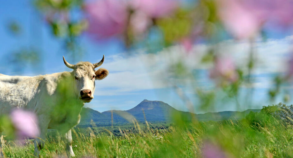
– View of the Chaîne des Puys and the Sancy massif.
Guidebook with maps/step-by-step
Step 1 : Opposite the start sign, follow the road for 700 m between meadow and forest. Take the first track on the left, ignoring a track on the right. At the crossroads, turn right towards Deyrand. After 150 m, turn left onto a track. Continue straight on for 200 m to an intersection.
Step 2 : Turn left onto a grassy path between fences to the road. Follow the track opposite. Leave two tracks on your right. At the road, continue on the track opposite (view of the Chaîne des Puys and the Sancy massif). At the bottom of the descent, turn right to reach an intersection.
Step 3 : Climb the asphalt track on the left and take the first track on the right (panoramic view). In the hamlet, go as far as the first crossroads.
Step 4 : Turn left onto Route du Château for 50 m and take the track on the right. At the road, turn left and follow route de Neuffont. Take the first left after the bridge. Take the next track on the left. At the edge of the forest, follow the main path to the right, ignoring all side paths. Continue until you reach a crossroads just before the road.
Next step
Step 5 : Turn left onto the track. Ignore the adjacent paths (view of the Chaîne des Puys and the Sancy massif). The track continues onto a tarmac road (view of volcanoes, Cheires, Pontgibaud château). After the asphalt section, turn right. Continue straight on towards the village of Roure, following the Rue des Fromentaux (water troughs, wash-houses, communal ovens). At the end of the village, take the road on the left for 150m. Go left down a track for 350m to the intersection with a path on the right.
Step 6 : Go downhill. Cross a stream. At the fork in the road, turn right. Follow the buildings of the Rosiers mine (former silver-lead ore extraction center, now a silver mining museum in the Château de Pontgibaud). Follow the road. At the crossroads, turn left as far as the crossroads.
Step 7 : Turn right, climb the track on the left, continue along the road (panoramic view), ignoring the adjacent tracks. When you reach the houses, turn left onto the grassy path at the edge of the forest. At the end of the forest edge, turn right towards the road and the starting point.
Proposed and managed by the Conseil départemental du Puy-de-Dôme – PDIPR.
/* col-6_sm-12 */ ?>
Opening hours
All year round daily.
Subject to favorable weather.
Comfort, facilities and services
- Pets welcome
Additional information
For your own safety, always take a bottle of water, a hat, warm clothing and footwear suitable for walking.
Depending on weather conditions, certain itineraries are not recommended in bad weather (fog) or are not practicable, or even forbidden, during the winter season.
Some sites are fragile, so stay on the marked trails. Avoid picking wild flowers and disturbing wildlife. Pick up your garbage.
Animals are not allowed on some routes.
Dogs allowed Dogs must be kept on a lead due to the presence of herds.
Environment
In the country, Mountain view, Presence of livestock and guard dogs
Access
Bromont-Lamothe, 26km north-west of Clermont-Ferrand. Go through the village and, at the exit, take the D572. 800m after the village of “Les Peyrouses”, at the intersection with the 1st road on the right, there is a signpost.
Downloadable :
You might also like…
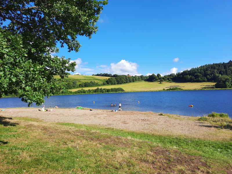
Photo credits : CD63 / Joël Damase