
The Puy de Sancy
Mont-Dore
 No dogs allowed
Distance 7Km
Duration 3h00
Hiking route BOUCLE
Marking Yellow
In pictures


Route description
A ridge trail with grandiose scenery, leading to the summit of the Sancy (1,885 m) in a landscape of steep valleys and wild, deep corridors (Val d’Enfer). Numerous waterfalls tumble down the slopes to give birth to the Dordogne.
Trail highlights
Le puy de Sancy : 360° panorama, orientation table, remarkable views of the entire Sancy massif and the various valleys that surround it.
Guidebook with maps/step-by-step
Step 1 : Facing the starting sign, head uphill to go around the cable car building on the left, then turn left to follow the signs for “Chemin du Sancy.” Cross a stream (the Dordogne), then turn right toward the confluence of the Dore and the Dogne (picnic tables). Then take a trail that climbs through a wooded area and leads to a wide, rocky ski trail (Le pan de la grange). Turn right and continue climbing the trail until, after two hairpin turns, you find a trail on the left. Take it and rejoin the ski trail further on. Pass under the chairlift (view to the north : Le Capucin, La Banne d’Ordanche, Le Puy Gros, the Guéry Plateau, Lake Guéry, Le Puy de l’Angle, Le Roc de Cuzeau ; and to the south, the pyramidal Puy de Sancy). Continue to the plateau.
Step 2 : Head toward the ski lift on the left. At the turn, turn left, then immediately right. Pass the cairn and follow the ridge to the “Le Pan de la Grange” sign. Turn right toward the Col de La Cabane, then right again onto the trail leading to the summit of Puy de Sancy (the highest peak in the Massif Central) (PV2 : 360° panorama, orientation table). Descend on the west side via the wooden stairs. After the plateau, at the intersection, leave the path leading to the cable car and turn left onto a steep, ledge-like trail overlooking the Fontaine Salée Valley (PV3 : the “Orgues des Aiguilles du Diable” rock formations and the Fontaine Salée Valley) until you reach the Col de Courre.
Step 3 : Descend to the right into the Val de Courre, then continue along the valley floor. At the station, pass between two ruined burons, then head right to return to the starting point near the cable car building.
Hike proposed and managed by the Puy-de-Dôme Departmental Council – PDIPR.
Opening hours
From 01/05 to 31/10 daily.
Itinerary closed when the ski area is open.
Subject to favorable weather.
Additional information
For your own safety, always take a bottle of water, a hat, warm clothing and footwear suitable for walking.
Depending on weather conditions, certain itineraries are not recommended in bad weather (fog) or are not practicable, or even forbidden, during the winter season.
Some sites are fragile, so stay on the marked trails. Avoid picking wild flowers and disturbing wildlife. Pick up your garbage.
Animals are not allowed on some routes.
Environment
Mountain view, Mountain location
Access
At Le Mont-Dore, take the D983 towards “Le Sancy” (ski resort). Pay parking at the foot of the cable car.
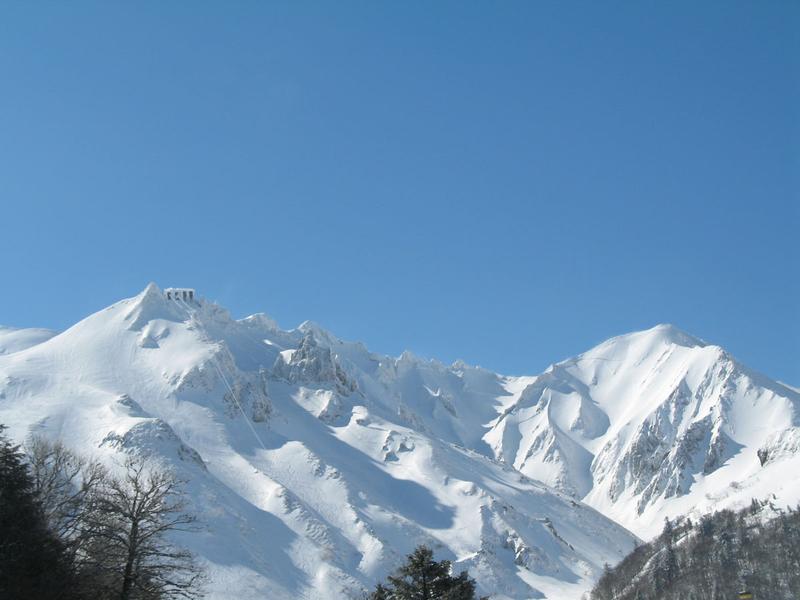
Photo credits : CD63/A.Péronnet, CD63 / C.Bachelerie, CD63 / C.Bachelerie, CD63 / C.Bachelerie, CD63/A.Péronnet
 Updated on 17 August 2026 by Conseil départemental du Puy-de-Dôme