![]()
The puy of Vichatel
Aydat
 Dogs allowed
Distance 3.5Km
Duration 1h15
Hiking route BOUCLE
Marking Blue
In pictures
Route description
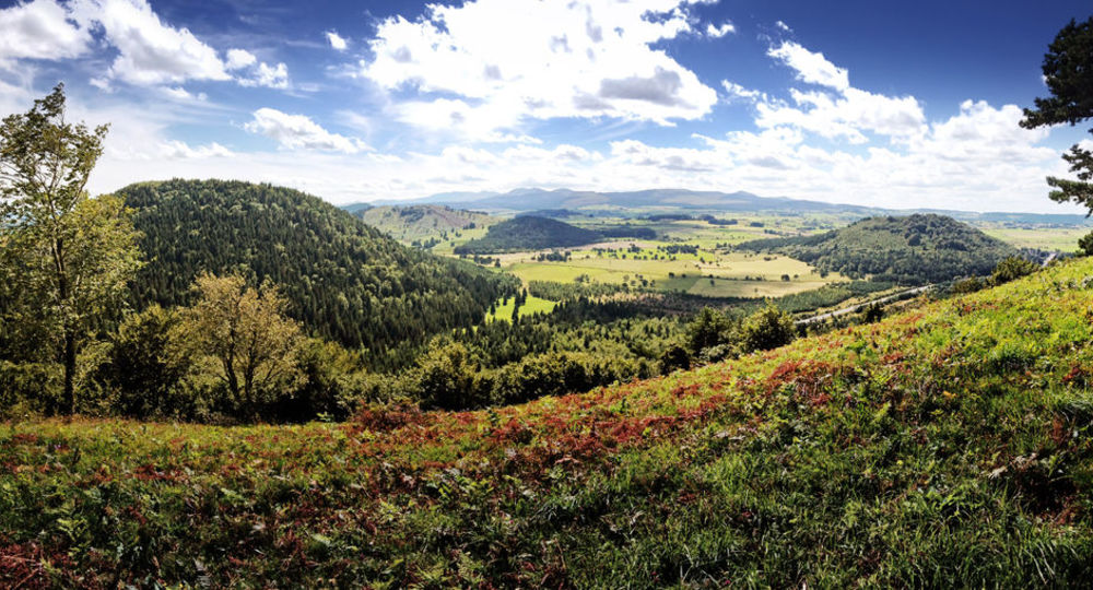
Between moors and woods, this hike plunges visitors into the chaotic world of a volcanic cheire and its characteristic vegetation. The Vache and Lassolas puys and the Ribbe-Haute cave can be seen.
Trail highlights
– Maison du Parc des Volcans (château de Montlosier).
– View of the Charmont and Toupe puys, and the Vache and Lassolas puys.
– View of the Sancy and Lake Aydat.
Guidebook with maps/step-by-step
Step 1 : From the start sign near the toilets, climb the log staircase, cross the road (take care), turn left along the road and then into the undergrowth. Continue until you reach a fork.
Step 2 : Turn right, then ignore the left-hand path. Climb the side of the puy de Vichatel (views of the puys de Montchal, Pourcharet and Montjuger, then those of La Vache and Lassolas). At the fence, on the edge of the crater, continue to the right, direction “accès au sommet”, along a prepared path. Go through a gate. At the highest point (view of the Sancy, Combegrasse and Charmont puys, Lac d’Aydat, Forez mountains). Begin the descent, passing through the gate on the left, signposted “accès au cratère” (access to the crater). Pass another gate and turn right to reach the last gate. Go through it to the nearby intersection.
Step 3 : Turn right and continue downhill to a T-junction near the road. Turn right and return to the start via the crosswalk.
Proposed and managed by the Conseil départemental du Puy-de-Dôme – PDIPR.
/* col-6_sm-12 */ ?>
Opening hours
From 01/01 to 31/12 daily.
Subject to favorable weather.
Comfort, facilities and services
- Pets welcome
Additional information
For your own safety, always take a bottle of water, a hat, warm clothing and footwear suitable for walking.
Depending on weather conditions, certain itineraries are not recommended in bad weather (fog) or are not practicable, or even forbidden, during the winter season.
Some sites are fragile, so stay on the marked trails. Avoid picking wild flowers and disturbing wildlife. Pick up your garbage.
Animals are not allowed on some routes.
Dogs allowed Dogs must be kept on a leash due to the presence of herds.
Environment
Forest location, Mountain view, Mountain location, Presence of livestock and guard dogs
Access
Join the Col de la Ventouse, 20 km S-W of Clermont Ferrand, on the D2089. Continue 300m along the D2089 to find a parking lot and sign on the left for the “Aire du col de la Ventouse, Puy de Vichatel”.
Downloadable :
You might also like…
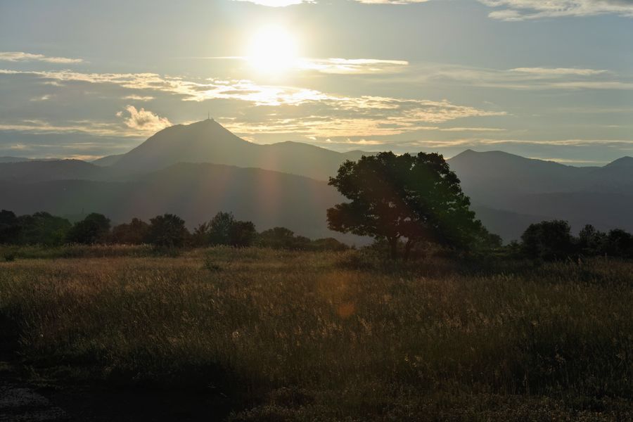
Photo credits : Aurélie Sauvanot – Conseil départemental du Puy-de-Dôme