
Le puy Gros
Mont-Dore
 Dogs allowed
Distance 14.5Km
Duration 5h15
Hiking route BOUCLE
Marking Green
In pictures


Route description
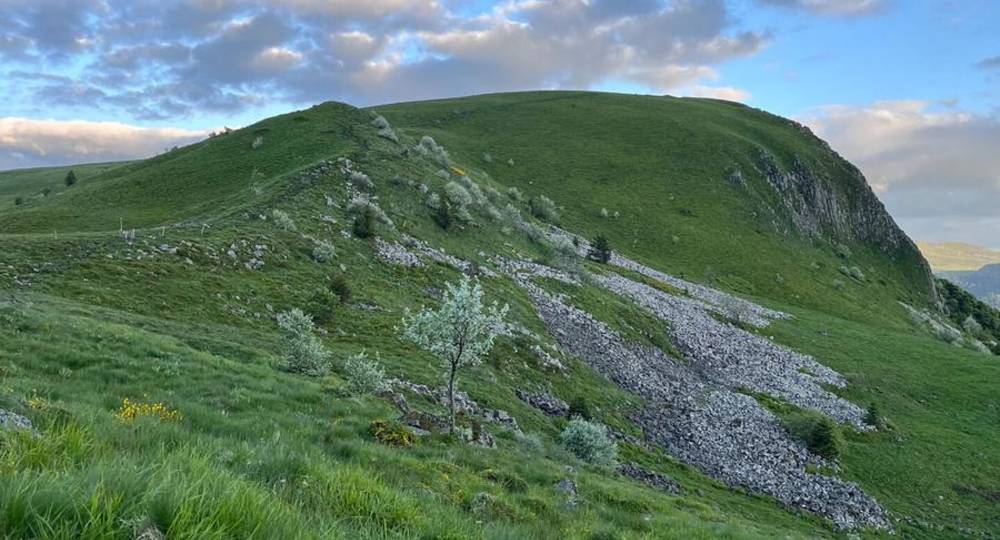
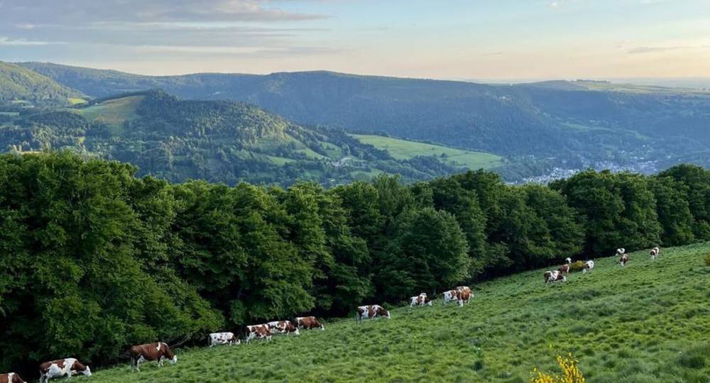
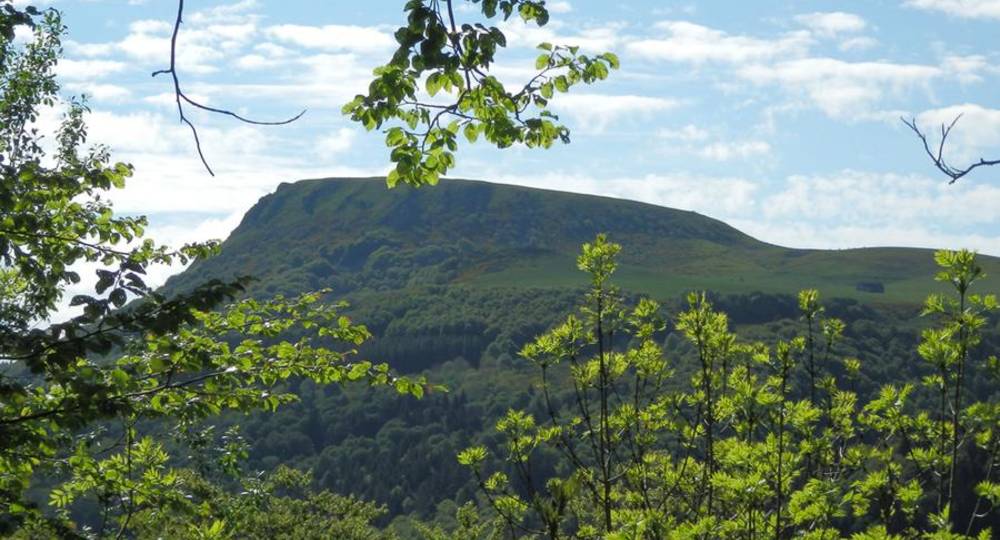
The best view in the département of the Dordogne valley, La Bourboule and the Sancy crests : valley, steep slopes, meadows, streams, burons, lava flows, pumice outcrops… Panoramic views of the Puy de Dôme and the Angle massif.
Trail highlights
View of the Sancy massif and the Chaine des Puys.
Guidebook with maps/step-by-step
Step 1 : Head up the road towards Le Mont-Dore. Take the road to the left as far as the hamlet of La Fougère, cross it and take the track to the right as far as the hamlet of Les Pailloux. Turn left, cross the stream and go right down the track. Climb a sunken track. Cross a stepladder. Continue to an old low stone wall at the entrance to the wood. Climb to the left and, after 50 m, continue right through the beech forest to a low wall at the wood’s exit. Follow the wall, then turn right to enter a wood via a stepladder. Cross another stepladder. Follow a grove on the right, then a fence (PP1 : traces of pre-buron summer pasture dwellings on the left) to a signpost.
Step 2 : Go straight ahead “towards La Bourboule”, then curve left around a puy. Go through a fence (sas) and then over a stepladder. Cross a wetland area and climb up to the corner of a fence. Continue left to reach two markers. Climb to the right “towards puy Gros” to the intersection of several paths.
Step 3 : Turn right and climb the north side of puy Gros. Pass a boulder before a signpost. Join the cliffside path (PV1, 360° view) and turn right. Climb a stepladder, skirt the cliff, go down a stony path (through an airlock) and reach a wide path. Follow this to the left for 300 m, until you reach the intersection of several paths.
Step 4 : Go downhill to the left, cross a footbridge and 50 m further on, continue straight ahead. Enter the forest, cross a small metal footbridge, ignore the adjacent paths and continue downhill (PV2, view of La Bourboule) to the hamlet of Lusclade. Cross the hamlet, pass between the cross and the ferry, descend for 200 m and turn right between the fences to a road. Turn left, cross the D996 and go down the road opposite the GAEC. Follow the stream, cross the railroad line and turn left at the road. Take the path on the left before the bridge. Follow the Dordogne. Cross the railroad again. At the intersection, turn right. In the hamlet of Le Genestoux, turn right twice and follow the Dordogne up to a road. Turn left to return to the starting point.
Proposed and managed by the Conseil départemental du Puy-de-Dôme – PDIPR.
Opening hours
From 01/04 to 31/10.
Subject to favorable weather.
Comfort, facilities and services
- Pets welcome
Additional information
For your own safety, always take a bottle of water, a hat, warm clothing and footwear suitable for walking.
Depending on weather conditions, certain itineraries are not recommended in bad weather (fog) or are not practicable, or even forbidden, during the winter season.
Some sites are fragile, so stay on the marked trails. Avoid picking wild flowers and disturbing wildlife. Pick up your garbage.
Animals are not allowed on some routes.
Dogs allowed Dogs must be kept on a leash due to the presence of herds.
Environment
Mountain view, Mountain location, Presence of livestock and guard dogs
Access
Between Le Mont-Dore and La Bourboule, take the D996 to Le Pont des Marais. Parking lot and signpost near the bus shelter.
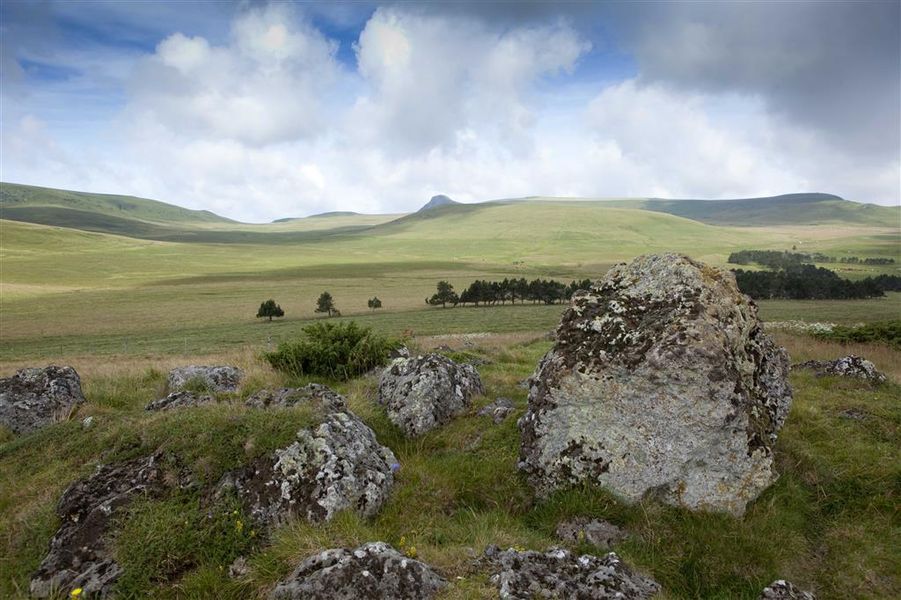
Photo credits : DR Office de Tourisme du Sancy, DR Office de Tourisme du Sancy, DR Office de Tourisme du Sancy, Conseil départemental du Puy-de-Dôme, Conseil départemental du Puy-de-Dôme
 Updated on 29 May 2026 by Conseil départemental du Puy-de-Dôme