
The Puy Neyrand
Sauvagnat-Sainte-Marthe
 Dogs allowed
Distance 6.5Km
Duration 2h00
Hiking route BOUCLE
Marking Blue
In pictures
Route description
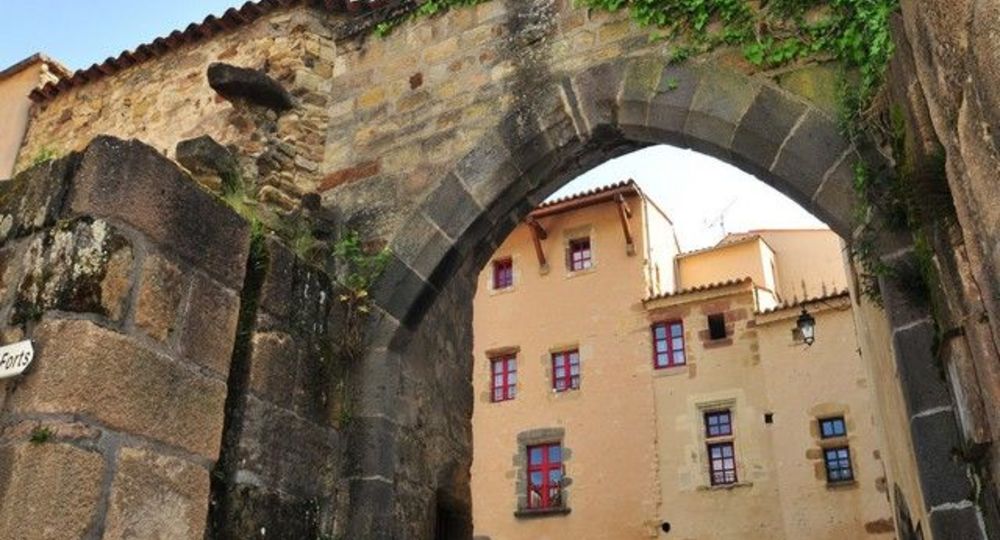
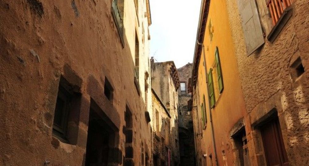
From Sauvagnat, a former Carolingian courtyard, we progress on the slopes of the Puy de Neyrand with long rows of lavender blending with orchards and beautiful vegetable gardens in front of wealthy houses dating back to before the phylloxera crisis.
Starting point – At the top of the square, take the Trézins path. Go up to the first track on the left.
1 – Follow it towards the grove. At the top of the hill take the small path on the left, access to “Puy Neyrand” : AR 20 minutes(…)
Trail highlights
– View of Saint-Yvoine, le Pougelet, in the background the Pic d’Ysson, Montpeyroux and the Chaîne des Puys.
– Rocher de Racoula.
Guidebook with maps/step-by-step
Step 1 : At the top of the square, take the Chemin des Trézins. Go up to the first track on the left.
Step 2 : Follow it towards the grove. At the top of the hill, take the small path on the left, accessing the “Puy Neyrand” : AR 20 minutes (view of Chaîne des Puys, Sancy and Cézallier). On the way back, continue on the balcony path (view of St Yvoine, Issoire, Livradois), and descend to a T-junction.
Step 3 : Turn left. Before the high-voltage line, turn right down the path. At the crow’s-foot, follow the grassy path down towards the valley until you reach the D712.
Step 4 : Follow this road downhill for 100 m. Turn right before the bridge. Go through a garden area. At rue J. Aujame, turn left immediately onto chemin de la Tarraie to the first footpath which rises to the left.
Next step
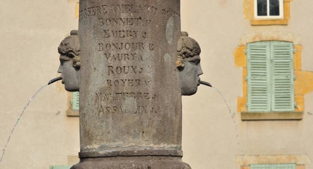
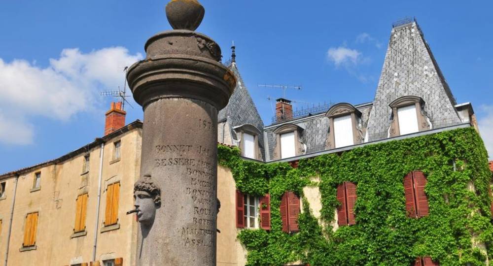
Step 5 : Follow it to the summit (Rocher de Racoulat), fork in the direction of the two pylons and turn immediately left to descend towards Sauvagnat. Go up Rue de la Dray, then Rue de la Conche. At the fountain, go down Rue du Bac. Turn left into the main street. At Place de la Fontaine, enter the Fort district. Turn left into a cul-de-sac, then right. Climb a flight of stairs, turn right, then left into rue de l’Eglise, then left again to return to the original parking lot.
Proposed and managed by the Conseil départemental du Puy-de-Dôme – PDIPR.
Opening hours
From 01/01 to 31/12 daily.
Subject to favorable weather.
Comfort, facilities and services
- Pets welcome
Additional information
For your own safety, always take a bottle of water, a hat, warm clothing and footwear suitable for walking.
Depending on weather conditions, certain itineraries are not recommended in bad weather (fog) or are not practicable, or even forbidden, during the winter season.
Some sites are fragile, so stay on the marked trails. Avoid picking wild flowers and disturbing wildlife. Pick up your garbage.
Animals are not allowed on some routes.
Dogs allowed Dogs must be kept on a leash due to the presence of herds.
Environment
In the country, Presence of livestock and guard dogs
Access
From Clermont-Ferrand take the A75 towards Issoire, leave at exit
n°9 and take the D713 towards Sauvagnat-Sainte-Marthe, then turn right onto the D712. As you enter Sauvagnat, turn left towards Mairie and park on Place du Creux-de-la-Grave.
Downloadable :
Photo credits : N. Dutranoy – Pays Art et Histoire Val Allier Sud, N. Dutranoy – Pays Art et Histoire Val Allier Sud, Norbert Dutranoy, Norbert Dutranoy
 Updated on 29 May 2026 by Conseil départemental du Puy-de-Dôme