
Le Rez de Sol
Lachaux
 Dogs allowed
Distance 11Km
Duration 3h15
Marking Yellow
In pictures
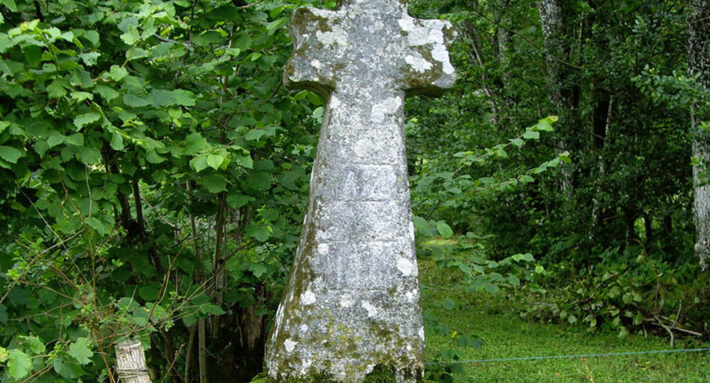
Route description
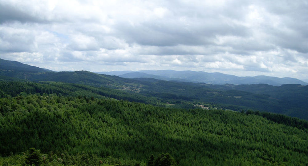
Covering an area of 88 hectares, this site is essentially forested, with thin oak coppice and clearings on skeletal soils. The rich fauna is made up of typical forest breeding species.
Trail highlights
– Softwood forest.
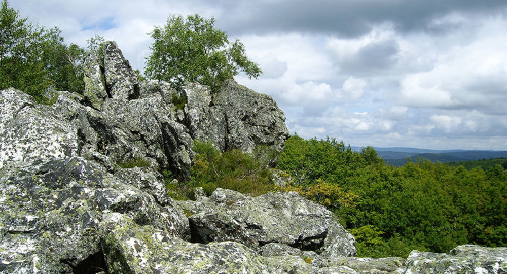
– Le Rez de Sol : quartz vein, orientation table, southern panorama.
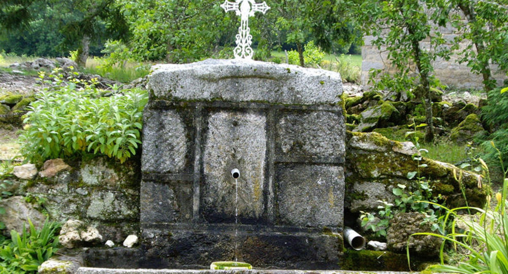
– Small heritage site : stone fountain and mill.
Guidebook with maps/step-by-step
Step 1 : Continue along the track past Petit-Murat. Cross the D328 and take the track on the right, towards Chez Vernin (view of the Rez de Sol). Turn right onto the D43 for 100 m, then left onto a small road which becomes a footpath (view). At the end of a coniferous wood, turn left onto an undergrowth path.
Step 2 : At Chez Cartailler, continue straight ahead. Take the D43 for 50 m, then turn left onto a tarmac track, direction Le Pinon. After the high-voltage line (pillars hidden by trees), turn left onto a stone-lined track. After a short descent, turn right at the edge of a coniferous wood. Follow a field on your left. Turn right onto the D328 and cross the Plan de James (stone fountain).
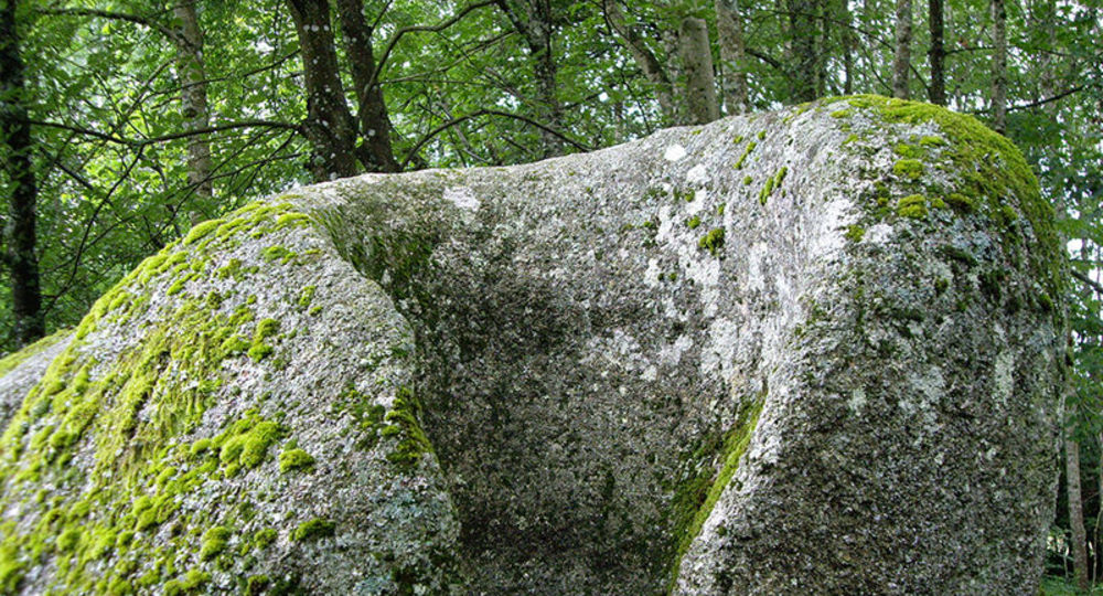
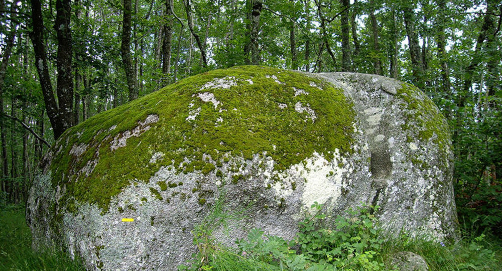
Step 3 : At the left-hand bend, follow the road in front of you, which becomes a track after the house. At the fork, turn left into the undergrowth as far as the flat. At the crossroads, go left. At Rez de Sol (quartz vein, orientation table, southern panorama), follow the path to the left of the ridge ; it passes to the right and descends between 2 large boulders. At the path, turn left and continue straight ahead.
Step 4 : Cross the road and, at the crow’s feet, take the path opposite. Go up, then straight down. At the first fork, turn left, then right at the second, join a wider track and turn right to continue downhill.
Next step
Step 5 : At Pacaud, take the road opposite (view). Cross the D331 and go down to the small road to Moulin la Planche. Go past the mill and up the road. Continue uphill on a left-hand road. Reach Murat, then the starting point opposite.
Proposed and managed by the Conseil départemental du Puy-de-Dôme – PDIPR.
Opening hours
From 01/01 to 31/12 daily.
Subject to favorable weather.
Comfort, facilities and services
- Pets welcome
Additional information
For your own safety, always take a bottle of water, a hat, warm clothing and footwear suitable for walking.
Depending on weather conditions, certain itineraries are not recommended in bad weather (fog) or are not practicable, or even forbidden, during the winter season.
Some sites are fragile, so stay on the marked trails. Avoid picking wild flowers and disturbing wildlife. Pick up your garbage.
Animals are not allowed on some routes.
Dogs allowed Dogs must be kept on a leash due to the presence of herds.
Environment
In the country, Forest location, Mountain view, Presence of livestock and guard dogs
Access
From the village of Puy-Guillaume, take the D63 towards Châteldon. In the village of Châteldon, turn right onto the D63 towards Lachaux. In Lachaux, take the D331 for 2 km towards La Guillermie.
Photo credits :
 Updated on 2 July 2026 by Conseil départemental du Puy-de-Dôme