
The Verneugheol woodland trail
Verneugheol
 Dogs allowed
Distance 4Km
Duration 1h15
Hiking route BOUCLE
Marking Blue markings
In pictures


Route description
Discover the forest and its wildlife along this 4 km trail. Interactive panels will teach you more about forest management and its inhabitants.
Guidebook with maps/step-by-step
Step 564 : 1/ Cross the road and follow the main path through the Trabatergue woods.
At the crossroads, turn right onto a gravel path. Just before the intersection with the D 564, turn left onto a road.
Step 2 : Cross the road and continue on the track opposite. At the clearing, take a path to the right, cross a wetland and climb up to a road.
Follow it to the right, back to the starting point.
Opening hours
All year round daily.
Comfort, facilities and services
- Pets welcome
Additional information
For your own safety, always take a bottle of water, a hat, warm clothing and footwear suitable for walking.
Depending on the weather conditions, some routes are not recommended in bad weather (fog) or are not practicable, or even forbidden, during the winter season.
Some sites are fragile, so stay on the marked paths. Avoid picking wild flowers and disturbing wildlife. Pick up your rubbish.
Dogs allowed Dogs must be kept on a lead
Environment
Forest location
Access
From the village of Verneugheol, follow the D 564 towards St MERD La BREUILLE. When you reach the hamlet of Coussat, turn right onto Rue du CHAMP de la CROIX.
Parking is available at the end of the tarmac road.
You might also like…
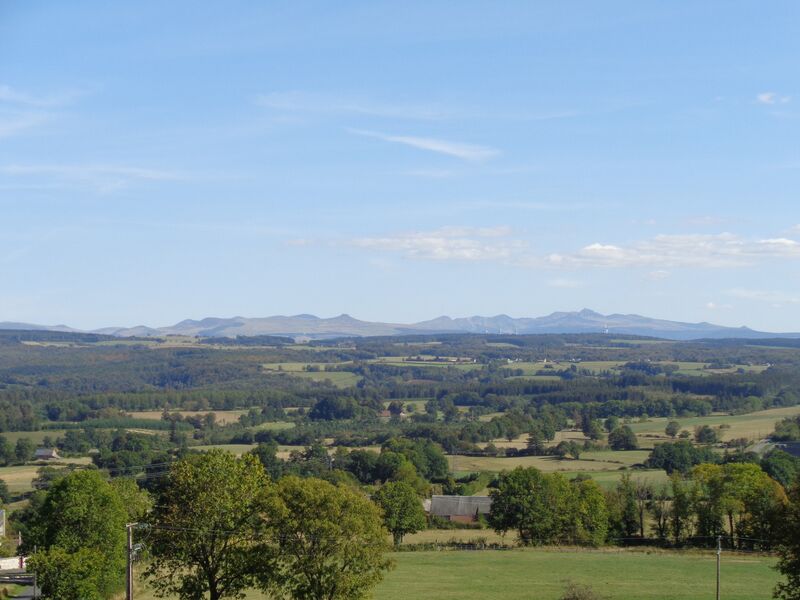

Photo credits : Combrailles Auvergne Tourisme, Combrailles Auvergne Tourisme, Mairie de Verneugheol
 Updated on 26 May 2026 by Office de Tourisme des Combrailles