
The puy de la bannière tour
Volvic
 No dogs allowed
Distance 9.9Km
Duration 2h30
Hiking route BOUCLE
Marking Yellow markings
In pictures

Route description
Start SourcesFrom Volvic, take the D986 towards Pontgibaud. Stay in the right-hand lane and leave the D986, following the arrows to “Sources de Volvic”, where the parking lot is located.
Guidebook with maps/step-by-step
Step 1 : Start at Sources de Volvic. Leave the parking lot and go down the street for about 200m. Turn left into rue du Pont Jany. Pass the Grotte de la Pierre de Volvic. Turn left, then left again. Continue for about 100m, then climb the hill towards Notre Dame de la Garde.
Step 2 : Walk past Notre Dame de la Garde. Continue uphill, keeping to the right. Continue along the path to Château de Tournoël. Go around the château to the left and take the small path leading down behind the road.
Step 3 : Continue to the bridge and turn left. Continue uphill, then take the path on the right. At the T, turn right. Go straight on past the house in the hamlet of Pradelle, turn right and continue for about 100m. Join the GR on the left.
Step 4 : Continue on the GR for about 800m, then take the path on the right. Continue downhill to the road, crossing it to join the path
opposite which runs alongside the road. At the end of the track, turn right to Les Eaux de Volvic. Take the narrow path that crosses the parking lot on the right.
Opening hours
All year round daily.
Comfort, facilities and services
- Car park
- Free car park
Environment
Close to GR footpath, Forest location, In the country, Village -2 km away
Downloadable :
You might also like…
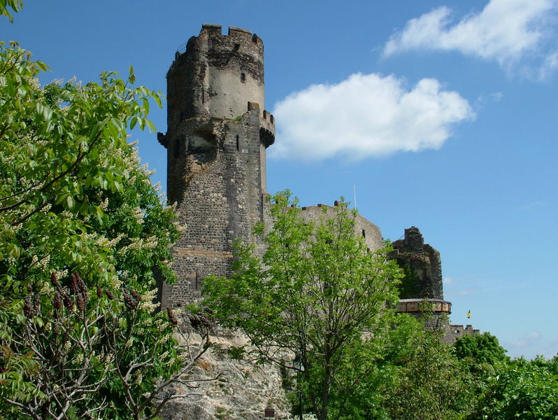
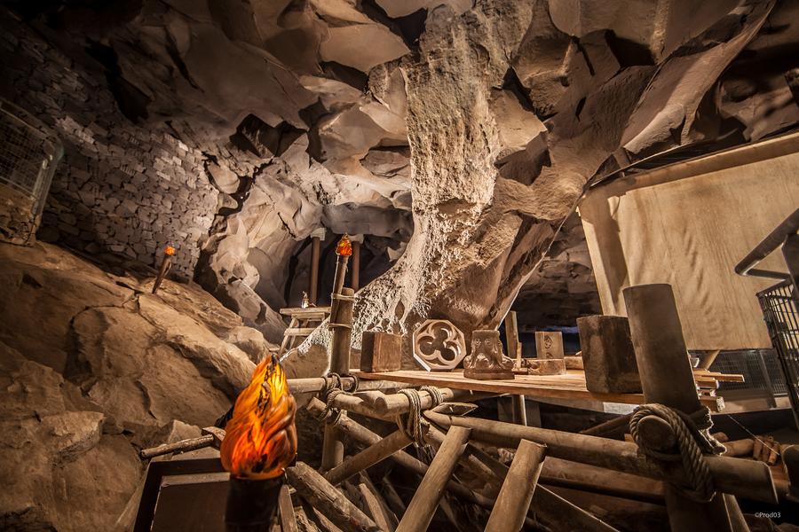
Photo credits : Pixabay
 Updated on 18 December 2025 by Office de Tourisme Terra Volcana, les Pays de Volvic