
The low crosses
Chadeleuf
 Dogs allowed
Distance 6Km
Duration 2h00
Hiking route BOUCLE
Marking Blue
In pictures


Route description
This hike will introduce you to the former winegrowing villages of Chadeleuf and Neschers and will take you along an old roman road.
Starting point – From the starting sign, located on Place de la Résistance, opposite the iron cross and between 2 conifers, go down through the passage of the Canche. Beautiful habitat heritage. Continue opposite by going up rue Borie. At the T-junction, turn right and continue along the grassy path.(…)
Trail highlights
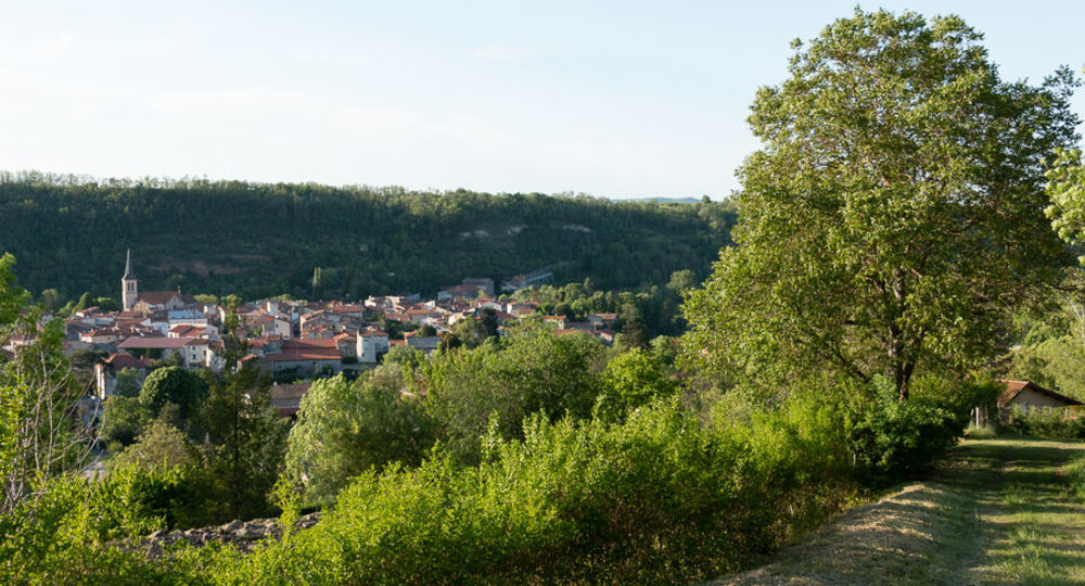
– Views of Chadeleuf and Neschers.
– The old Roman road.
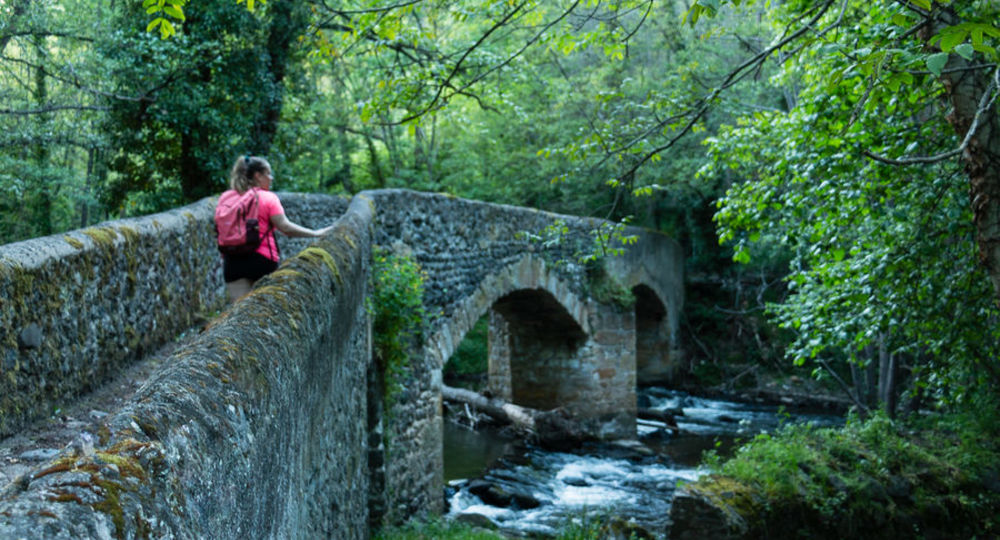
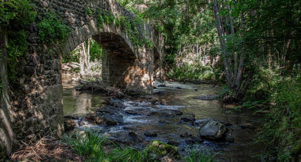
– The Croix-Basses bridge.
– The Couze Chambon.
– Small heritage features : 1859 lava fountain, calvaries, dovecote and washhouse.
Guidebook with maps/step-by-step
Step 1 : From the start sign at Place de la Résistance, opposite the iron cross and between 2 conifers, descend via the Canche passage. Attractive housing estate. Continue opposite, up Rue Borie. At the T-junction, turn right and continue along the grassy path. At the next crossroads, turn right onto a wide dirt track (viewpoint) up to an electricity pole in front of a calvary.
Step 2 : Turn right down the grassy track (old Roman road). View of Neschers. At the road, continue downhill to the right towards Neschers. Cross the route de Coudes and turn left into rue Robert Oléon. Pass in front of the town hall. Ignore Chemin des Vergers on the right, then Rue des Licettes on the left. Continue as far as the Chemin des Meuniers tower.
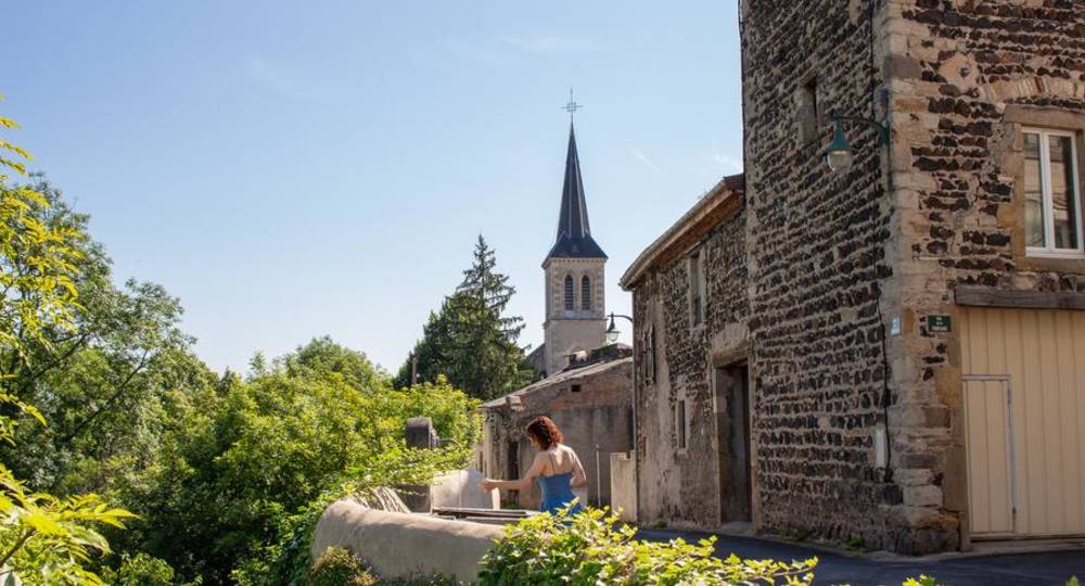
Step 3 : Turn left into rue Pierre Fourvel, as far as the lava fountain (1859). Turn left into rue des Vignerons. Drive around the church. After the calvary, turn right into rue des Murettes, extended by rue des Croix Basses. Opposite no. 11, turn right to reach the banks of the Couze Chambon. Do not take the Pont des Croix Basses, but walk along the Couze to the right (picnic area). At rue du Theil, turn left. Pass under the bridge. Continue along the Couze Chambon along the Chemin des Meuniers to the left, until you reach a dam on the river.
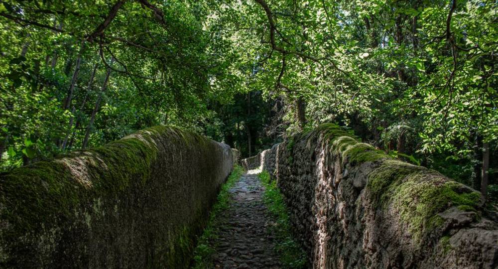
Step 4 : Turn right onto the 2nd narrow path between high walls.
Next step
Step 5 : At the first junction of 4 paths, turn right, then left 50 m further on. At the next T-junction, turn right onto a tarmac road. Turn left as far as signpost 2. Turn left and, 50 m further on, left again into the Chemin des Vergers, as far as the cemetery. Turn right, cross the route de Coudes and climb the path opposite. At the top of the hill (crossroads), turn left (view of Chadeleuf) until you reach a steep cut in the coppice on the right.
Step 6 : Go right down the groove on a winding path. Pass a dovecote. At the bottom of the slope, turn right. Pass a wash-house, then turn right for 80 m. Then climb to the left along a path. In the village, take the Champ Serre path. At the foot of the tower, turn left, then right. Return to the starting point after passing around the church and under a fortified gate.
Proposed and managed by the Conseil départemental du Puy-de-Dôme – PDIPR.
Opening hours
From 01/01 to 31/12 daily.
Subject to favorable weather.
Comfort, facilities and services
- Pets welcome
Additional information
For your own safety, always take a bottle of water, a hat, warm clothing and footwear suitable for walking.
Depending on weather conditions, certain itineraries are not recommended in bad weather (fog) or are not practicable, or even forbidden, during the winter season.
Some sites are fragile, so stay on the marked trails. Avoid picking wild flowers and disturbing wildlife. Pick up your garbage.
Animals are not allowed on some routes.
Dogs allowed Dogs must be kept on a leash due to the presence of herds.
Environment
In the country, Presence of livestock and guard dogs
Access
From Coudes (25 km south of Clermont-Ferrand), take the D229 towards Champeix. After 4.5 km, turn left onto the D23 to Chadeleuf. Parking on Place de la Résistance.
Downloadable :
Photo credits : Julie Lobstein – Agglo Pays d’Issoire, Florine Tony, Julie Lobstein – Agglo Pays d’Issoire, Florine Tony, Julie Lobstein – Agglo Pays d’Issoire, Florine Tony, Julie Lobstein – Agglo Pays d’Issoire
 Updated on 29 May 2026 by Conseil départemental du Puy-de-Dôme